Paradox, Colorado
Looking for the best chillin in Paradox? We've got you covered with the top trails, trips, hiking, backpacking, camping and more around Paradox. The detailed guides, photos, and reviews are all submitted by the Outbound community.
Top Chillin Spots in and near Paradox
-
Mesa County, Colorado
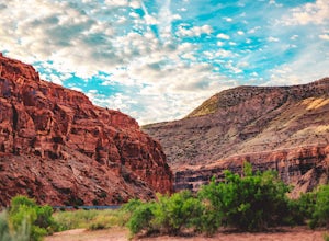
Backpack along the Gunnison River in the Dominguez-Escalante NCA
5.03.4 miIf you're looking to take your first backpacking adventure, but want something that is manageable yet thrilling, this is what you're looking for. Located along the Gunnison River in Western Colorado, the Dominguez-Escalante National Conservation area is easy to access yet full of adventure and be...Read more -
Moab, Utah
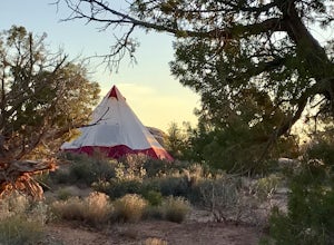
Camp at Willow Springs Trail
4.0Willow Springs Trail is state-owned land located 13 miles north of downtown Moab Utah. The state provides some vault toilets and port-o-lets throughout the area, but there are no designated campsites or fire rings. Along the main road, there are plenty of large flat spots that people with RV's or...Read more -
Moab, Utah
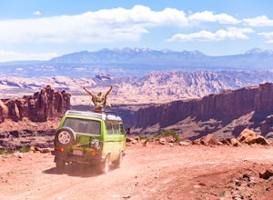
Drive Long Canyon Road
5.0Moab is an outdoor mecca, from rock climbing to mountain biking to 4WD adventures and while not particularly technical (it is only rated Class 2) the 7.8 mile Long Canyon Road just north of Dead Horse State Park is an excellent way to get a taste for the incredible features (and views) that the C...Read more -
Monticello, Utah
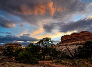
Camp at Squaw Flat Campground
3.0Squaw Flat campground is an easily-accessed area full of picturesque campsites in Canyonlands National Park, Utah. It is located in the Needles District, which is well known for its colorful spires of Cedar Mesa Sandstone that cover the region. Campsite reservations must be made in advance at rec...Read more -
Moab, Utah
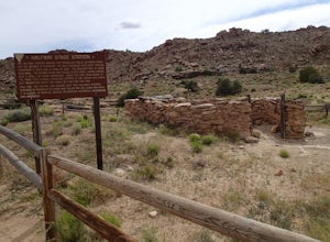
Explore the Halfway Stage Station
The Halfway Stage Station is a ruin site that is located off of Mill Canyon rd. This station served as the half way mark between Moab and Thompson which is where the train station was. It was 35 miles between Moab and Thomson so travelers would stop for lunch on there way to or from Thompson. The...Read more -
Monticello, Utah
Hike the Confluence Overlook
4.010.4 mi / 220 ft gainThe Green River starts in Wyoming and flows 730 miles before joining the Colorado River in Utah. Confluence Overlook Trail is located in the northern parts of the Needles district of Canyonlands National Park. At the southwest edge of the parking area, you will see where the trail starts. The tra...Read more -
Monticello, Utah
Explore Big Spring Creek Overlook
This overlook is at the end of the scenic drive in the Needles District of Canyonlands National Park. Once you step away from your vehicle the world sort of drops out below you into Big Spring Canyon. Just a short walk from the car takes you to some fantastic formations. Visitors can begin the hi...Read more -
Moab, Utah
Hike to Murphy Point
4.33.4 mi / 320 ft gainMurphy Point, found in the Island In The Sky district of Canyonlands NP, takes hikers on a mesa that ends at an overlook with sweeping vistas over Murphy Basin, the White Rim, and Green River. If you're looking to get away from the tourists, then head to this quiet and often overlooked trail.The ...Read more -
Lone Mesa Group Gampground Road, Utah
Camp at Lone Mesa Campground
Lone Mesa Campground off Utah Highway 313, 8 miles from Highway 191, and 20 miles from Moab serves as an excellent basecamp for accessing the fantastic Navajo Rocks mountain bike trail system, Dead Horse State Park, and Canyonlands National Park. In fact, the Big Mesa trail goes right through the...Read more

