Nederland, Colorado
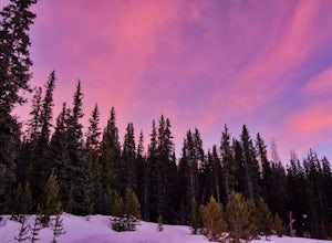
Just up the canyon from Boulder, this sleepy mountain town serves as a gateway to the Indian Peaks Wilderness, with it's myriad options for backpacking, hiking, climbing, and backcountry skiing. In the winter, Eldora is an awesome ski resort just 10 min outside of town.
Top Spots in and near Nederland
-
Fort Collins, Colorado
Catch a Sunset at Bingham Hill Park
Bingham Hill Park sits on the northern terminus of the main hogsback/ridgeline that makes up the eastern wall of the Horsetooth Reservoir, just off the eponymously named Bingham Hill Road and minutes from downtown Fort Collins.From the top you look out over the Front Range, The Poudre River, Arth...Read more -
Kremmling, Colorado
Camp at Wolford Mountain Reservoir
If a nice relaxing adventure is what you seek, this is the place for you. There aren't a lot of super scenic, adrenaline pumping hikes at this campground, but there are well established campsites with beautiful sunrise and sunset views. If you're a photographer, the midnight sky on a moonless nig...Read more -
Fort Collins, Colorado
North Shield Pond Trail
3.01.54 mi / 43 ft gainNorth Shield Pond Trail is a loop trail where you may see beautiful wildflowers located near Fort Collins, Colorado.Read more -
Breckenridge, Colorado
Ski or Snowshoe McCullough Gulch
5.06 mi / 1300 ft gainIf the snow is not coming to you, you go where the snow is. Breckenridge is a good place to start; this beautiful ski area gets more than its fair share of snow, and is full of stunning trails. Why pay big bucks at one of the Nordic centers, when you can access acres and acres of the White River ...Read more -
Breckenridge, Colorado
Winter Hike to Quandary Peak (14,265')
4.67 mi / 3500 ft gainQuandary Peak is a popular winter 14er because of its easy access near Breckenridge, its Class 1 designation, and its low avalanche risk. While the access roads to many 14ers are closed in winter, adding extra mileage to an already grueling hike, Quandary Peak’s access is just off Hwy. 9, and the...Read more -
Bellvue, Colorado
Photograph Poudre Falls
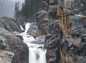
To get to Poudre Falls, simply drive up Poudre Canyon on Highway 14, just north-west of Fort Collins. The drive all of the way up to the falls is a little bit of a jaunt and will take about an hour or so. There are plenty of cool things to see on the way, so have the camera in the passenger seat...Read more -
Livermore, Colorado
Mt. McConnel Summit Trail Loop
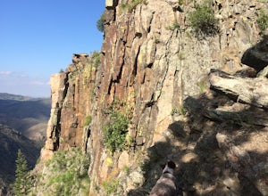
4.26 mi / 1453 ft gainThis 4.3-mile round trip hike gains 1300 feet of elevation before reaching the Mt. McConnel summit. The primitive trail is rated as difficult and has an ascent of many switchbacks, leading up to a wild flower-covered summit. The trail winds along the ridge line around 8,000 feet, offering panoram...Read more

