Montrose County, Colorado
Top Spots in and near Montrose County
-
Somerset, Colorado
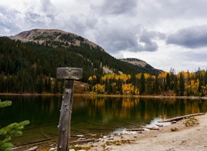
The Three Lakes trail near Crested Butte is a great loop if you're looking to hit up a couple mountain lakes. At 4.5 miles with moderate incline, this trail can easily be knocked out in under 2 hours. It also is a great hike to admire fall colors as you'll get great views of the Ruby Range and th...
Read more
-
Silverton, Colorado
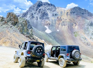
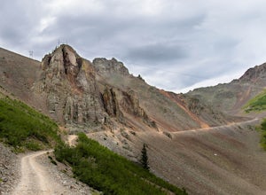
California Pass’s summit is a jaw dropping 12,960 feet above sea level. A long way from the valley floor, California Gulch, but, as drivers start their trek, the valley floor starts to shrink and gives way to steep climbs and switchbacks. Off road vehicles are needed to reach the top, and drivers...
Read more
-
Lake City, Colorado
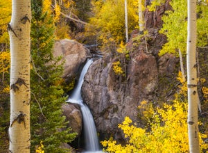
Nellie Creek Falls is a beautiful little falls, up County Road 23. The waterfall is surrounded by a forest of aspens leading up the valley. To get to the falls take the northern route of the Alpine Loop from Lake City towards Engineer Pass. In about 5 miles you come to Nellie Creek Road on the ri...
Read more
-
Silverton, Colorado
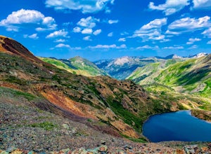
Spending much of the trek above tree line, Hurricane Pass is situated at 12,730 feet above sea level and offers up views of Poughkeepsie Gulch (a more extreme off-road trail) and sapphire blue mountain lakes, such as Lake Como. One of the most beautiful roads in the lower 48 states, Hurricane Pas...
Read more
-
Grand Junction, Colorado
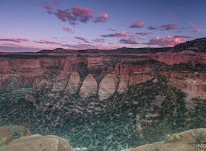
Driving through Colorado National Monument was very easy and gorgeous. Very scenic drive with many lookouts to stop at. Every lookout has a spot to park and you can just jump out and photograph the book cliffs and canyons. I stopped at almost all of the lookouts and they are all breathtaking. I d...
Read more
-
Silverton, Colorado
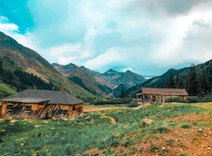
The ghost town of Animas Forks, CO is located in the San Juan Mountains at an elevation of 11,200 feet. There are several original buildings remaining. The best way to explore the region is by Jeep or other high-clearance 4×4.
The cabins began being built by prospectors in 1873. Three rivers meet...
Read more
-
Ophir, Colorado
Ophir Pass (el. 11,114’), officially known as Forest Service Road #630, is one of the easiest of the high alpine trails in the San Juan mountains, but still can provide trouble to the inexperienced or when bad weather is present, particularly on the western/Ophir downhill side. The pass and road ...
Read more
-
Silverton, Colorado
Placer Gulches 4WD trail is a gorgeous route offering scenic vistas of the San Juan Mountains and traverses an area rich with mining history. This area provides gorgeous wild flowers in the peak season of late July/ early August. Some of the best preserved mine structures in Colorado can be found...
Read more
-
Lake City, Colorado
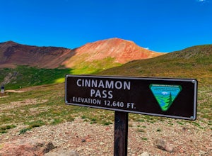
Along Colorado’s Alpine Loop, Cinnamon Pass sits 12,640’ above the San Juan Mountains. A high clearance vehicle preferably with 4WD is needed to reach the pass, but the breathtaking views along the challenging journey make it worth the ride.
During the gold rush in Colorado, Cinnamon pass was us...
Read more

