Meredith, Colorado
Looking for the best hiking in Meredith? We've got you covered with the top trails, trips, hiking, backpacking, camping and more around Meredith. The detailed guides, photos, and reviews are all submitted by the Outbound community.
Top Hiking Spots in and near Meredith
-
Aspen, Colorado
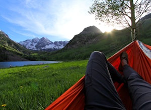
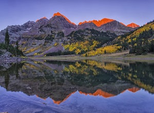
Relax at Maroon Lake
4.9The Maroon Bells are known around the world for being some of the most iconic, beautiful mountains in all of the United States. Even if you haven't heard of them, there's a chance you've seen them. And if you've seen them in person, it's likely you were there with 800+ of your closest friends.If ...Read more -
Aspen, Colorado
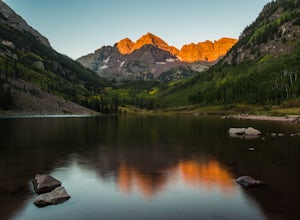
Car Camp at Maroon Lake
5.00.3 mi / 0 ft gainMaybe you've seen the photos a million times before - it's for good reason. Maroon Bells is just stunning. Watching the first rays of sunlight scratch the very top of Maroon Bells and slowly crawl their way down the massive slabs of granite is simply a must for the checklist. Taking in the sunris...Read more -
Aspen, Colorado
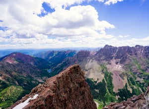
North Maroon Peak
8.08 mi / 4298 ft gainStart your hike at the parking lot/trailhead at the end of Maroon Creek Rd. Keep in mind that the road is closed from about 9am-8pm to traffic and is only accessible by shuttle bus during that time. You'll be wanting to get a very early start anyways, so it shouldn't be an issue. Your path begin...Read more -
Aspen, Colorado
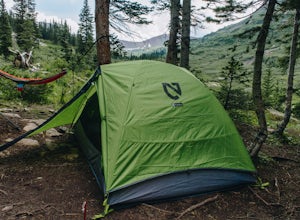
Backpack to Snowmass Creek in the Maroon Bells-Snowmass Wilderness
13 miFor beginner backpackers or just those who can't take off 3-4 days to do the Four Pass Loop, there's still options near the iconic Maroon Bells. If you are planning to do an overnight at the Bells, you need to get there early or late - before 7:30 am or after 5 pm. The overnight lot fills quickl...Read more -
Aspen, Colorado
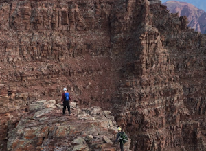
The Maroon Bells Traverse
14 mi / 5000 ft gainI do not want to encourage those who are not capable mentally or physically to go on this hike, that is how accidents happen. Confidence is a must. This route is loose, long, chossy and complicated. The exposure and shear milage covered make for a heck of a day! That being said, I suggest you do ...Read more -
Basalt, Colorado
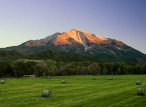
Camp at Thomas Lake and Summit Mt. Sopris
5.013 mi / 4400 ft gainWith the Elk Mountain range behind it, It appears to be standing by itself, and has the resemblance of a grand volcano.From Hwy 133 out of Carbondale, turn down Prince Creek Road and drive 6 miles to the trailhead. The trail is a nice mixture of meadows and woods, with excellent views of the vall...Read more -
Aspen, Colorado
Crater Lake via Maroon-Snowmass Trail
4.63.77 mi / 722 ft gainThe crater lake trail begins at Maroon Lake and quickly breaks off from the scenic trail at .3 miles. Be sure to follow the signs to crater lake, which will be heading higher into the valley. The trail passes through a beautiful Aspen grove most of the way with wonderful views of 14ers, the Maroo...Read more -
Aspen, Colorado
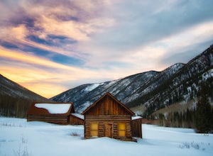
Hike or Snowshoe Castle Creek
6 miAt the round-a-bout that leads into the town of Aspen, take the Castle Creek Road exit. Follow this road for 12 miles until you get to the ghost town of Ashcroft. The road itself is very scenic, so be prepared to pull over and whip out your camera!During winter, the road ends at Ashcroft and a cr...Read more -
Leadville, Colorado
Hike Mount Massive
4.8Starting from the Mt Massive Trailhead off of Halfmoon Creek Road (a half mile past the more popular Mt Elbert Trailhead), follow the excellent and easy trail into the woods. This trail is wide and abnormally flat for a 14er trail for the first three miles. During these first 3 miles the only rea...Read more -
Leadville, Colorado
Colorado Trail: Mount Elbert Trailhead to Twin Lakes
8.49 mi / 1099 ft gainColorado Trail: Mount Elbert Trailhead to Twin Lakes is a point-to-point trail that takes you by a lake located near Leadville, Colorado.Read more -
Leadville, Colorado
North Mount Elbert Trail
4.59.07 mi / 4432 ft gainStart your trip at the North Elbert Creek trailhead, reached by taking Colorado 300 just south of Leadville, and then a left on County road 11 and a right on Halfmoon Creek road. The dirt road to the trailhead is well traveled. The trail begins from the parking lot and winds upwards past 2 clear...Read more -
Aspen, Colorado
Backpack Cathedral Lake
4.75.6 mi / 2000 ft gainCathedral Lake offers an excellent alternative to escape the crowds that swarm the Maroon Bells area, especially in the peak autumn season. The drive along Castle Creek Rd towards the abandoned ski town Ashcroft is lined with aspens showing off their golden hues. Parking at the trailhead is plent...Read more -
Aspen, Colorado
Castle Peak and Conundrum Peak
5.012.71 mi / 5125 ft gainThere are many different places to start the trek up to Castle and Conundrum. The first step, however, is always go to the end of Castle Creek Road just outside of Aspen, CO. When the paved road ends, there is parking available right off the road for those who don't wish to drive further. Howe...Read more -
Carbondale, Colorado
Mountain Bike Prince Creek
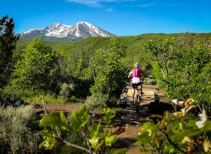
Turn south off Colorado State Highway 82 onto Highway 133 toward Carbondale. Continue south past the Carbondale Main Street roundabout. After two miles, turn East onto Prince Creek Road. Follow this four miles to where the pavement ends. This is the best place to park to start biking or running.F...Read more -
Buena Vista, Colorado
Summit La Plata Peak
5.09.25 mi / 4500 ft gainThe Northwest Ridge is the most easily accessible and popular route, and for good reasons. The trailhead is on the side of Hwy 82, otherwise known as Independence Pass, about 14.5 miles from the Hwy 24 junction, or about 10 miles from Twin Lakes to the east. The trailhead is hard to miss, and you...Read more -
Leadville, Colorado
Overnight at the Emma and Marceline Yurts, Leadville
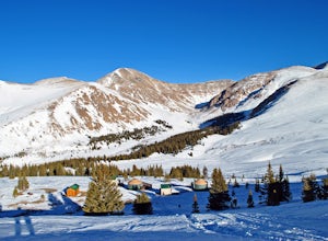
11 mi / 1200 ft gainDrive past the main downtown of Leadville and then head into the mountains south of town, following Mt. Sherman Road to the Yurt parking along a ridge before you come to the Black Cloud Mine. There are signs that say "Yurt Parking". Follow the road a little further down to a jeep road just before...Read more

