Mancos, Colorado
Looking for the best chillin in Mancos? We've got you covered with the top trails, trips, hiking, backpacking, camping and more around Mancos. The detailed guides, photos, and reviews are all submitted by the Outbound community.
Top Chillin Spots in and near Mancos
-
Ophir, Colorado
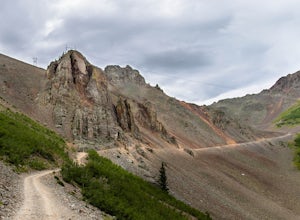
Drive Ophir Pass
4.58 mi / 2500 ft gainOphir Pass (el. 11,114’), officially known as Forest Service Road #630, is one of the easiest of the high alpine trails in the San Juan mountains, but still can provide trouble to the inexperienced or when bad weather is present, particularly on the western/Ophir downhill side. The pass and road ...Read more -
Telluride, Colorado
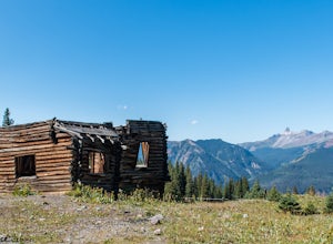
Explore Alta Ghost Town
5.00.5 miAlta Ghost Town is located about 10 miles from Telluride on Alta Lakes Road. Take the rugged dirt road approximately 2 miles until the ghost town appears on the left. Hike up the short trail to view the remnants of the old mining town with many of the buildings still standing, including the impre...Read more -
Telluride, Colorado
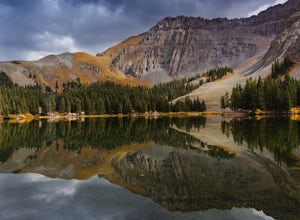
Alta Lakes Dispersed Camping
4.7Note: Camping is permitted around the lake. There are approximately 20 undeveloped campsites. For more information, head to the US Forest Service website. Camping Facilities20 campsites that are completely undevelopedCamping is permitted at only the designated campsitesPortable toilets are avail...Read more -
Silverton, Colorado
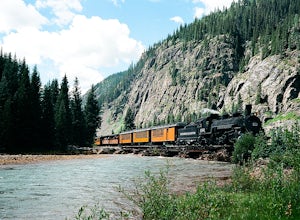
Fly Fish the Animas River
4.0While the Animas River runs for miles in the San Juan National Forest, a beautiful (and accessible) stretch runs right through Silverton, CO. Here, you can fish, hike, or chill. The river is fast with very few pockets for the trout to hide; however, if you search around enough, you'll find a fish...Read more -
Teec Nos Pos, Utah
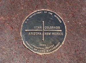
Visit Four Corners Monument
4.0Pretty cool spot to check out if you are in the area. Not a hike or anything like that. Just a cool landmark that will let you grab some pretty nice pictures. Enjoy!Read more -
Telluride, Colorado
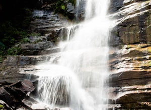
Hike to Bear Creek Falls in Telluride
5.05 mi / 1000 ft gainThe trail begins at the south end of Pine Street in Telluride, and proceeds 2.5 miles up the Bear Creek Canyon trail with an elevation gain of about 1,000'.Be sure to stay to the left at the divide with the Wasatch Trail.At the waterfall there is a small use trail that contours up to the right an...Read more -
Telluride, Colorado
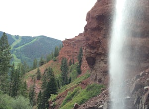
Hike to Cornet Creek Falls
4.0Only 5 minutes from the center of Telluride, Cornet Creek Falls is the perfect hike for those seeking a serene mountain escape without having to go far away from the center of all the action.From town, head up North Aspen Street towards the Jud Wiebe Trailhead. Once arrived, continue straight up ...Read more -
Telluride, Colorado
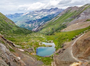
Drive Black Bear Pass & the Ingram Basin
5.012 mi / 3000 ft gainBlack Bear Pass (el. 12,840’), officially known as Forest Service Road 648, is an infamous 4WD road that runs between U.S. Highway 550 (between Silverton & Ouray) and Telluride, CO. From the pass downhill through the Ingram Basin to Telluride, the road is one-way and features switchbacks and ...Read more

