Longmont, Colorado
Looking for the best hiking in Longmont? We've got you covered with the top trails, trips, hiking, backpacking, camping and more around Longmont. The detailed guides, photos, and reviews are all submitted by the Outbound community.
Top Hiking Spots in and near Longmont
-
Laporte, Colorado
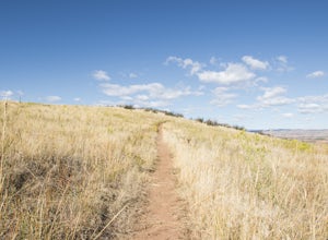
Hike the 3 Bar and Oh Tee Loops at Eagle's Nest Open Space
5 mi / 150 ft gainTo get to Eagle's Nest Open Space drive on Highway 287 between Laramie, Wyo. and Fort Collins, Colo. As you continue down 287, look for the Forks restaurant and rest stop in Livermore, Colo. Turn here onto Red Feather Lakes Road. After a few hundred feet on Red Feather Lakes Road, look for the E...Read more -
Littleton, Colorado
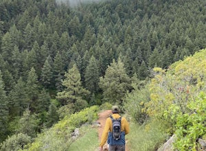
Golden Eagle Trail to Bill Couch Mountain
5.06.76 mi / 1509 ft gainGolden Eagle Trail to Bill Couch Mountain is an out-and-back trail that provides a good opportunity to view wildlife located near Indian Hills, Colorado.Read more -
Littleton, Colorado
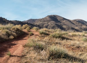
Hike the Meadowlark Plymouth Trail
4.06 mi / 1197 ft gainFrom the parking lot, you can take the Meadowlark trail to the west or the Plymouth Creek Trail to the southeast. It does not matter which trail you take because it ends up becoming loop. For a more gradual slope up the hill, take the Meadowlark trail. After a little more than a mile, it intersec...Read more -
U.S. 40, Colorado
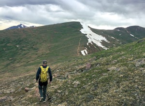
Parry Peak
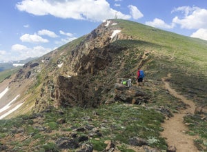
11.82 mi / 4209 ft gainThe trek to Parry Peak crosses three other peaks (Colorado Mines Peak, Mt. Flora, and Mt. Eva) along the Rocky Mountains. Begin your hike around sunrise as inclement weather often rolls in during the late afternoon. The trail is extremely rocky and steep. From the Berthoud Pass parking lot, fol...Read more -
Berthoud Pass Parking Lot, Colorado
Mount Flora
5.06.29 mi / 1788 ft gainColorado’s Rocky Mountains offer hikes of all lengths, sizes and difficulties. Mt. Flora stands at a lofty 13,146 ft and is a great intro to climbing peaks in Colorado. Roundtrip, this hike is 6.3 miles and will take you (in the summer) through fields of alpine wildflowers as you climb into Color...Read more -
Evergreen, Colorado
Hike the Resthouse/Lincoln Lake Trail
4.5While the Mt. Evans Wilderness never has a shortage of visitors, thanks to its proximity to Denver, it is possible to find a more private hike if you know where to look. Lincoln Lake Trail, accessible from Echo Lake year-round, is not as glamorous as its sister trail, Chicago Lakes, but is a wond...Read more -
Idaho Springs, Colorado
Explore Echo Lake Park
4.01.2 mi / 88 ft gainLocated at the base of Mt. Evans Road, Echo Lake sits next to Squaw Pass Road, providing a great jumping-off point for numerous adventures. The park serves as a trailhead for hiking or snowshoeing into the Mount Evans Wilderness, offers picnic areas, and includes a nearby campground with 17 site...Read more -
Idaho Springs, Colorado
Hike to Idaho Springs Reservoir
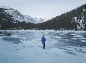
3.9 mi / 800 ft gainThis is a great hiking area an hour outside of Denver, Colorado. It's still easily accessible in the winter and most of the time it can be hiked without snowshoes. Starting at the Echo Lake parking lot, hike around the right side of the lake until you reach a fork in the trail. Follow the path on...Read more -
Idaho Springs, Colorado
Lower and Upper Chicago Lake
4.59.22 mi / 2270 ft gainFrom the parking lot, stay to the right of Echo Lake and you will run into the Chicago Lakes Trailhead. Follow the switchbacks down and across Chicago Creek. After crossing the creek, follow the sign indicating that the trail follows the dirt road and hang a left; from here, you'll reach the Idah...Read more -
Conifer, Colorado
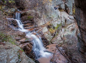
Upper Maxwell Falls Trail
1.11 mi / 135 ft gainUpper Maxwell Falls Trail is an out-and-back trail, which is the shortest and most direct route to Maxwell Falls located near Conifer, Colorado. If you're looking for a little longer trail, check out this Maxwell Falls adventure for a roughly 4-mile loop hike.Read more -
Idaho Springs, Colorado
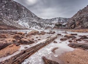
Hike to Hell's Hole
4.5The name is uninviting, but Hell’s Hole is a scenic, shallow basin in the Mount Evans Wilderness near Idaho Springs. Starting elevation is about 9500 feet. Right after the trailhead, you pass through a few camping sites in the Chicago Creek Picnic Area. About five minutes into the hike is the per...Read more -
Lone Tree, Colorado
Hike Bluffs Regional Park Trail
2.7 mi / 200 ft gainThis loop trail is 2.7 miles long but has several options for overlooks that add 0.8 miles to the trip. This is an easy hike with minimal elevation gain and is a great option for the whole family. Every time I've done this hike I've seen numerous deer which only adds to the hike!Read more -
Idaho Springs, Colorado
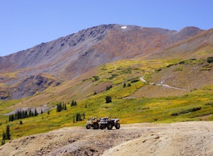
ATV Leavenworth Creek Road (Guanella Pass)
16.6 mi / 3655 ft gainSeptember is famous in Colorado for clear, deep blue skies,sublimely perfect temperatures, and gold-digging – of the leaf variety, thatis. On September 9, wildflower season was recently past and the best of theleaves were yet to come, but it was the perfect, clear and sunny day to checkout the hi...Read more -
Dillon, Colorado
Hike the 7:30 Mine Road in Silver Plume
4.05 mi / 1200 ft gainWith a name like 7:30 Mine Road, this is one hike I had to investigate to see if it lives up to its name. Even though this is an easier hike than I normally choose, what it lacks in challenging terrain, it makes up for in historic interest. The view isn’t too bad, either.7:30 Mine Road is about t...Read more -
Littleton, Colorado
Winter Hiking and Wildlife in Waterton Canyon
3.712.4 miWaterton Canyon is the beginning of the Colorado Trail which stretches 500 miles from Denver to Durango. Camping is allowed on the Colorado Trail but is not allowed in the first 6 miles section of Waterton Canyon, which is managed by Denver Water. The gravel road is great for running, biking, hi...Read more -
Silver Plume, Colorado
Argentine Railroad Grade
5.05.35 mi / 863 ft gainThe Argentine Central Railroad Grade trail is just what it says: it follows the old rail bed of the Argentine Central line. All railway remnants have long since been removed, and in its place is a wide, well-defined trail with an easy grade. With just a 900-foot incline over the course of about t...Read more

