Lake George, Colorado
Looking for the best photography in Lake George? We've got you covered with the top trails, trips, hiking, backpacking, camping and more around Lake George. The detailed guides, photos, and reviews are all submitted by the Outbound community.
Top Photography Spots in and near Lake George
-
Sedalia, Colorado
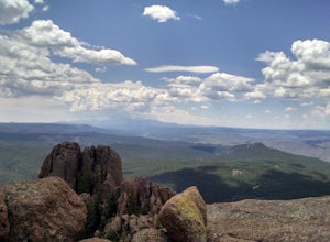
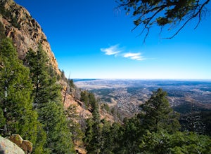
Hike Devils Head Fire Lookout
4.72.8 mi / 951 ft gainThis is one of my favorite hikes near Denver and the lookout itself is over 100 years old! On the road to the trailhead there are many spots for camping and other activities.From Sedalia, CO head down Highway 67 for about 10 miles. Turn south onto Rampart Range Rd and continue for about 9.5 miles...Read more -
Manitou Springs, Colorado
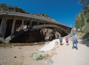
Walk to Rainbow Falls
0.5 miThis waterfall was designated a historic site in 2016 due to its rich history dating back to the Native Americans and more recently the locals of Manitou Springs. The bridge itself that crosses over the falls was created in the early 20th century and was an architectural marvel during the time. ...Read more -
Manitou Springs, Colorado
Hike Red Mountain
2 mi / 750 ft gainThe hike can be started from where the Intemann trail meets Ruxton Ave close to Iron Spring. For parking, you can park at one of the few pay-for parking along the street or park in town and take the bus up to the incline. The hike starts up what seems to be a driveway until you reach a small gate...Read more -
Manitou Springs, Colorado
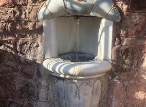
Manitou Springs' Mineral Springs
5.0Manitou Springs is home to eight mineral springs all fairly close to the main shopping strip of Manitou. The springs were originally utilized by the Native Americans. In the 19th century, they were utilized by visitors from all over the world due to their supposed health benefits. They all taste ...Read more -
Colorado Springs, Colorado
Hike to Blodgett Peak
3.04.5 mi / 2325 ft gainGetting There Google Maps + "Blodgett Peak Open Space"= Easy Peasy. The parking lot only accommodates 11 cars with a one of those reserved for handicap. A port-a-potty is the only facility available at the trail head, so plan accordingly. The Hike Starting out at about 7,000 feet the first mile ...Read more -
Pine, Colorado
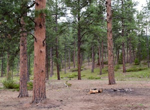
Dispersed Camp at the Buffalo Creek Area in Pike National Forest
3.850 miles from Denver, nestled in Pike National Forest, there are dozens of free dispersed camping sites. With quick access to the Colorado Trail and Buffalo Creek Mountain Bike Area, these campsites make for a perfect weekend getaway. The campsites begin on Forest Road 550, and are clearly marked...Read more -
Cañon City, Colorado
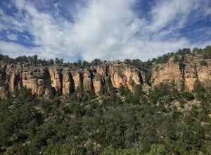
Climb at Shelf Road
4.41.5 mi / 400 ft gainShelf Road is secluded, rural, and has great climbing. There are so many areas to choose from and it has a great diversity of route levels (mostly sport routes). My personal favorite area is "The Gallery" and "The Bank." Everyone is friendly and gives each other a hand.Sand Gulch Campground, righ...Read more -
Teller County, Colorado
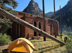
Backpack to the Abandoned Skagway Power Plant and Ghost Town
3.510 mi / 1000 ft gainConstruction of the Skagway Plant began in 1899 and was complete in 1901. In 1965, 15 days of rain brought floods washing out a lot of the pipeline and other infrastructure. Fixing the power plant didn’t make sense and funds weren’t in place. The land was reverted to the government. The hike b...Read more -
Cañon City, Colorado
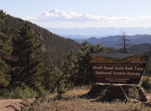
Shelf Road
5.0Shelf Road, which was once a toll road from Cripple Creek to Canon City, is now a maintained dirt road that most high clearance two wheel drive cars can make. It will take over an hour to travel the 25 miles or so, and it can be completed going from north to south or the opposite. I will explai...Read more -
Colorado Springs, Colorado
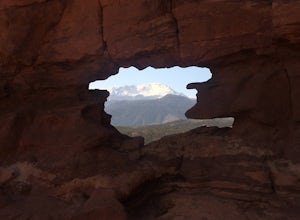
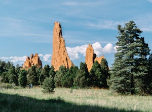
Siamese Twins Loop
4.00.55 mi / 105 ft gainSiamese twins is about a half mile hike with little elevation gain that is a quick hike while driving the park. The hardest thing about this is getting a parking spot to tell you the truth. On a weekend or pretty much any summer day the five or so spots available at the trailhead are constantly...Read more -
Manitou Springs, Colorado
Hike to Mt. Rosa
4.83.7 mi / 1322 ft gainTo get to the trailhead start on Old Stage Rd. After 11 miles turn right onto Forest Service Rd 379. This is a 4WD road. A small/large SUV, or truck should do the trick, nothing too crazy though. Drive on FS 379 for 1.5 miles until you come to an open field on the right known as Frosty Park. Ther...Read more -
Colorado Springs, Colorado
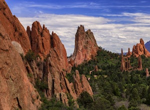
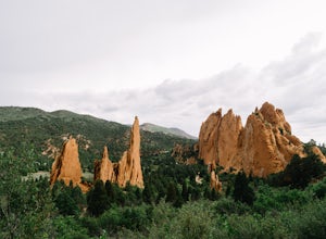
Climb and Hike in the Garden of the Gods
4.7If you are new to the area a stop by the visitor center can helpful to get a map of the trails and roads in the area as well as obtaining a climbing permit (one is needed to climb and is free).Once you have entered the area there are multiple trails and pull outs that you can explore. Many of the...Read more -
Colorado Springs, Colorado
Hike the Upper Loop Trail
5.00.75 mi / 72 ft gainThis short spur trail is right off Perkins Central Garden Trail. Most people walk by it because the walkway changes from paved to dirt, but it is definitely a must-see if you're exploring the park. It climbs just a short amount before reaching the rocks you can climb on. Make sure you take a mome...Read more -
Colorado Springs, Colorado
Perkins Central Garden Trail
5.01.13 mi / 138 ft gainGarden of the Gods has dozens of hiking trails that cover miles through the park itself. The Perkins Central Garden Trail takes you through the heart of the rock formations and really gives you perspective on the size of these red rocks. This trail also takes you past several areas where rock cl...Read more -
Colorado Springs, Colorado
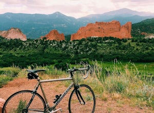
Bike the Garden of the Gods Loop
5.06 mi / 500 ft gainThe Basics: Garden of the Gods is a free, public park on the Western edge of Colorado Springs. Open year round, the excellent paved roads with wide bike lanes provide road bikers with multiple loop options from 3 to 10+ miles. From casual bike riders to seasoned pros, you choose your distance and...Read more -
Manitou Springs, Colorado
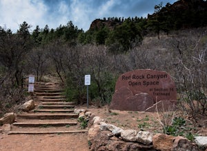
Hike Palmer Trail Loop at Section 16
5.5 mi / 1400 ft gainThe Section 16 trailhead can be found on lower Gold Camp Road. Almost immediately, the trail begins to rise in elevation. The grade is gentle at first but soon becomes a steep steady climb for about a mile and a half, until you reach the ridge. Along the way, you will see many intersecting trail...Read more

