Idaho Springs, Colorado
Looking for the best fitness in Idaho Springs? We've got you covered with the top trails, trips, hiking, backpacking, camping and more around Idaho Springs. The detailed guides, photos, and reviews are all submitted by the Outbound community.
Top Fitness Spots in and near Idaho Springs
-
Nederland, Colorado
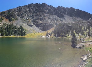
Hike to Columbine Lake
5.07 mi / 1200 ft gainThe hike is about seven miles, give or take, however it feels longer. The elevation gain is little over 1000 feet. The drive here is about 45 minutes from both Granby and Winter Park, and is definitely worth it. You follow a trail dusted with wildflowers for the majority of the hike, and occasio...Read more -
Fraser, Colorado
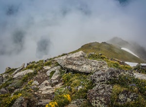
Summit Byers Peak
8.8 mi / 2774 ft gainThe drive to the start of the trail is okay, having a high clearance vehicle would make the drive easier, but is not necessary. Free parking is available along the side of the road.The trail starts on a closed service road at a gate and requires you to either hike or bike up the dirt road (2 mil...Read more -
Boulder, Colorado
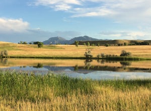
Hike the Eagle Sage Loop
4.33.75 mi / 205 ft gainThis is a great trail if you are in the Boulder area and want something fairly easy or quick. This 3.75 loop can be hiked in about an hour and a half since it is fairly flat. The elevation gain is minimal. You start out at the Eagle Trailhead located west of the Boulder Reservoir.Start out at the...Read more -
Littleton, Colorado
Winter Hiking and Wildlife in Waterton Canyon
3.712.4 miWaterton Canyon is the beginning of the Colorado Trail which stretches 500 miles from Denver to Durango. Camping is allowed on the Colorado Trail but is not allowed in the first 6 miles section of Waterton Canyon, which is managed by Denver Water. The gravel road is great for running, biking, hi...Read more -
Silverthorne, Colorado
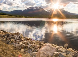
Hike to Old Dillon Reservoir
4.51.7 mi / 137 ft gainToday, Lake Dillon is one of the biggest attractions in the Dillon Valley, attracting boaters, anglers, and campers. However, the large reservoir we know today was not the first one in the area. The Old Dillon Reservoir was built in the 1930s to supply water to the original town of Dillon, which...Read more -
Silverthorne, Colorado
South Willow Falls
4.66.17 miStart at the Willowbrook Trailhead. You’ll hit a “Y” in the trail pretty quickly - go left and you’ll soon be at the first log bridge. There are quite a few water crossings on the trail, but they are easy to maneuver. After hiking in the Willow Creek Open Space for a bit, you’ll enter Eagle’s Ne...Read more -
Littleton, Colorado
Hike to Carpenter Peak
4.56.2 mi / 1171 ft gainCarpenter Peak stands at 7,166 feet above sea level. While that altitude might not exactly take your breath away, the views from the top certainly will. Starting at the Visitor's Center, the trail to Carpenter's Peak begins as a relatively flat, well-traveled trail. A little less than a mile into...Read more -
Allenspark, Colorado
Hike to Ouzel Falls
4.05.22 mi / 870 ft gainLocated right outside of Rocky Mountain National Park, this hike is perfect for anyone looking to do a little exploring without the cost of a park fee. The drive through the Rocky Mountains to the trailhead is an added bonus. This hike is great because it has multiple attractions all along the wa...Read more -
Allenspark, Colorado
Ouzel & Ogallala Peaks
17.18 mi / 4403 ft gainBegin at the Wild Basin Trailhead in southeastern Rocky Mountain National Park near the town of Allenspark. Plan to start before sunrise if attempting this trek as a day trip in order to avoid afternoon thunderstorms above the treeline. This trip can easily be made into a backpacking experience b...Read more -
Silverthorne, Colorado
Lily Pad Lake
4.73.27 mi / 531 ft gainLily Pad Lake is a well known destination just outside of Silverthorne and in the Eagle's Nest Wilderness. The trail may be heavily trafficked on the weekends, but solitude can still be found in the early mornings or during the weekdays. The trail starts at the Lily Pad Lake Trailhead, just to t...Read more -
Breckenridge, Colorado
Camp at Boreas Pass
9 mi / 1500 ft gainBoreas pass is a high mountain pass in the Rocky Mountains that sits on the Continental Divide at 11,481'. Forest Service Road 33 goes over the pass and has numerous campsites all along its length, with several near the summit that feature breathtaking views of the Tenmile Range and the Breckenri...Read more -
Breckenridge, Colorado
MTB Boreas Pass
Boreas Pass is a scenic route that lies between Como (north of Fairplay on Hwy 285) and Breckenridge. It is 21 miles of low maintenance, rough gravel road that follows the Continental Divide and summits at 11,481 feet. Other than the altitude, the ride is not difficult, as the grade is not steep ...Read more -
Frisco, Colorado
Climb Mount Royal
4.7To access the trailhead, drive 4 blocks South to the end of 2nd Avenue from Frisco's Main Street. The trailhead is located around 9,075 feet.Being a popular hike, the trail is clear in the summer months and usually populated by boot prints and snowshoe tracks in the winter. Follow the trail from ...Read more -
Breckenridge, Colorado
Hike to & Stay at Francie's Cabin
5.01.09 mi / 1000 ft gainLocated at 11,360' and owned by the 10th Mountain Division Hut Association, Francies Cabin was built in memory of Frances Lockwood Bailey in 1994 and is located just a short distance (5 mile drive, 1.05 mile hike) from town of Breckenridge, Colorado. It has a summer and winter capacity of 20 peop...Read more -
1398 Longs Peak Road, Colorado
Storm Peak and Mount Lady Washington
4.512.57 mi / 5312 ft gainThis adventure began at the Longs Peak trailhead in southeastern Rocky Mountain National Park, Colorado. I followed the Longs Peak trail for 6 miles to the Boulderfield backcountry camping area. This is a fairly steep on-trail climb of 3,360 feet. After setting up camp at 12,760 feet, my partner...Read more -
Longmont, Colorado
McIntosh Lake Loop
4.53.6 mi / 72 ft gainMcIntosh Lake is in northwest Longmont. The 3.6-mile loop extends all the way around the lake, with the first half being on a paved cement trail with neighborhood playgrounds, basketball, volleyball, and a seasonally open restroom. The trail turns to dirt on the western half of the loop, and here...Read more

