Georgetown, Colorado
Looking for the best hiking in Georgetown? We've got you covered with the top trails, trips, hiking, backpacking, camping and more around Georgetown. The detailed guides, photos, and reviews are all submitted by the Outbound community.
Top Hiking Spots in and near Georgetown
-
Grand Lake, Colorado
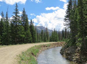
Hike the Colorado River Trailhead Loop
5.013.6 mi / 1245 ft gainSince this hike is 13.6 miles (according to my watch the hike was more around 14 miles, but it's in that range), I'm going to break it down into four different parts. To Lulu CityTo Little Yellowstone / Thunder PassThe Grand Ditch Red Mountain Trail The first 0.5 miles and the last 0.5 miles a...Read more -
Estes Park, Colorado
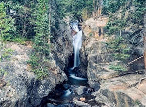
Chasm Falls
3.02.57 mi / 132 ft gainParking in Rocky Mountain National Park is tricky for Chasm Falls. Depending on where you are able to park, the hike will be a 0.1 mile, 2.8 mile, or 4.8 mile round-trip hike. It’s also important to know that Old Fall River Road is closed during the winter months from Nov 30th until the end of Ma...Read more -
Castle Rock, Colorado
Run the Challenge Hill
5.00.6 mi / 200 ft gainThe Basics: The Challenge Hill, or as I like to call it, the Mini-Incline, is a shrunken version of its big brother to the south in Manitou. However, don't let its relatively small 200 stair count fool you - this hill is a serious workout! Located in Philip S. Miller Park, just one minute off I-2...Read more -
Buena Vista, Colorado
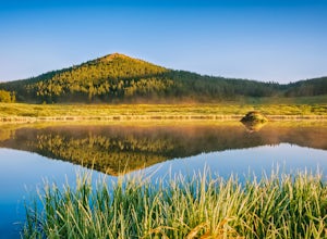
Backpack the Buffalo Peaks Wilderness Loop
5.011.7 mi / 2000 ft gainStarting at the Rich Creek Campground this wonderful moderate hike forms a loop by connecting the Rich Creek Trail and the Tumble Creek trail. in the Buffalo Peaks wilderness. Flanked by the Collegiate Peaks, in Spring and Summer the area is awash with rushing creeks, lush wet lowlands & deep...Read more -
Estes Park, Colorado
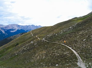
Mt. Ida via Milner Pass
5.09.28 mi / 2112 ft gainThe hike to Mt. Ida offers some of the most stunning views of Rocky Mountain National Park. How to get there: From the east, take Trail Ridge Road all the way to the west side of the park. You will pass Alpine Visitor Center and the road sharply turns south at Medicine Bow Curve. The trailhead...Read more -
Estes Park, Colorado
Backpack Alpine Terrain to Haynach Lakes
17 miBegin at the Milner Pass Trailhead off of Trail Ridge Road in Rocky Mountain National Park. Commonly used to summit Mount Ida, this trailhead is often popular with summer hikers. The trail climbs steeply through the trees before revealing open slopes of tundra and fantastic panoramic views. Altho...Read more

