Gateway, Colorado
Top Spots in and near Gateway
-
Moab, Utah
Bike the Ramblin' Trail
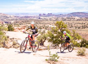
3.3 mi / 200 ft gainThe Ramblin' Trail, part of the Navajo Rocks trail system, is a beginner to intermediate mountain biking trail with a great mix of slickrock, dirt trails, and some sand that features excellent views of hoodoos, Navajo Sandstone, and the general Colorado River watershed redrock. Located off Utah H...Read more -
Palisade, Colorado
Hike Mt. Garfield in Palisade
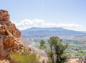
4 mi / 1940 ft gainThis hike is approx. 4 miles long and takes between 2.5-4 hours to complete depending on pace and stoppage time. This hike begins at the parking lot located at the base of the trail. Directions to Parking Lot: - Start at the Grand Junction Visitors Center, 740 Horizon Dr, Grand Junction, CO 8150...Read more -
Moab, Utah
Magnificent 7 Trail
22.12 mi / 2254 ft gainThe Mag 7 a relatively new mountain bike route in 2012 that parallels Gemini Bridge road where the trail begins. The trail consists of 4 sections, Bull Run, Arth's Corner, Little Cyn, Gold Bar and Gold Bar Rim. Everyone is talking about this route and it is all great. I have to agree. This will b...Read more -
Lone Mesa Group Gampground Road, Utah
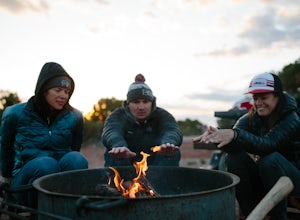
Camp at Lone Mesa Campground
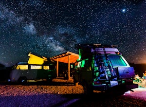
Lone Mesa Campground off Utah Highway 313, 8 miles from Highway 191, and 20 miles from Moab serves as an excellent basecamp for accessing the fantastic Navajo Rocks mountain bike trail system, Dead Horse State Park, and Canyonlands National Park. In fact, the Big Mesa trail goes right through the...Read more -
Moab, Utah
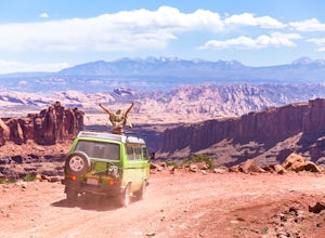
Drive Long Canyon Road
5.0Moab is an outdoor mecca, from rock climbing to mountain biking to 4WD adventures and while not particularly technical (it is only rated Class 2) the 7.8 mile Long Canyon Road just north of Dead Horse State Park is an excellent way to get a taste for the incredible features (and views) that the C...Read more -
Egnar, Colorado
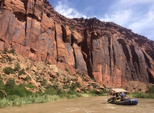
Raft the Dolores River
On years with enough moisture and runoff, kayakers, rafters, tubers and SUP-ers all take to the Dolores River. This section of water from Slick Rock to Bed Rock provides a two night, three day float through red canyon walls, meandering bends in the river, a a few notable side canyons. The water l...Read more -
Moab, Utah
Camp at Horsethief Campground
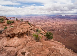
4.7Just 25 minutes from the town of Moab and even less from the Island in the Sky district of Canyonlands National Park and Dead Horse Point State Park (the lookout photo above is from this point), this location is pretty ideal. Great options for mountain biking (like the Intrepid Trails, Shafer Tra...Read more -
Thompson, Utah
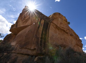
Photograph Sego Canyon Indian Rock Art
0.3 mi / 0 ft gainLocated north of Moab, off U.S. Route 70 is Sego Canyon. There is a dirt road that travels north up into the canyon to an interesting and unique area of Indian rock art. There are three different sections covering three different time periods and Indian groups. The petroglyph panel to the left ...Read more -
Fruita, Colorado
Mountain Bike the Book Cliffs
5.0Fruita is Colorado's mountain biking paradise. Right across the border from world-famous Moab, it's only slightly lesser known. People on the Front Range make monthly pilgrimages to this epic spot for desert camping and mountain biking. The area is especially popular in the spring and fall, when ...Read more -
Moab, Utah
Mountain Bike Moab's White Rim Trail
5.0100 miThis trip can be done with an outfit or independently. The outfit Escape Adventures is highly recommended. They send two guides - one drives a pickup behind with all the camping gear. If you don't have the money or interest, however, it is possible to simply use panniers or a backpack to carry ev...Read more -
Moab, Utah
Mountain Bike the Shafer Trail in Moab
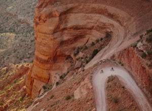
5.05 miThe best way to ride the Shafer Trail is to bring a support vehicle (one with 4WD and decently high clearance). If you're into a sufferfest, by all means climb your way out of there. You can also include it on a much, much longer ride like the White Rim Trail. But if you just want to experience t...Read more -
Moab, Utah
Backpack the Lathrop Canyon Trail in Canyonlands
18 mi / 2130 ft gainAccess to this trailhead is a few miles south of the Islands in the Sky Visitor Center in Canyonlands National Park. An easy drive from Moab or Interstate 70. Remember to get permits and check in with the rangers if camping. If just doing a day hike then no permits are needed. REMINDER: There is ...Read more -
Moab, Utah
Hike the Neck Spring Trail
5.8 mi / 260 ft gainWith minor changes in elevation, a couple easy scrambles and the opportunity to find your route by cairns, the Neck Spring Trail is the perfect way to get acquainted with Island in the Sky area of Canyonlands National Park.Starting at the Shafer Canyon Overlook parking lot, the Neck Spring trail ...Read more -
Monticello, Utah
Explore Needles Overlook
About 1.5 hours from Moab on BLM land, Needles Overlook sits on a peninsula of rock 1600 ft. above southern Canyonlands NP. The views from here are just as commanding as Island in the Sky in Canyonlands, but with a lot fewer people due to its isolated location; there's a good chance you'll have ...Read more

