Franktown, Colorado
Top Spots in and near Franktown
-
Colorado Springs, Colorado
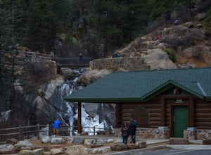
Helen Hunt Falls & Silver Cascades
4.00.65 mi / 272 ft gainPark at the log-cabin visitor's center on North Cheyenne Canyon Rd just before it turns into Gold Camp Rd. I definitely recommend arriving early, as the parking lot fills up quickly. Helen Hunt Falls is in sight of the parking area, and another 1/3 mile past that you'll run into Silver Cascades. ...Read more -
Colorado Springs, Colorado
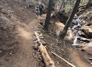
Hike to St. Mary's Falls
3.63.2 miFrom the parking area, follow the trail as it heads up towards the falls. The last mile, in particular, makes for a decent uphill challenge. This hike and waterfall are great for showing family and friends.Read more -
Florissant, Colorado
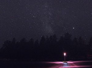
See the Stars at Florrisant Fossil Beds
While Florrisant is known mostly for its history and collection of fossils, it is also one of the darkest places in the Colorado Springs area. While the park closes daily at dusk, it has Night Sky Programs monthly which allows visitors to view the stars with the help of the Colorado Springs Astr...Read more -
Divide, Colorado
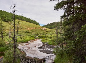
Hike to Horsethief Falls and Pancake Rocks
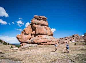
4.87.6 mi / 1400 ft gainHorsethief Falls and Pancake Rocks can be found on the west side of Pikes Peak, so if you want to get away from the crowds and the city, put this trail on your to do list.Most of the trail runs through the forest, which makes this an excellent candidate for hiking in July and August when the summ...Read more -
Divide, Colorado
Snowshoeing to Sentinel Point
8 miSentinel Point is an appropriately-named 12,527-foot rockpile standing watch over the broad shoulder of the Pikes Peak massif. Rarely visited, especially in winter, you are almost guaranteed solitude on this high mountain snowshoeing adventure.Beginning at the Horsethief Park trailhead off CO Ro...Read more -
Jefferson, Colorado
Trek through Granite Pillars on Bison Peak
12.4 mi / 4000 ft gainBison peak sits 2 hours from Denver in the mountains of the Lost Creek Wilderness. To reach the 12,431 ft. summit you'll start in low density ponderosa forest at 8,750 ft on crushed granite trail. Early starts are recommended in the summer months as the trail's high albedo can make for an extreme...Read more -
Boulder, Colorado
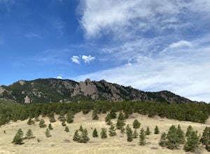
Hike the Flatirons Vista Loop Trail
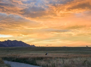
4.73.3 miFrom the parking lot, take South Flatiron Vista Trail for 2.4 miles, where you'll cross onto North Flatiron Vista Trail. In 1 mile, take the connector trail back to the trailhead. To shorten the loop to 2 miles, hike South Flatiron for just 1 mile to Prairie Vista Trail, which leads back to the c...Read more -
Idaho Springs, Colorado
Squaw Mountain Fire Lookout
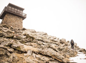
4.03.92 mi / 791 ft gainCome check out the Squaw Mountain Fire Lookout, a historic spot located in the Mount Evans Wilderness Area of Colorado, and one of the highest lookout towers in the country, at an elevation of 11,486 ft. Just a short drive from the Front Range corridor, you can hike/backpack in to this lookout ar...Read more -
Golden, Colorado
Hike the Mountain Lion Trail
6.7 mi / 1230 ft gainThere are three parking lots with direct access to the Mountain Lion Trail. The main one is off of Crawford Gulch Road, but any of them are good starting points! This loop has pretty similar elevation gain and loss profiles no matter which way you go, so you can go any direction. This adventure ...Read more -
Golden, Colorado
Hike Racoon Trail to Panorama Point
4.03.3 mi / 750 ft gainSummer is a magical time of year in the Rocky Mountains. One great way to experience this stunning beauty is through hiking Raccoon Trail to Panorama Point at Golden Gate State Park. Raccoon Trail is 3.3 mile moderately difficult hike which can be completed in under an hour, although it will like...Read more -
Idaho Springs, Colorado
Hike Chief Mountain, CO
4.54 mi / 1100 ft gainSitting at 11,709’, Chief Mountain is not one of Colorado’s highest peaks, but the views from this mountain are spectacular nonetheless and rival the views of any 14er I’ve climbed. This mountain sits along Squaw Pass Road so you get the luxury of a high trailhead for this peak.To get there, foll...Read more -
Manitou Springs, Colorado
Hike to Mt. Rosa
4.83.7 mi / 1322 ft gainTo get to the trailhead start on Old Stage Rd. After 11 miles turn right onto Forest Service Rd 379. This is a 4WD road. A small/large SUV, or truck should do the trick, nothing too crazy though. Drive on FS 379 for 1.5 miles until you come to an open field on the right known as Frosty Park. Ther...Read more -
Golden, Colorado
Hike to Forgotten Valley
4.33.6 mi / 852 ft gainThere are over 35 miles of hiking trails in the park. The twelve trails in Golden Gate Canyon State Park are named after an animal and marked with the animal’s footprint.For a 2.6 round trip hike, start at the Burro Trailhead in Golden Gate Canyon State Park. You’ll immediately cross over a lit...Read more -
Golden, Colorado
Summit Windy Peak via the Burro Trail
4.06.35 mi / 1825 ft gainThe Burro Trail starts at the Bridge Creek Trailhead Parking Lot and leads off to the left. While this trail is incredibly well marked it wouldn't hurt to grab a map at the visitors center before you start! From the parking lot you'll travel along the trail for 0.7 miles until you reach your firs...Read more -
Colorado Springs, Colorado
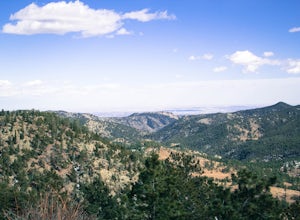
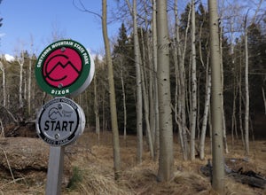
Hike Cheyenne Mountain
16 mi / 3400 ft gainThis trail starts out of Limekiln Trailhead in Cheyenne Mountain State Park. This is a large, obvious trailhead with bathrooms and water. From the trailhead follow the Talon trails on flatter terrain for the first 3 or so miles until it starts to steepen and turns to Dixon trail. These first few ...Read more -
Boulder, Colorado
Doudy Draw Trail
4.37 mi / 433 ft gainDoudy Draw Trail is an out-and-back trail where you may see beautiful wildflowers located near Boulder, Colorado.Read more

