Fort Collins, Colorado
Looking for the best photography in Fort Collins? We've got you covered with the top trails, trips, hiking, backpacking, camping and more around Fort Collins. The detailed guides, photos, and reviews are all submitted by the Outbound community.
Top Photography Spots in and near Fort Collins
-
Estes Park, Colorado
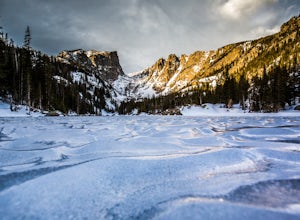
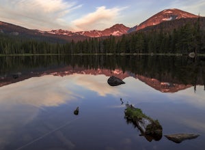
Catch a Sunrise at Dream Lake
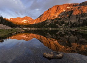
4.92.2 mi / 402 ft gainBegin at the Bear Lake Trailhead, located at the end of Bear Lake Road, 9 miles from the entrance on Highway 36. Follow the signs to Dream Lake, passing Nymph Lake about halfway through. At 1.1 miles you will reach Dream Lake. The views of 12,713-foot Hallett Peak and 12,324-foot Flattop Mountain...Read more -
Estes Park, Colorado
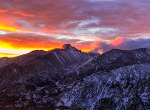
Winter Hike Flattop Mountain
4.88.6 mi / 2850 ft gainTo catch the sunrise, begin at the Bear Lake trailhead in Rocky Mountain National Park. From the trailhead, veer right around bear lake and continue along the Odessa Lake/Flattop Mountain trail. This will begin to ascend on your right.After approximately 1 mile, the Flattop Mountain Trail will sp...Read more -
Estes Park, Colorado
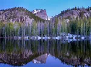
Nymph Lake via Bear Lake Trailhead
4.81.13 mi / 245 ft gainWhile not as popular as Dream Lake, Nymph Lake is just as beautiful. The hike to Nymph Lake is an easy hike just over 1 mile. You start from the Bear Lake Trail head and can go further on to Dream Lake and Emerald Lake if you want to. Both Dream and Emerald Lakes are also stunning and very photog...Read more -
Estes Park, Colorado
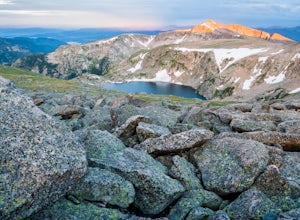
Ptarmigan Lake via Bear Lake Trailhead
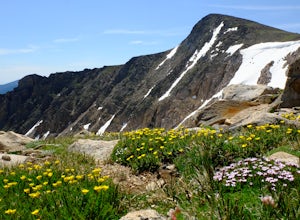
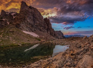
11.33 mi / 3850 ft gainThe hike to Ptarmigan Lake has plenty of elevation gain for mountain lovers and views for miles from the Continental Divide. If you want to reach this spot for sunrise you'll need a very early start in the morning, but that also means you won't have to use the shuttle system to Bear Lake. The las...Read more -
Estes Park, Colorado
Flattop Mountain and Hallett Peak
4.49.73 mi / 3240 ft gainArrive at the Bear Lake Trailhead. Follow abundant signage toward Flattop Peak. Once you arrive at the summit of Flattop identify the unnamed unmaintained trail leading south toward Hallett Peak. Round the head of Tyndall Gorge and ascend the rocky slopes toward the summit by connecting short use...Read more -
Estes Park, Colorado
Climb Notchtop Mountain in Rocky Mountain National Park
5.03.5 mi / 1550 ft gainPark at Bear Lake, and follow the signs north of the lake to Odessa Lake. However, do NOT go all the way to Odessa Lake; after about 3 miles, when Notchtop is in full view, the trail begins to descend to Odessa Lake. Find an unmarked spur trail to the left which leads to shallow Lake Helene, then...Read more -
Larimer County, Colorado
Lake Haiyaha
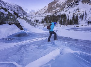
5.03.64 mi / 800 ft gainBegin the hike at the Bear Lake trailhead, this will be the same for any season you chose to hike to the lake. From the Bear Lake trailhead follow the Dream Lake trail for ~1.05 miles to just before Dream Lake itself. The trail is very easy to follow up to this point in all seasons. In winter the...Read more -
Allenspark, Colorado
Hike to Pear Lake
5.013 mi / 2112 ft gainPear lake is a beautiful alpine lake in the southern Wild Basin region of Rocky Mountain National Park. Once used as a reservoir, Pear Lake has been restored to its natural state and lies in scenic basin below some of the most isolated mountains in the park. The trail to Pear Lake passes through ...Read more -
Allenspark, Colorado
Hike to Finch Lake
3.08.96 miThere are several ways to reach finch lake but this will cover the route from the Finch Lake Trailhead in the wild basin area of Rocky Mountain National Park. You can also loop it with other trails in the area or begin at the Allenspark Trailhead, which is technically outside the park and a bit e...Read more -
Allenspark, Colorado
Ouzel & Ogallala Peaks
17.18 mi / 4403 ft gainBegin at the Wild Basin Trailhead in southeastern Rocky Mountain National Park near the town of Allenspark. Plan to start before sunrise if attempting this trek as a day trip in order to avoid afternoon thunderstorms above the treeline. This trip can easily be made into a backpacking experience b...Read more -
Allenspark, Colorado
Backpack to Bluebird Lake
4.314 mi / 2500 ft gainStarting at the Wild Basin trailhead on the south side of Rocky Mountain National Park, hike through a wet forest towards upper and lower Copeland Falls, located 0.45 miles from the trailhead. From here, continue on the main trail along the North Fork of the Saint Vrain River to Calypso Cascades,...Read more -
Allenspark, Colorado
Hike to Thunder Lake
12 mi / 2275 ft gainStarting at the often-busy Wild Basin TH, the trail passes through dense forests as it follows the North Fork of the Saint Vrain River through the southernmost section of Rocky Mountain National Park. The trail passes alongside the small Copeland Falls before continuing west towards Calypso Casca...Read more -
Estes Park, Colorado
Photograph the Night Sky Over Trail Ridge Road
4.0The highest continuous paved road in North America, Trail Ridge Road takes you above 12,000 ft to an alpine tundra. Being above treeline means you have unclogged panoramic views of the night sky and any possible meteors. You can start your trip from Grand Lake in the west or Estes Park in the ea...Read more -
Estes Park, Colorado
Watch the Sunset at Forest Canyon Overlook
5.00.2 mi / 32 ft gainTrail Ridge Road is an incredible highway that crosses the mountains between Grand Lake and Estes Park, one of the most famous parts of Rocky Mountain National Park. It features incredible views of the Rockies and the Front Range, as well as the unforgettable experience of being immersed in the t...Read more -
Estes Park, Colorado
Backpack the Gorge Lakes
11.5 mi / 3200 ft gainStart at the Rock Cut Parking Area. Head east on Trail Ridge Road 0.25 miles to a more gradual and bald western slope leading down into Forest Canyon. This bald is located between two creeks which merge before joining the Big Thompson River (a small creek in mid September). Use the creeks to navi...Read more -
Lyons, Colorado
Hike Meadow Mountain
4.07.7 mi / 2832 ft gainFrom the trailhead, follow the trail through the woods until you reach a meadow with a steep slope. Some portions of this slope reach an angle of 30 degrees and may feature slight avalanche danger in the winter. However, the trail is used enough that such conditions would make themselves known ...Read more

