Fairplay, Colorado
Top Spots in and near Fairplay
-
Leadville, Colorado
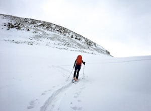
Backcountry Ski at Fremont Pass
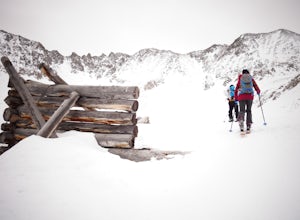
Starting at 11,319 feet of elevation, you can choose which direction to head into the backcountry. Park at the pull-off area at the bend in the road. From here, you can head into the woods to the right (there are usually tracks from other skiers to follow) or follow Trail Rd. to reach some peaks ...Read more -
Fairplay, Colorado
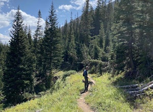
French Pass Trail
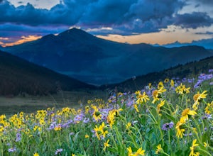
5.06.87 mi / 1736 ft gainFrench Pass Trail is an out-and-back trail where you may see beautiful wildflowers located near Jefferson, Colorado.Read more -
Breckenridge, Colorado
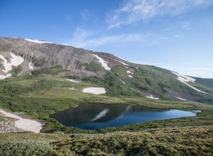
Spruce Creek Loop
4.29 mi / 1001 ft gainSpruce Creek Loop is a loop trail that takes you by a lake located near Breckenridge, Colorado.Read more -
Breckenridge, Colorado
Lower Crystal Lake via Crystal Creek Road
5.04.52 mi / 1624 ft gainTo get to the Crystal Lakes start at the Spruce Creek Trailhead. You can hike or drive to the Lower Crystal Lake along Crystal Creek Road. If you choose to drive, you will need a high clearance 4x4 vehicle as you follow along Crystal Creek Road. The road is steep, but when they get to the top it ...Read more -
Breckenridge, Colorado
Hike to & Stay at Francie's Cabin
5.01.09 mi / 1000 ft gainLocated at 11,360' and owned by the 10th Mountain Division Hut Association, Francies Cabin was built in memory of Frances Lockwood Bailey in 1994 and is located just a short distance (5 mile drive, 1.05 mile hike) from town of Breckenridge, Colorado. It has a summer and winter capacity of 20 peop...Read more -
Breckenridge, Colorado
Backpack & Fish The Mohawk Lakes
4.06.8 mi / 1940 ft gainThe trailhead is located a few miles out side of Breckenridge Colorado. The trail starts at 10,390' and the first two miles are spent walking through a mix of fir, aspen, and spruce trees until the trail goes parallel to Spruce Creek Road and eventually crosses it and continues over a small dam (...Read more -
Breckenridge, Colorado
Day Hike to Lower & Upper Mohawk Lakes
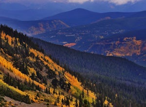
4.67 mi / 1800 ft gainI recently spent the weekend in Breckenridge, and not being from the area, there was one hike that was on my bucket list: Mohawk Lakes. It didn’t disappoint! In late September, the Breckenridge area is full of gorgeous golden aspen trees, providing spectacular long-range views. In summer, abundan...Read more -
Leadville, Colorado
Ski or Snowshoe to the Weston Pass Hut
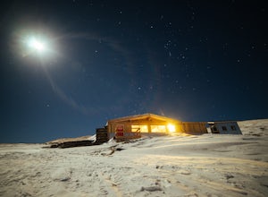
5.013.4 mi / 2400 ft gainYour trip starts at the winter trailhead for Weston Pass, approximately 6.7 miles from the hut. Depending on road conditions, you may be able to cut off a few miles by driving further up the road.In the summer, you can drive all the way to the hut, and enjoy a great basecamp for hiking and trail ...Read more -
Summit County, Colorado
Hike to Crystal Peak
5.08.6 mi / 2482 ft gainOnce you turn off of Colorado hwy 9 onto dirt, your GPS will lead you to a gravel lot. At the end of that lot there's a pretty steep gravel road that heads NNW (GPS coords: 39°25'43.01"N 106° 4'11.30"W | Map Link if you want to plug that into your GPS for parking). From this lot you'll walk up t...Read more -
Breckenridge, Colorado
Mount Guyot Snow Climb
5 mi / 2500 ft gainFrom Jefferson follow 35 north to 54 and drive up 54 as far as possible ending a few miles before Georgia pass. Depending on the snowpack and drifts on the unplowed road, you could hike as few as 5 miles round trip or as many as 10. If the snow blocks you from driving past Michigan Creek Campgro...Read more -
Leadville, Colorado
Overnight at the Emma and Marceline Yurts, Leadville
11 mi / 1200 ft gainDrive past the main downtown of Leadville and then head into the mountains south of town, following Mt. Sherman Road to the Yurt parking along a ridge before you come to the Black Cloud Mine. There are signs that say "Yurt Parking". Follow the road a little further down to a jeep road just before...Read more -
Breckenridge, Colorado
Ski or Snowshoe to Section House Hut
5.06.25 mi / 1200 ft gainThere are a couple routes to Section Hut on Boreas Pass, but the best adds trekking through the forest on Baker's Tank trail. Starting at 10,350' at the TH, look for a trail in the woods that starts climbing relatively quickly. Follow this for about 2.5 miles to the junction with the road and B...Read more -
Breckenridge, Colorado
Hike Baker's Tank Loop
3.86 mi / 645 ft gainWhen the aspens are sporting their golden hues of autumn, Baker's Tank Loop is a perfect fall hike. The trailhead is about ten minutes from downtown Breckenridge. For part of the hike, you may have the world to yourself. But, for the road portion, you'll likely have to share with the leaf peep...Read more -
Frisco, Colorado
Hike to Mayflower Gulch
4.74 mi / 1000 ft gainGetting to the Mayflower Gulch is pretty easy, you can either hike an easy 2 mile forest road or drive all the way to end (you need decent clearance for the drive). At the end of the hike you are greeted with a stunning view of the Old Boston mining site. During the summer, wildflowers are abunda...Read more -
Frisco, Colorado
Snowshoe the Mayflower Gulch
4.74 mi / 1000 ft gainTo begin, park in the large parking lot (it is usually plowed all winter except right after a large storm). The parking lot can be reached via highway 91, approximately 6 miles south of Copper Mountain and will be on the east (left if coming from the north) side of the road. Begin up the obvious ...Read more -
Frisco, Colorado
Backcountry Ski or Snowboard at Mayflower Gulch
If you were driving down highway 91 towards Leadville and blinked at just the right moment, you'd drive right past this hidden gem of an area. Located just over 6 miles South of Copper Mountain ski resort on the East side of highway 91, the parking lot for the Mayflower Gulch trail head offers pl...Read more

