Eldora, Colorado
Looking for the best photography in Eldora? We've got you covered with the top trails, trips, hiking, backpacking, camping and more around Eldora. The detailed guides, photos, and reviews are all submitted by the Outbound community.
Top Photography Spots in and near Eldora
-
Loveland, Colorado
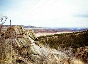
Hike the Powerline Trail in the Bobcat Ridge Natural Area
3.8 mi / 1100 ft gainPowerline Trail is a 1.9 mile spur off the Valley Loop Trail in the Bobcat Ridge Natural Area that climbs 1,100 feet from the valley floor to Mahoney Park.To get to the start of the trail, take the Valley Loop Trail .9 miles in the Bobcat Ridge Natural Area from the main entrance of the Natural A...Read more -
Breckenridge, Colorado
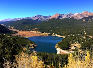
Hike Baker's Tank Loop
3.86 mi / 645 ft gainWhen the aspens are sporting their golden hues of autumn, Baker's Tank Loop is a perfect fall hike. The trailhead is about ten minutes from downtown Breckenridge. For part of the hike, you may have the world to yourself. But, for the road portion, you'll likely have to share with the leaf peep...Read more -
Breckenridge, Colorado
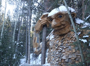
Breckenridge Troll
5.00.2 mi / 26 ft gainIsak Heartstone, otherwise known as the Breckenridge troll, can be accessed from the Illinois Gulch Trailhead. This trailhead can be full for much of the day, so it is advisable to find parking in town and then take a bus, walk, or bike to the starting point of this short walk. Once at the trai...Read more -
Kremmling, Colorado
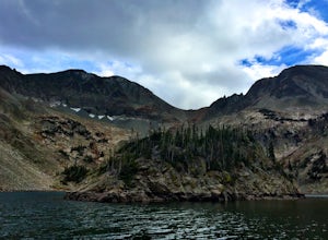
Hike to Lake Agnes
3.01.6 miIn State Forest State Park, you start at Agnes Cabin, a historic cabin built in 1925. Because of its rustic architecture, it is listed on the National Register of Historic Places by the United States Department of the Interior. It is a one-story, lodge pole pine log cabin. The cabin is empty, bu...Read more -
Walden, Colorado
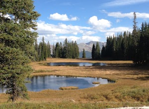
Hike to American Lakes
5.011 mi / 1680 ft gainAmerican Lakes are two high alpine lakes located within State Forest State Park and the Never Summer Mountain Range. The park is located about 75 miles west of Fort Collins, Colo. along Highway 14 on the west side of Cameron Pass.Coming down from Cameron Pass, look for a sign for the American Lak...Read more -
Walden, Colorado
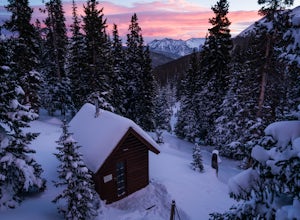
Overnight at Nokhu Hut
5.03 mi / 540 ft gainThe Nokhu Hut is part of the Never Summer Nordic Hut system, and makes for the perfect beginner Hut trip. The Hut has a stocked kitchen, wood shed, and small wood burning stove that keeps the tiny hut toasty warm.From the Hut, it is a short, easy hike to Lake Agnes - the trail often stays snowy u...Read more -
Breckenridge, Colorado
Camp at Boreas Pass
9 mi / 1500 ft gainBoreas pass is a high mountain pass in the Rocky Mountains that sits on the Continental Divide at 11,481'. Forest Service Road 33 goes over the pass and has numerous campsites all along its length, with several near the summit that feature breathtaking views of the Tenmile Range and the Breckenri...Read more -
Breckenridge, Colorado
MTB Boreas Pass
Boreas Pass is a scenic route that lies between Como (north of Fairplay on Hwy 285) and Breckenridge. It is 21 miles of low maintenance, rough gravel road that follows the Continental Divide and summits at 11,481 feet. Other than the altitude, the ride is not difficult, as the grade is not steep ...Read more -
Walden, Colorado
Cross-Country Ski to American Lakes
4.012 mi / 800 ft gainWARNING! AVALANCHE DANGER!Make sure you have avalanche safety knowledge and equipment. This route enters avalanche terrain.If you are looking for one of the ultimate cross-country ski treks along the northern Front Range, look no further. This trip takes you to the American Lakes at the base of t...Read more -
Walden, Colorado
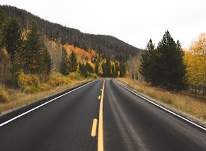
View Fall Color on Cameron Pass
From the front range, drive west of Fort Collins, Colo. on Highway 14 towards Walden, Colo. When you enter Highway 14 from Fort Collins, look for Ted's Place. Ted's is a gas station and convenient store, stop here to hit the bathroom, fill up on gas, and grab some snacks. There will be very few f...Read more -
Frisco, Colorado
Backpack to the Gore Range's Wheeler and Lost Lakes
4.510 mi / 2200 ft gainThe range offers many remote lakes and peaks which hikers can access from various points of entry. Wheeler and Lost Lakes lie within the boundaries of the Eagle's Nest Wilderness Area.The Gore Trail begins on the north side of the CO-91 pedestrian bridge over I-70. You will follow the trail up al...Read more -
Frisco, Colorado
Ski to Janet's Cabin
6 mi / 1900 ft gainJanet's Cabin is located on the eastern slope of the Continental Divide at 11,610 ft, near Copper Mountain ski resort. This hut is one of the rare huts with not only a sauna but indoor bathrooms (composting pits)! The cabin was built in 1990 and due to the location helicopters were required to b...Read more -
Fort Collins, Colorado
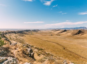
Hike the Coyote Ridge Trail
1.03 mi / 550 ft gainThe Coyote Ridge Natural Area is one of several Larimer County "gateway" preserves and Open Lands that lead into the Front Range of the Rocky Mountains, connecting the shrublands of the Great Plains to the Rocky Mountain themselves through a network of trails, parks, and preserves. The Coyote Rid...Read more -
Breckenridge, Colorado
Day Hike to Lower & Upper Mohawk Lakes
4.67 mi / 1800 ft gainI recently spent the weekend in Breckenridge, and not being from the area, there was one hike that was on my bucket list: Mohawk Lakes. It didn’t disappoint! In late September, the Breckenridge area is full of gorgeous golden aspen trees, providing spectacular long-range views. In summer, abundan...Read more -
Breckenridge, Colorado
Backpack & Fish The Mohawk Lakes
4.06.8 mi / 1940 ft gainThe trailhead is located a few miles out side of Breckenridge Colorado. The trail starts at 10,390' and the first two miles are spent walking through a mix of fir, aspen, and spruce trees until the trail goes parallel to Spruce Creek Road and eventually crosses it and continues over a small dam (...Read more -
Breckenridge, Colorado
Lower Crystal Lake via Crystal Creek Road
5.04.52 mi / 1624 ft gainTo get to the Crystal Lakes start at the Spruce Creek Trailhead. You can hike or drive to the Lower Crystal Lake along Crystal Creek Road. If you choose to drive, you will need a high clearance 4x4 vehicle as you follow along Crystal Creek Road. The road is steep, but when they get to the top it ...Read more

