Edwards, Colorado
Looking for the best hiking in Edwards? We've got you covered with the top trails, trips, hiking, backpacking, camping and more around Edwards. The detailed guides, photos, and reviews are all submitted by the Outbound community.
Top Hiking Spots in and near Edwards
-
Aspen, Colorado
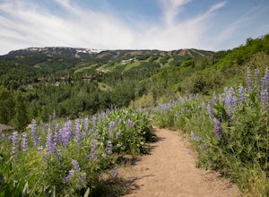
Hike to Spiral Point (Yin Yang), Snowmass
5.01.3 mi / 284 ft gainSnowmass Village is located 15 - 20 minutes west of Aspen Colorado off state highway 82. Once in Snowmass Village, take Brush Creek road almost to the top of the hill until the road splits with Divide road (If you have made it to the Snowmass Village mall, you have missed the road and must turn b...Read more -
Kremmling, Colorado
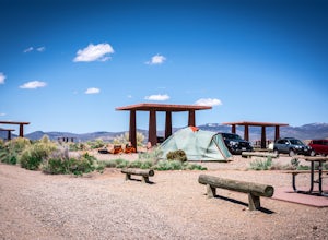
Camp at Wolford Mountain Reservoir
If a nice relaxing adventure is what you seek, this is the place for you. There aren't a lot of super scenic, adrenaline pumping hikes at this campground, but there are well established campsites with beautiful sunrise and sunset views. If you're a photographer, the midnight sky on a moonless nig...Read more -
Pitkin County, Colorado
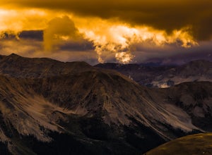
Sunset Hike to Twining Peak
4 mi / 1700 ft gainTwining Peak is a ranked 13er located 2 miles north of Independence Pass. The hike involves around 1700 feet of elevation and is mostly off-trail with some class 2 scrambling (class 3 can be had if you look hard enough). Independence Pass is a prominent and popular pass on Highway 82 between Twin...Read more -
Aspen, Colorado
Hike Lost Man Loop
5.08.8 mi / 1290 ft gainThis 8.8 mile "loop" is not a true loop and the trail ends 4 miles apart along Independence Pass, so a car shuttle is recommended. I would recommend starting at the west trailhead (closer to Aspen) but will describe both trailheads so you can set up another car or shuttle at the other one.1) West...Read more -
Aspen, Colorado
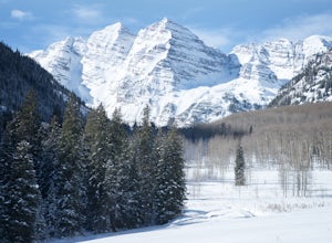
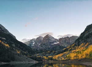
Ski or Snowshoe to the Maroon Bells
5.012 mi / 1000 ft gainFrom Aspen drive down Maroon Creek Road until it comes to its winter closure located by T Lazy 7 Ranch. The Ranch offers snowmobile tours and keeps the six mile snow covered road to the Bells groomed. Most popular with cross country skiers, the snow road can also be hiked, fat biked, and skinned....Read more -
Carbondale, Colorado
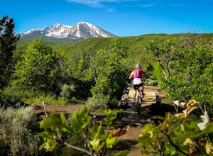
Mountain Bike Prince Creek
Turn south off Colorado State Highway 82 onto Highway 133 toward Carbondale. Continue south past the Carbondale Main Street roundabout. After two miles, turn East onto Prince Creek Road. Follow this four miles to where the pavement ends. This is the best place to park to start biking or running.F...Read more -
Aspen, Colorado
Grottos Trail
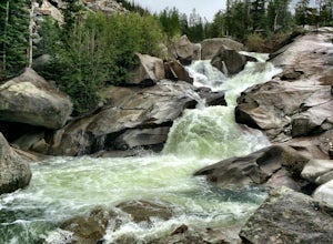
5.00.53 mi / 72 ft gainJust nine miles east of Aspen on Highway 82, Independence Pass, are grottos. A grotto is a geological term for a cave or cavern. The Grottos near Aspen were formed by rushing water of the Roaring Fork River. There is only an elevation gain of 300 feet on the three-quarters of a mile loop making...Read more -
Basalt, Colorado
Hike Hay Park
Head south out of Carbondale on Highway 133. Two miles from the Main Street roundabout, take a left on Prince Creek Road. Follow this road up to Dinkle Divide and follow the signs to Dinkle Lake. Continue up the road until you see a large, fenced in parking area with a toilet on the left. This is...Read more -
Basalt, Colorado
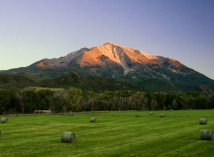
Camp at Thomas Lake and Summit Mt. Sopris
5.013 mi / 4400 ft gainWith the Elk Mountain range behind it, It appears to be standing by itself, and has the resemblance of a grand volcano.From Hwy 133 out of Carbondale, turn down Prince Creek Road and drive 6 miles to the trailhead. The trail is a nice mixture of meadows and woods, with excellent views of the vall...Read more -
Aspen, Colorado
Camp at Silver Bell Campground
Escape the bustle of town and head out of Aspen on Maroon Creek Road. Follow the signs to Maroon-Bells Snowmass Wilderness Area. There is a $10 entrance fee (unless you are a national parks pass cardholder) plus an additional fee to camp. Continue down the road to Silver Bell Campground. With a t...Read more -
Carbondale, Colorado
Trail Run Mushroom Rock and Red Hill
5.03 miMushroom Rock sits high above Colorado Highway 82 overlooking the town of Carbondale. With huge views up the Crystal and Roaring Fork River Valleys, terrain that inspires more desert-Utah than Rocky-Mountain-Colorado, this recreation area feels like a getaway even when it is minutes from Main Str...Read more -
Aspen, Colorado
Weller Lake Trail
4.01.17 mi / 312 ft gainWeller Lake Trail is an out-and-back trail that takes you by a lake located near Aspen, Colorado.Read more -
Breckenridge, Colorado
Camp at Boreas Pass
9 mi / 1500 ft gainBoreas pass is a high mountain pass in the Rocky Mountains that sits on the Continental Divide at 11,481'. Forest Service Road 33 goes over the pass and has numerous campsites all along its length, with several near the summit that feature breathtaking views of the Tenmile Range and the Breckenri...Read more -
Independence, Ohio
Hike Mountain Boy Ridge from the Top of Independence Pass
5.06 miThe trailhead is to the Independence Pass viewing deck is located at the Summit parking area, which is about 20 miles from Aspen and 24 miles west of Highway 24 on the Leadville side. At the parking area you will notice a paved walkway that takes you to the viewdeck, which is a easy five minute w...Read more -
Independence, Ohio
Hike Lost Man Pass via Independence Lake
5.04.5 mi / 1200 ft gainPark at the pull out just west of independence pass. From there, begin on the Linkin's Lake Trail. The trail is generally easy to follow (although it can be muddy as it is a wet area) and climbs 900 feet in the 1.8 miles to independence lake. From Independence lake it is about 0.5 miles and 400 f...Read more -
Leadville, Colorado
Ski or Snowshoe to the Weston Pass Hut
5.013.4 mi / 2400 ft gainYour trip starts at the winter trailhead for Weston Pass, approximately 6.7 miles from the hut. Depending on road conditions, you may be able to cut off a few miles by driving further up the road.In the summer, you can drive all the way to the hut, and enjoy a great basecamp for hiking and trail ...Read more

