Dolores, Colorado
Looking for the best hiking in Dolores? We've got you covered with the top trails, trips, hiking, backpacking, camping and more around Dolores. The detailed guides, photos, and reviews are all submitted by the Outbound community.
Top Hiking Spots in and near Dolores
-
Durango, Colorado
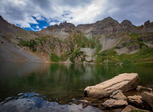
Explore Clear Lake
5.0The road to Clear Lake offers wonderful views of the South Fork Mineral Creek, and the San Juan Mountains. Some people make the 9-mile round-trip hike with 2,600 feet of elevation gain, others drive as far as their vehicle will allow and hike from there, and some make the drive all the way up. It...Read more -
Durango, Colorado
Crater Lake via Crater Lake Trail
5.011.73 mi / 2077 ft gainReaching this trailhead actually begins off of Andrews Lake - you will see signs for Andrews Lake off HWY 550. I will provide directions from both Durango and Silverton at the end. The trailhead is extremely well marked the entire way. The mileage from Andrews lake to Crater lake one way is 5.5...Read more -
Durango, Colorado
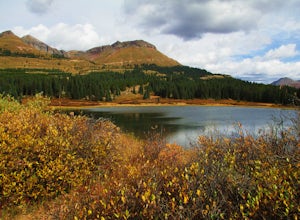
Camp at Little Molas Lake
5.01 mi / 40 ft gainLittle Molas Lake Campground is about 1 mile off of US Highway 550 on Molas Pass just North of and on the other side of the highway from the Molas Overlook. Pro-tip: there is also another campground nearby called Molas Lake Park & Campground, so it's important to distinguish which you are hea...Read more -
Durango, Colorado
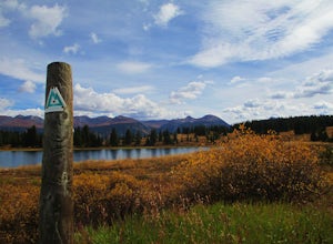
Hike the Colorado Trail: Little Molas Lake to Lime Creek
5.010 mi / 755 ft gainTo hike this section of the Colorado Trail, you'll begin from the Little Molas Lake Campground at around 10,895-ft. Little Molas Lake Campground is about 1 mile off of US Highway 550 on Molas Pass just North of and on the other side of the highway from the Molas Overlook, which is just South of S...Read more -
Telluride, Colorado
Hike to Bear Creek Falls in Telluride
5.05 mi / 1000 ft gainThe trail begins at the south end of Pine Street in Telluride, and proceeds 2.5 miles up the Bear Creek Canyon trail with an elevation gain of about 1,000'.Be sure to stay to the left at the divide with the Wasatch Trail.At the waterfall there is a small use trail that contours up to the right an...Read more -
Telluride, Colorado
Hike to Cornet Creek Falls
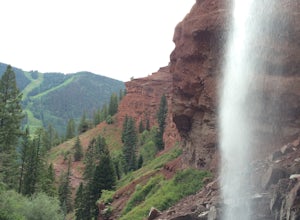
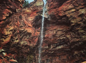
4.0Only 5 minutes from the center of Telluride, Cornet Creek Falls is the perfect hike for those seeking a serene mountain escape without having to go far away from the center of all the action.From town, head up North Aspen Street towards the Jud Wiebe Trailhead. Once arrived, continue straight up ...Read more -
Telluride, Colorado
Hike the Jud Wiebe Trail
5.03.1 mi / 1300 ft gainThe Jud Wiebe can be accessed from two trailheads: 1) The top of North Aspen St (opposite direction of the Gondola) and across the bridge on the left (where this adventure starts) 2) North Oak St - hike up Tomboy Road and head to the left at the sign for the Jud Wiebe trail Street parking is ava...Read more -
Ophir, Colorado
Ophir Pass Road
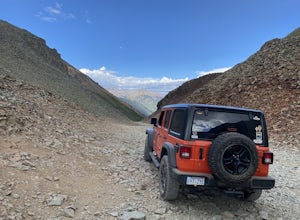
5.09.93 mi / 1696 ft gainOphir Pass Road is a point-to-point trail where you may see beautiful wildflowers located near Ophir, Colorado.Read more

