Crawford, Colorado
Top Spots in and near Crawford
-
Telluride, Colorado
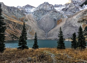
Blue Lakes Trail
5.08.81 mi / 2635 ft gainYour adventure begins at the Blue Lakes Trailhead, elevation 9400’, in Uncompahgre National Forest. Take CO-62 from Ridgway toward Telluride, turn left onto Ouray County Road 7, and follow it into the national forest to the end of the road. Just past the trailhead, the trail splits; be sure to ...Read more -
Ridgway, Colorado
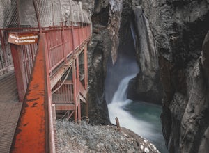
Box Canyon Falls
5.00.57 mi / 243 ft gainBox Canyon Falls is located on the outskirts of Ouray, Colorado less than five minutes from downtown. The nearly 300 foot waterfall crashes through the canyon down to the town's hot springs. The park also features a bridge overlooking the waterfall, river, and the town of Ouray. To get to Box Ca...Read more -
Ridgway, Colorado
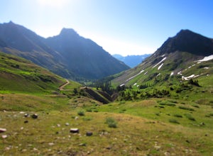
Explore Yankee Boy Basin and the San Juan Mountains
5.0While its nickname "The Switzerland of America" may have been invented by some overzealous marketers, Ouray, Colorado and the surrounding San Juan Mountains is a destination you won't want to skip. Expansive green valleys blanketed with wildflowers, distant snowcapped peaks, and hidden lakes will...Read more -
Ridgway, Colorado
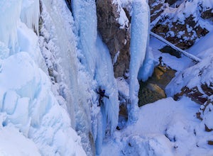
Ice Climb the Ouray Ice Park
5.0Over a mile of the Uncompahgre Gorge is farmed for ice every year and they have gotten very good at it!! The ice park begins at the southern edge of town and continues south through the gorge for approximately 1 mile. The ice park is typically open from mid December-late March.If you enjoy gettin...Read more -
Lake City, Colorado
Explore Nellie Creek Falls
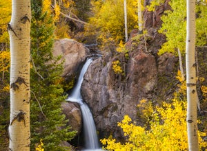
5.00.8 mi / 300 ft gainNellie Creek Falls is a beautiful little falls, up County Road 23. The waterfall is surrounded by a forest of aspens leading up the valley. To get to the falls take the northern route of the Alpine Loop from Lake City towards Engineer Pass. In about 5 miles you come to Nellie Creek Road on the ri...Read more -
Aspen, Colorado
Camp at Silver Queen Campground
To start it off, head out from Aspen on Maroon Creek Road. Once you get to the park, you will either have to pay the charge at the booth or if you get there after 5pm, you can self pay at the cash box, which is $10. You'll also want to get an overnight parking pass set up which doesn't cost extra...Read more -
Aspen, Colorado
Castle Peak and Conundrum Peak
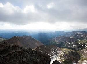
5.012.71 mi / 5125 ft gainThere are many different places to start the trek up to Castle and Conundrum. The first step, however, is always go to the end of Castle Creek Road just outside of Aspen, CO. When the paved road ends, there is parking available right off the road for those who don't wish to drive further. Howe...Read more -
Basalt, Colorado
Camp at Thomas Lake and Summit Mt. Sopris
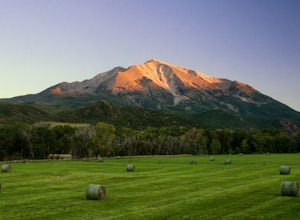
5.013 mi / 4400 ft gainWith the Elk Mountain range behind it, It appears to be standing by itself, and has the resemblance of a grand volcano.From Hwy 133 out of Carbondale, turn down Prince Creek Road and drive 6 miles to the trailhead. The trail is a nice mixture of meadows and woods, with excellent views of the vall...Read more -
Basalt, Colorado
Hike Hay Park
Head south out of Carbondale on Highway 133. Two miles from the Main Street roundabout, take a left on Prince Creek Road. Follow this road up to Dinkle Divide and follow the signs to Dinkle Lake. Continue up the road until you see a large, fenced in parking area with a toilet on the left. This is...Read more -
Aspen, Colorado
Backpack Cathedral Lake
4.75.6 mi / 2000 ft gainCathedral Lake offers an excellent alternative to escape the crowds that swarm the Maroon Bells area, especially in the peak autumn season. The drive along Castle Creek Rd towards the abandoned ski town Ashcroft is lined with aspens showing off their golden hues. Parking at the trailhead is plent...Read more -
Aspen, Colorado
Hike to Spiral Point (Yin Yang), Snowmass
5.01.3 mi / 284 ft gainSnowmass Village is located 15 - 20 minutes west of Aspen Colorado off state highway 82. Once in Snowmass Village, take Brush Creek road almost to the top of the hill until the road splits with Divide road (If you have made it to the Snowmass Village mall, you have missed the road and must turn b...Read more -
Lake City, Colorado
Capture Fall Foliage and Whitmore Falls on Engineer Pass
5.0Just outside of the small community of Lake City, Colorado is Engineer Pass, a dirt road that has amazing views and opportunities to hike, take pictures, and maybe even explore an abandoned mining town. Four wheel drive or all wheel drive is preferable, but the road can definitely be driven by a ...Read more -
Ouray, Colorado
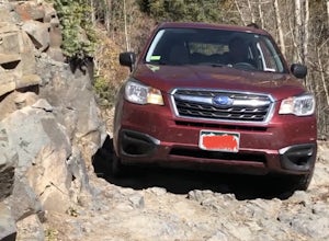
Mineral Creek OHV Trail
14.04 mi / 3307 ft gainMineral Creek OHV Trail is an out-and-back trail that takes you by a waterfall located near Ouray, Colorado.Read more -
Aspen, Colorado
Conundrum Hot Springs via Conundrum Creek
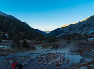
4.316.77 mi / 2717 ft gainAfter picking up your required overnight permit, start your morning with a coffee in Aspen, then drive out 15 min to the trailhead at the end of Conundrum Creek road. The trail is a straight shot 9 miles up the valley, through expansive meadows and an always incredible view of the mountains and ...Read more -
Aspen, Colorado
Ski or Snowboard the Burnt Mountain Glades of Snowmass
5.03.5 miThis is part of the Aspen Snowmass Ski area so you'll have to buy a ski pass to take the lift up, or if you're up for a bigger workout, put some skins on and trek up to the top of Elk Camp. The easiest way to get there is to take the Elk Camp gondola to the Elk Camp lift. Once at the top of the l...Read more -
Aspen, Colorado
Ski the Rocky Mountain High Trail at Snowmass
This is part of the Aspen Snowmass ski area so you'll have to buy a ski pass to take the lift up. The easiest way to get there is to take the Village Express lift to the top and once you get off turn left. You'll ski down the "blue" trail, Max Park, to Trestle and end at the Sheer Bliss lift. Tak...Read more

