Colorado Springs, Colorado
Top Spots in and near Colorado Springs
-
Cascade, Colorado
4.7
3.8 mi
/ 1949 ft gain
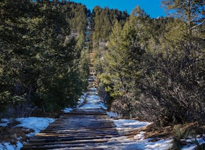
If you're ready for a fitness challenge like no other, look no further than the Manitou Incline. The trail climbs the remnants of an old cog railway bed, gaining 2000 feet of elevation in less than a mile. Busy all year round, the popular trail is used by everyone from Army Rangers and Olympic ho...
Read more
-
Cascade, Colorado
Barr Trail is a 12 mile hike that travels the east face of Pikes Peak, from Manitou Springs (6700’) at the base, to the summit (14,115’). Because there are so many factors that can influence anyone’s experience of the trail (weather, fitness level, time of day, preparedness, etc.), and because ma...
Read more
-
Colorado Springs, Colorado
3.0
4.5 mi
/ 2325 ft gain
Getting There
Google Maps + "Blodgett Peak Open Space"= Easy Peasy. The parking lot only accommodates 11 cars with a one of those reserved for handicap. A port-a-potty is the only facility available at the trail head, so plan accordingly.
The Hike
Starting out at about 7,000 feet the first mile ...
Read more
-
Colorado Springs, Colorado
This moderately difficult hike is a total of 6 miles, with a 1500' incline. You start from the parking lot off Gold Camp Road that intersects with High Drive, and start hiking up the part of Gold Camp Road that is closed off to vehicles. You will see a few trails stemming off from this main road,...
Read more
-
Colorado Springs, Colorado
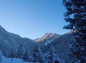
After reaching the Gold Camp parking lot, strap on your snow shoes and head west past the gated road continuing on Gold Camp. The road will continue west for half a mile before passing the Seven Falls trailhead and turning east for another half a mile.At the collapsed tunnel, Gold Camp Road ends....
Read more
-
Colorado Springs, Colorado
4.0
4.75 mi
/ 1600 ft gain
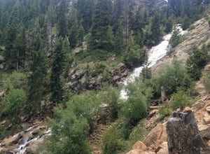
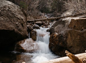
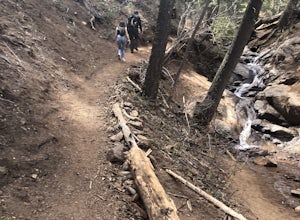
Follow North Cheyenne Creek through the canyon as it forms several cascades along the way. Due to water levels, spring is an especially good time for this hike.
Most turn around just past the seventh bridge, where the trail starts to disappear.
Read more
-
Colorado Springs, Colorado
4.0
0.65 mi
/ 272 ft gain
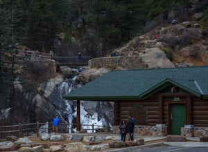
Park at the log-cabin visitor's center on North Cheyenne Canyon Rd just before it turns into Gold Camp Rd. I definitely recommend arriving early, as the parking lot fills up quickly. Helen Hunt Falls is in sight of the parking area, and another 1/3 mile past that you'll run into Silver Cascades.
...
Read more
-
Colorado Springs, Colorado
From the parking area, follow the trail as it heads up towards the falls. The last mile, in particular, makes for a decent uphill challenge. This hike and waterfall are great for showing family and friends.
Read more
-
Colorado Springs, Colorado
This trail starts out of Limekiln Trailhead in Cheyenne Mountain State Park. This is a large, obvious trailhead with bathrooms and water. From the trailhead follow the Talon trails on flatter terrain for the first 3 or so miles until it starts to steepen and turns to Dixon trail. These first few ...
Read more
-
Colorado Springs, Colorado
4.0
2.5 mi
/ 1100 ft gain
This is a short trail that goes very high in elevation. In about 1.25 miles you can go about 2000ish feet in elevation change. You need to wait till 9am to start the hike as it sits on the US Airforce Academy. It is definitely worth it. Bring shoes that can handle the rocky terrain.You take the f...
Read more
-
Manitou Springs, Colorado
4.8
3.7 mi
/ 1322 ft gain
To get to the trailhead start on Old Stage Rd. After 11 miles turn right onto Forest Service Rd 379. This is a 4WD road. A small/large SUV, or truck should do the trick, nothing too crazy though. Drive on FS 379 for 1.5 miles until you come to an open field on the right known as Frosty Park. Ther...
Read more
-
Colorado Springs, Colorado
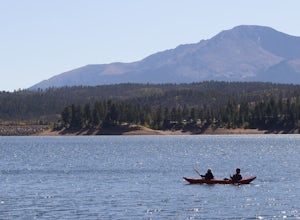
Rampart Reservoir is located off of Rampart Range Road and is boat accessible from Spring until Fall. It has a boat ramp for motorized as well as human powered boats. There are vault toilets nearby. It is a nice place to spend the day paddling at close to 9,000 ft elevation. Just be prepared for ...
Read more
-
El Paso County, Colorado
The Basics: If you've never been to Green Mountain Falls, you're missing out! This tiny mountain hamlet, just off Hwy 24 before Woodland Park, hosts a vibrant collection of local shops and eateries around its community lake. It is also home to many lesser-known hiking trails, including the H.B. W...
Read more
-
Green Mountain Falls, Colorado
The Basics:
The little town of Green Mountain Falls often gets overlooked as motorists speed up Highway 24 to Woodland Park and beyond. However, big hiking opportunities abound here. The town probably has as many miles of hiking trails as it has miles of paved roads! Being on the base of Pikes Pe...
Read more
-
Cascade, Colorado
From the starting point near Balanced Rock in Garden of the Gods, Rampart Range Road turns to dirt and begins a steady climb into the foothills west of Colorado Springs. Though dirt, the road is well-graded and perfectly suitable for passenger cars in good weather. As the road climbs, you'll trav...
Read more
-
Colorado Springs, Colorado
Along Rampart Range Road there are about 30 free BLM camping spots that offer scenic views of Pikes Peak and the surrounding forest. The road in is about 6 miles of gravel, however a 2WD Sedan was able to make the journey just fine! The camping spots are designated by a pre-existing fire ring and...
Read more

