Colorado
Looking for the best chillin in Colorado? We've got you covered with the top trails, trips, hiking, backpacking, camping and more around Colorado. The detailed guides, photos, and reviews are all submitted by the Outbound community.
Top Chillin Spots in and near Colorado
-
Vail, Colorado
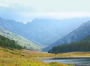
Hike the Upper Piney River Trail
4.05.6 mi / 350 ft gainBeginning at an elevation of 9,397 feet, this hike provides an easy 2.8 mile (one way) trip through the gorgeous meadows against the distant aspens and alpines. Wildflowers and wildlife are abundant, which make this trip a fantastic education and play experience for kids.Coordinates for the trail...Read more -
Estes Park, Colorado
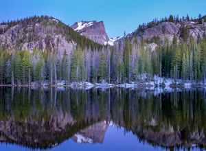
Nymph Lake via Bear Lake Trailhead
4.81.13 mi / 245 ft gainWhile not as popular as Dream Lake, Nymph Lake is just as beautiful. The hike to Nymph Lake is an easy hike just over 1 mile. You start from the Bear Lake Trail head and can go further on to Dream Lake and Emerald Lake if you want to. Both Dream and Emerald Lakes are also stunning and very photog...Read more -
Glenwood Springs, Colorado
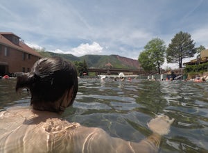
Relax at Glenwood Hot Springs
4.5Glenwood is best known for its large hot springs pool, kept between 90 and 93 degrees, while the minerals in the water are meant to provide a natural therapy to the body. There is also a smaller therapy pool, at 104 degrees, and a spa, as well. You'll find all the amenities you need here, and wi...Read more -
Estes Park, Colorado
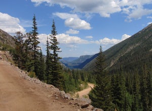
Drive Old Fall River Road
4.6This amazing drive starts after entering at the Fall River Entrance of Rocky Mountain National Park (although any entrance will work this is just the fastest route). Follow Fall River Road just past Sheep Lakes and take your first right onto Endo Valley Rd. From here travel to the Endovalley picn...Read more -
Golden, Colorado
Hike to Forgotten Valley
4.33.6 mi / 852 ft gainThere are over 35 miles of hiking trails in the park. The twelve trails in Golden Gate Canyon State Park are named after an animal and marked with the animal’s footprint.For a 2.6 round trip hike, start at the Burro Trailhead in Golden Gate Canyon State Park. You’ll immediately cross over a lit...Read more -
Aspen, Colorado
Hike Lost Man Loop
5.08.8 mi / 1290 ft gainThis 8.8 mile "loop" is not a true loop and the trail ends 4 miles apart along Independence Pass, so a car shuttle is recommended. I would recommend starting at the west trailhead (closer to Aspen) but will describe both trailheads so you can set up another car or shuttle at the other one.1) West...Read more -
Rifle, Colorado
Explore Rifle Falls
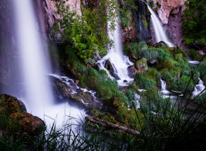
4.6RIfle Falls is located up Rifle Canyon just outside of the town of Rifle on I-70 in Southern Colorado. After driving by the sign for this gem many times on my drives from Utah to Colorado I made a short detour to check out the falls and have some lunch.The state park is small with a some short tr...Read more -
Nathrop, Colorado
Explore the St. Elmo Ghost Town
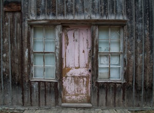
3.8If you're willing to go off the beaten path to a neat little ghost town, St. Elmo, Colorado is the place for you! About 2 and a half hours west of Colorado Springs, Colorado lies the town of St. Elmo, high up in the White River National Forest.The town itself was founded in 1880 when they discov...Read more -
Ridgway, Colorado
Box Canyon Falls
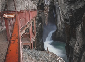
5.00.57 mi / 243 ft gainBox Canyon Falls is located on the outskirts of Ouray, Colorado less than five minutes from downtown. The nearly 300 foot waterfall crashes through the canyon down to the town's hot springs. The park also features a bridge overlooking the waterfall, river, and the town of Ouray. To get to Box Ca...Read more -
Silverthorne, Colorado
Lily Pad Lake
4.73.27 mi / 531 ft gainLily Pad Lake is a well known destination just outside of Silverthorne and in the Eagle's Nest Wilderness. The trail may be heavily trafficked on the weekends, but solitude can still be found in the early mornings or during the weekdays. The trail starts at the Lily Pad Lake Trailhead, just to t...Read more -
Nederland, Colorado
Drive the Peak to Peak Highway
4.555 mi / 705 ft gainThe Peak to Peak Highway is a 55-mile stretch of road that winds its way from Nederland to Estes Park (or Estes Park to Nederland). This road connects to many points of exploration, Indian Peaks Wilderness Area and Rocky Mountain National Park to name a couple, but the drive itself is an adventur...Read more -
Buena Vista, Colorado
Summit La Plata Peak
5.09.25 mi / 4500 ft gainThe Northwest Ridge is the most easily accessible and popular route, and for good reasons. The trailhead is on the side of Hwy 82, otherwise known as Independence Pass, about 14.5 miles from the Hwy 24 junction, or about 10 miles from Twin Lakes to the east. The trailhead is hard to miss, and you...Read more -
Parshall, Colorado
Camp at Jones Pass
4.5To locate these campsites all you have to do is type in Jones Pass Road into google maps or your iPhone and it will take you straight there. There are road signs once you get off I-70 that will help you the rest of the way that say Jones Pass. Once you hit the dirt road and pass the Jones Pass Tr...Read more -
Silverthorne, Colorado
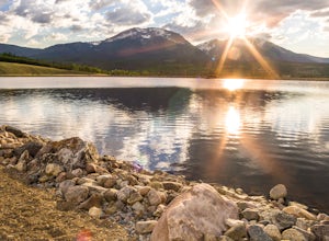
Hike to Old Dillon Reservoir
4.51.7 mi / 137 ft gainToday, Lake Dillon is one of the biggest attractions in the Dillon Valley, attracting boaters, anglers, and campers. However, the large reservoir we know today was not the first one in the area. The Old Dillon Reservoir was built in the 1930s to supply water to the original town of Dillon, which...Read more -
Crested Butte, Colorado
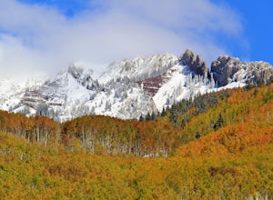
Drive Kebler Pass for Fall Colors
5.0Kebler Pass, or Gunnison County Road (GCR) 12, is an excellent place to see fall colors in Colorado. You won't get nearly as much congestion as on Independence Pass in Aspen, but you get just as many yellow and amber leaves. The road is dirt but passable by any vehicle–although because it's at ov...Read more -
Castle Rock, Colorado
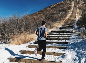
Run the Challenge Hill
5.00.6 mi / 200 ft gainThe Basics: The Challenge Hill, or as I like to call it, the Mini-Incline, is a shrunken version of its big brother to the south in Manitou. However, don't let its relatively small 200 stair count fool you - this hill is a serious workout! Located in Philip S. Miller Park, just one minute off I-2...Read more

