Carbondale, Colorado
Looking for the best backpacking in Carbondale? We've got you covered with the top trails, trips, hiking, backpacking, camping and more around Carbondale. The detailed guides, photos, and reviews are all submitted by the Outbound community.
Top Backpacking Spots in and near Carbondale
-
Aspen, Colorado
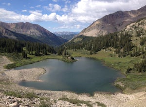
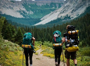
Backpack to Copper Lake
10 miLooking for a wildflower hike, we decided on Copper Lake in the Maroon Bells Wilderness as a place to base camp for 4 nights. It is 5 miles from the Trailhead, which is off Gothic Road above Crested Butte (2WD Accessible).Copper Lake is this beautiful alpine lake, situated right at treeline, with...Read more -
Crested Butte, Colorado
Conundrum Hot Springs via Copper Creek
22.5 mi / 4000 ft gainPlease Note: Conundrum Springs camping requires an overnight permit. You must get a permit in order to camp at the springs. If you're looking for an incredibly challenging hike, Copper Creek to Triangle Pass to Conundrum Springs is the hike for you! When you plug in "Conundrum Springs" into you...Read more -
Aspen, Colorado
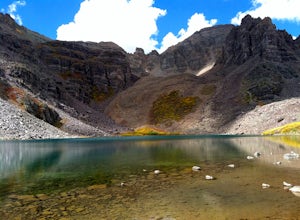
Backpack Cathedral Lake
4.75.6 mi / 2000 ft gainCathedral Lake offers an excellent alternative to escape the crowds that swarm the Maroon Bells area, especially in the peak autumn season. The drive along Castle Creek Rd towards the abandoned ski town Ashcroft is lined with aspens showing off their golden hues. Parking at the trailhead is plent...Read more -
Meredith, Colorado
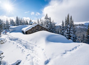
Ski Betty Bear to Skinner Hut
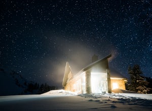
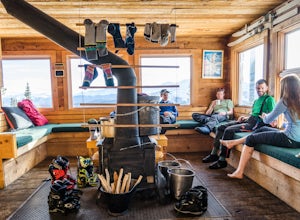
20.2 mi / 3650 ft gainBetty Bear and Skinner Huts reside deep in the Colorado backcountry surrounded by thick forests and snowy peaks. Both of these huts offer an opportunity for off-grid leisure and crowd-free skiing. The huts come stocked with padded mattresses, wood stoves & fuel, propane burners, all cookware ...Read more -
Aspen, Colorado
Hike Lost Man Loop
5.08.8 mi / 1290 ft gainThis 8.8 mile "loop" is not a true loop and the trail ends 4 miles apart along Independence Pass, so a car shuttle is recommended. I would recommend starting at the west trailhead (closer to Aspen) but will describe both trailheads so you can set up another car or shuttle at the other one.1) West...Read more -
Minturn, Colorado
Hike to Fancy Pass
5.06 mi / 2373 ft gainThe Fancy Pass Trail near Red Cliff is an excellent option for those looking to experience hiking in the rugged and pristine conditions of a wilderness area. This 6 mile roundtrip trail will take you into the Holy Cross Wilderness and up close and personal with towering peaks, verdant meadows, an...Read more -
Minturn, Colorado
Backpack the High Alpine Seven Sisters Lake Chain
12 mi / 1000 ft gainThis lake chain is in a spectacular, undeveloped bowl of jagged and rugged mountain goodness located in the Holy Cross Wilderness Area. This hidden gem is easily accessible and, to my amazement, it is relatively unheard of even among many locals. More wonderful perks included in this backpacking ...Read more -
Independence, Ohio
Hike Lost Man Pass via Independence Lake
5.04.5 mi / 1200 ft gainPark at the pull out just west of independence pass. From there, begin on the Linkin's Lake Trail. The trail is generally easy to follow (although it can be muddy as it is a wet area) and climbs 900 feet in the 1.8 miles to independence lake. From Independence lake it is about 0.5 miles and 400 f...Read more -
Minturn, Colorado
Scramble the Halo Ridge on Mt. Holy Cross
5.015 mi / 5210 ft gainThe Halo Ridge is by no means the easiest route to the summit of Mt. Holy Cross, but it is definitely the most interesting and scenic. You'll begin at the Half Moon (Tigiwon) trailhead, but instead of the popular Halfmoon Trail, you will start on the Fall Creek Trail as it leaves the campground.T...Read more -
Garfield County, United States
Hike the Devil's Causeway Loop
5.010.5 mi / 1550 ft gainCrossing the Devil's Causeway is a rite of passage for Colorado hikers. The dramatic exposure will terrify some and exhilarate others, but the loop offers much more than the short rocky expanse that's the draw for most people.The Approach: From the trailhead at Stillwater Reservoir, the East Fork...Read more -
Leadville, Colorado
Colorado Trail: Mount Elbert Trailhead to Twin Lakes
8.49 mi / 1099 ft gainColorado Trail: Mount Elbert Trailhead to Twin Lakes is a point-to-point trail that takes you by a lake located near Leadville, Colorado.Read more -
Vail, Colorado
Hike the Upper Piney River Trail
4.05.6 mi / 350 ft gainBeginning at an elevation of 9,397 feet, this hike provides an easy 2.8 mile (one way) trip through the gorgeous meadows against the distant aspens and alpines. Wildflowers and wildlife are abundant, which make this trip a fantastic education and play experience for kids.Coordinates for the trail...Read more -
Vail, Colorado
Backpack to Bubble Lake
3.013 mi / 3600 ft gainThe Gore's are a rough and remote section of the Eagle's Nest Wilderness. What this trip may lack in overall miles, it more than makes up for in elevation gain, scrambling, boulder hopping, and overall hard miles on the trail. Every trip I have had the pleasure of taking into the Gore Range has...Read more -
Red Cliff, Colorado
Ski to Fowler-Hilliard Hut
6.5 mi / 2500 ft gainFowler-Hilliard hut sits at 11,500 ft on a forested ridge of Resolution Mountain, with easy access to intermediate and expert backcountry skiing right out the door. This newer hut was built in 2010 after the original hut burned down from a lightning strike. The hut comes stocked with padded mattr...Read more -
Leadville, Colorado
Ski Hut-to-Hut from Uncle Bud's to Skinner Hut
5.024.5 mi / 4700 ft gainThe trek starts just outside of Leadville near Turquoise Lake at 9800 ft. The first day you'll travel 6.5 miles and gain 1700 ft. to Uncle Bud's Hut, which sits around 11,400 ft. The second day you'll ski 7.1 miles to Skinner Hut and gain 2100 ft, mostly in the last 3 miles after having dropped...Read more -
Cedaredge, Colorado
Run the Crag Crest Loop
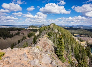
4.310.4 mi / 1500 ft gainThe Crag Crest Trail is a 10-mile loop that takes runners over one of the highest points on Grand Mesa. When traveling in a clockwise direction, the trail traverses a narrow rocky ridge for 5-miles before descending into the dense pine forest below. Grand Mesa's trails are less maintained due to ...Read more

