Bond, Colorado
Looking for the best backpacking in Bond? We've got you covered with the top trails, trips, hiking, backpacking, camping and more around Bond. The detailed guides, photos, and reviews are all submitted by the Outbound community.
Top Backpacking Spots in and near Bond
-
Coalmont, Colorado
Camp at Dumont Lake, CO
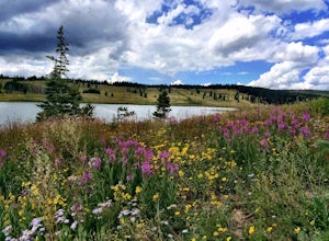
4.5Dumont Lake is 22 miles southeast of Steamboat Springs, just minutes off of U.S. Highway 40 (Rabbit Ears Pass). As you turn off the highway and drive down the dirt road, you get great views of Rabbit Ears Peak.The campground is made up of 14 sites. Almost all of the sites have a view of the meado...Read more -
Fraser, Colorado
Summit Byers Peak
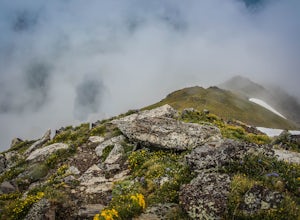
8.8 mi / 2774 ft gainThe drive to the start of the trail is okay, having a high clearance vehicle would make the drive easier, but is not necessary. Free parking is available along the side of the road.The trail starts on a closed service road at a gate and requires you to either hike or bike up the dirt road (2 mil...Read more -
Breckenridge, Colorado
Backpack & Fish The Mohawk Lakes
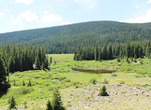
4.06.8 mi / 1940 ft gainThe trailhead is located a few miles out side of Breckenridge Colorado. The trail starts at 10,390' and the first two miles are spent walking through a mix of fir, aspen, and spruce trees until the trail goes parallel to Spruce Creek Road and eventually crosses it and continues over a small dam (...Read more -
Breckenridge, Colorado
Lower Crystal Lake via Crystal Creek Road
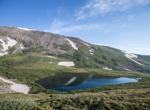
5.04.52 mi / 1624 ft gainTo get to the Crystal Lakes start at the Spruce Creek Trailhead. You can hike or drive to the Lower Crystal Lake along Crystal Creek Road. If you choose to drive, you will need a high clearance 4x4 vehicle as you follow along Crystal Creek Road. The road is steep, but when they get to the top it ...Read more -
Breckenridge, Colorado
Hike to & Stay at Francie's Cabin
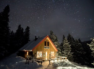
5.01.09 mi / 1000 ft gainLocated at 11,360' and owned by the 10th Mountain Division Hut Association, Francies Cabin was built in memory of Frances Lockwood Bailey in 1994 and is located just a short distance (5 mile drive, 1.05 mile hike) from town of Breckenridge, Colorado. It has a summer and winter capacity of 20 peop...Read more -
Breckenridge, Colorado
Ski or Snowshoe to Section House Hut
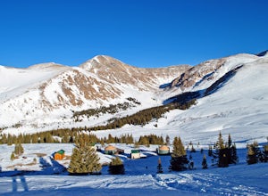
5.06.25 mi / 1200 ft gainThere are a couple routes to Section Hut on Boreas Pass, but the best adds trekking through the forest on Baker's Tank trail. Starting at 10,350' at the TH, look for a trail in the woods that starts climbing relatively quickly. Follow this for about 2.5 miles to the junction with the road and B...Read more -
Parshall, Colorado
Ski or Snowshoe Jones Pass
4.06 mi / 1600 ft gainIts sister trail, Butler Gulch, is an all-time favorite hike (both summer and winter), and since they share a trailhead, I knew Jones Pass would be special as well.Jones Pass is not the type of trail I normally take, since it is actually a 4x4 road that is used for Jeeping in the summer and snowm...Read more -
Leadville, Colorado
Ski Hut-to-Hut from Uncle Bud's to Skinner Hut
5.024.5 mi / 4700 ft gainThe trek starts just outside of Leadville near Turquoise Lake at 9800 ft. The first day you'll travel 6.5 miles and gain 1700 ft. to Uncle Bud's Hut, which sits around 11,400 ft. The second day you'll ski 7.1 miles to Skinner Hut and gain 2100 ft, mostly in the last 3 miles after having dropped...Read more -
Dillon, Colorado
Wildflowers, Lakes, and Peaks, Oh My!
5.0Herman Gulch is one of those special places that makes you fall in love with Colorado all over again. This spectacular wildflower hike that ends at an alpine lake will have your head swiveling from start to finish. Wildflower season is July and August, with peak season being mid-to-late July. Ple...Read more -
Basalt, Colorado
Camp at Thomas Lake and Summit Mt. Sopris
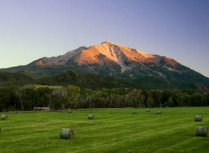
5.013 mi / 4400 ft gainWith the Elk Mountain range behind it, It appears to be standing by itself, and has the resemblance of a grand volcano.From Hwy 133 out of Carbondale, turn down Prince Creek Road and drive 6 miles to the trailhead. The trail is a nice mixture of meadows and woods, with excellent views of the vall...Read more -
Leadville, Colorado
Overnight at the Emma and Marceline Yurts, Leadville
11 mi / 1200 ft gainDrive past the main downtown of Leadville and then head into the mountains south of town, following Mt. Sherman Road to the Yurt parking along a ridge before you come to the Black Cloud Mine. There are signs that say "Yurt Parking". Follow the road a little further down to a jeep road just before...Read more -
Aspen, Colorado
McNamara Hut
5.012.46 mi / 2631 ft gainMcNamara Hut sits in the national forest on the slope of Bald Knob, with easy access to intermediate backcountry skiing and more challenging terrain further away. Built in 1982, it's one of the original huts in the 10th Mountain Division system along with Margy's Hut. The hut comes stocked with...Read more -
Aspen, Colorado
Camp on the Backside of Buttermilk Mountain
1.04 mi / 2000 ft gainPark at the Buttermilk Ski Area parking lot and begin your hike up the mountain at the bottom of the Summit Express chair lift. Follow the 4x4 dirt road the entire way up Buttermilk. There are other small hiking trails that you can follow too, and with the entire mountain being a ski area, it's s...Read more -
Winter Park, Colorado
Snowshoe to Broome Hut
1.5 mi / 729 ft gainTake I-70 from Denver and then US 40, go all the way to Mile marker 240 of US 40 and park in the area at the side of the road. The Second Creek trail head is just behind the parking area and is easy to find.The trail climbs from a start at 10,600ft and finishes up at 11,325ft at the hut, but you ...Read more -
Breckenridge, Colorado
Camp at Boreas Pass
9 mi / 1500 ft gainBoreas pass is a high mountain pass in the Rocky Mountains that sits on the Continental Divide at 11,481'. Forest Service Road 33 goes over the pass and has numerous campsites all along its length, with several near the summit that feature breathtaking views of the Tenmile Range and the Breckenri...Read more -
Snowmass, Colorado
Capitol Lake via Capitol Ditch
5.012.28 mi / 2575 ft gainThe route to Capitol Lake is fairly straightforward, but not without its minor hardships. The route begins at the end of Capitol Creek Road, 9 miles from the small "town" of Snowmass (NOT Snowmass Village - that's the high-class ski resort). The last few miles of this road provide the first min...Read more

