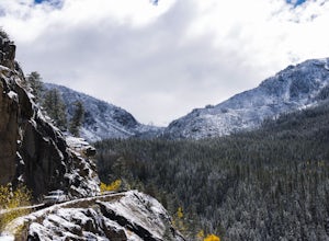
Avon, Colorado
Looking for the best chillin in Avon? We've got you covered with the top trails, trips, hiking, backpacking, camping and more around Avon. The detailed guides, photos, and reviews are all submitted by the Outbound community.
Top Chillin Spots in and near Avon
-
Gypsum, Colorado
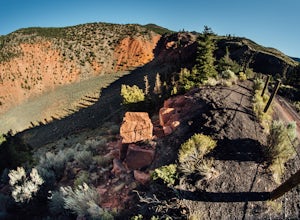
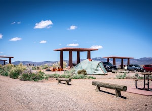
Camp at Dotsero Crater
COLORADO'S YOUNGEST VOLCANO The Dotsero crater is Colorado's youngest volcano, erupting a mere 4,200 years ago. While the crater may not be as dramatic as Mt. St Helens, Mt. Baker, or other volcanos in the U.S., it's quite an unusual terrain feature to come across in Colorado, and offers some gre...Read more -
Leadville, Colorado
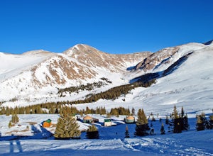
Overnight at the Emma and Marceline Yurts, Leadville
11 mi / 1200 ft gainDrive past the main downtown of Leadville and then head into the mountains south of town, following Mt. Sherman Road to the Yurt parking along a ridge before you come to the Black Cloud Mine. There are signs that say "Yurt Parking". Follow the road a little further down to a jeep road just before...Read more -
Breckenridge, Colorado
Hike to & Stay at Francie's Cabin
5.01.09 mi / 1000 ft gainLocated at 11,360' and owned by the 10th Mountain Division Hut Association, Francies Cabin was built in memory of Frances Lockwood Bailey in 1994 and is located just a short distance (5 mile drive, 1.05 mile hike) from town of Breckenridge, Colorado. It has a summer and winter capacity of 20 peop...Read more -
Leadville, Colorado
Camp at Kite Lake
5.0Kite Lake is a beautiful little lake that is surrounded plenty of fourteeners. Just outside of Alma, Colorado, Kite lake can be accessed from Buckskin Street. Buckskin is a simple left turn after the only bar in Alma, or a right turn before the only bar in Alma... Do note, this road is not drivab...Read more -
Leadville, Colorado
Mt. Democrat (CLOSED)
4.84 mi / 2150 ft gainNOTE: As of March 2023, access to parts of this loop that are on private property (including Mt. Democrat & Mt. Lincoln) are closed to the public indefinitely. (Source) To begin this wonderful hike, drive from the town of Alma, Colorado and head up Buckskin Street for about 6 miles. I would ...Read more -
Breckenridge, Colorado
Discover Ancient Trees on Windy Ridge
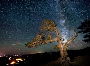
The Windy Ridge Bristlecone Pine Scenic Area is a remote stand of trees off a 4WD road near Alma, Colorado. This grove of bristlecone pines was given protected status in 1964 due to its uniquely shaped trees influenced by the winds blasting off nearby 14er, Mount Bross. The area sits at 11,700 ...Read more -
Breckenridge, Colorado
Camp at Boreas Pass
9 mi / 1500 ft gainBoreas pass is a high mountain pass in the Rocky Mountains that sits on the Continental Divide at 11,481'. Forest Service Road 33 goes over the pass and has numerous campsites all along its length, with several near the summit that feature breathtaking views of the Tenmile Range and the Breckenri...Read more -
Dillon, Colorado
Off-Road to Glacier Mountain
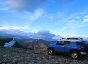
5.07.4 mi / 2100 ft gainThe trail begins just past historical Main Street Montezuma. You will see a sign on your right for St. Johns road. This road is officially marked as 275 on a map. The original road lead to St. Johns but not much of the town remains.You will cross the Snake River almost immediately after you turn ...Read more -
Aspen, Colorado
Explore Aspen's Foliage Along Government Trail
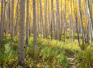
5.010 mi / 2193 ft gainThe Government Trail is beautiful and relaxing during spring and summer, but my favorite time to hike it is during fall because it goes through countless numbers of Aspen groves, which have turned a majestic yellow. After a moderate ascent for the first couple of miles, the trail become flat and ...Read more -
Aspen, Colorado
Independence Ghost Town
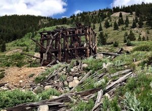
4.3Back in the late 1800s, Ashcroft, Aspen, and Independence were booming mining town. While Aspen is still thriving today, Ashcroft and Independence are ghost towns. Independence Ghost Town is on Independence Pass, 16 miles east of Aspen on Highway 82. The Farwell Mill sits right along the highwa...Read more -
Aspen, Colorado
Hike Lost Man Loop
5.08.8 mi / 1290 ft gainThis 8.8 mile "loop" is not a true loop and the trail ends 4 miles apart along Independence Pass, so a car shuttle is recommended. I would recommend starting at the west trailhead (closer to Aspen) but will describe both trailheads so you can set up another car or shuttle at the other one.1) West...Read more -
Kremmling, Colorado
Camp at Wolford Mountain Reservoir
If a nice relaxing adventure is what you seek, this is the place for you. There aren't a lot of super scenic, adrenaline pumping hikes at this campground, but there are well established campsites with beautiful sunrise and sunset views. If you're a photographer, the midnight sky on a moonless nig...Read more -
Independence, Ohio
Hike Mountain Boy Ridge from the Top of Independence Pass
5.06 miThe trailhead is to the Independence Pass viewing deck is located at the Summit parking area, which is about 20 miles from Aspen and 24 miles west of Highway 24 on the Leadville side. At the parking area you will notice a paved walkway that takes you to the viewdeck, which is a easy five minute w...Read more -
Independence, Ohio
Watch the Sunset from Independence Pass
1.0Start in the town of either Aspen or Twin Lakes and continue on Interstate 82 to the top of Independence Pass. Along the way, keep your eyes peeled for the Ghost Town of Independence, fields of wildflowers and the occasional moose, elk or deer. Continue on to the top of the pass where you will fi...Read more -
Independence, Ohio
Photograph Fall Colors Along Independence Pass and Twin Lakes, CO
5.0While this is a more of a photography adventure and a fall drive to take through Colorado, there are also many areas to hike along the way. The drive can start from really anywhere in the general area. From the front range area of Colorado, head up I70 and get off toward Twin Lakes around Copper....Read more -
Independence, Ohio
Drive Independence Pass
5.032 miWhether you are driving or biking, the elevation gain is significant, it's over 4,000 ft. The road is fairly narrow so being cautious is important. The highway itself is seasonal; it's closed for winter due to icy conditions. We stopped along the Grotto trailhead to hike around and get some views...Read more

