California
California offers a diverse range of outdoor activities. The state boasts pristine coastlines, granite mountains, and expansive redwood forests. Travelers can explore the Alamere Falls, which empties directly into the Pacific Ocean, or visit McWay Falls in Big Sur, a prominent waterfall visible from Highway 1. For those interested in hiking, the Sunrise Lakes to Clouds Rest trail is a notable choice, while the Lands End Trail in San Francisco provides a scenic coastal walk. Whether you're looking to hike, camp, or simply enjoy the outdoors, California has something for everyone.
Top Spots in and near California
-
Desert Hot Springs, California
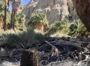
Pushwalla Palms Loop
4.33 mi / 741 ft gainPushwalla Palms Loop is a loop trail where you may see wildflowers located near Thousand Palms, California.Read more -
Morongo Valley, California
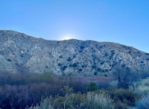
Big Morongo Canyon Trail
11.65 mi / 1401 ft gainBig Morongo Canyon Trail is a loop trail where you may see wildflowers located near Morongo Valley, California.Read more -
Hesperia, California
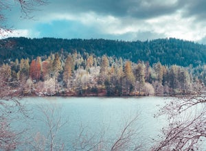
Sawpit Beach
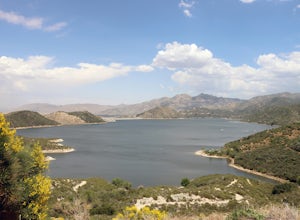
Sawpit Beach, is nestled within the Silverwood Lake State Recreation Area. The beach offers a peaceful respite along the southern shores of Silverwood Lake. With lifeguards on duty during the summer months, families can enjoy a worry-free day of swimming and relaxation. The sandy shores provide t...Read more -
Palm Springs, California
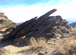
North Lykken Trail from W. Crescent Drive
1.67 mi / 906 ft gainNorth Lykken Trail from W. Crescent Drive is an out-and-back trail that takes you past scenic surroundings located near Palm Springs, California.Read more -
South Lake Tahoe, California
Meiss and Round Lake via Tahoe Rim Trail
10.5 mi / 1257 ft gainMeiss and Round Lake via Tahoe Rim Trail is an out-and-back trail that takes you by a lake located near Kirkwood, California.Read more -
Encinitas, California
Stonesteps Beach
Stonesteps Beach is incredibly scenic during every season. In the winter this beach is usually fairly rocky, and in the spring/summer the sand returns. If you're looking to hang out on this beach just be sure to set up your towel or chair a good ways away from the cliffside as there is a lot of...Read more -
South Lake Tahoe, California
Tahoe Rim Trail (TRT): Big Meadow to Echo Summit
17.51 mi / 2949 ft gainTahoe Rim Trail (TRT): Big Meadow to Echo Summit is a point-to-point trail that takes you by a lake located near South Lake Tahoe, California.Read more -
Lancaster, California
Saddleback Butte State Park Loop
0.58 mi / 46 ft gainSaddleback Butte State Park is a state park in the Antelope Valley of the western Mojave Desert. It’s oftentimes looked over, but you’d be surprised what you can find there. Definitely a place to stop. It is located east of Lancaster. It can get hot so make sure to bring lots of water and wear su...Read more -
Mountain Center, California
Apache Peak Trail
9.4 mi / 2966 ft gainApache Peak Trail is an out-and-back trail where you may see wildflowers located near Mountain Center, California.Read more -
Angelus Oaks, California
South Fork to Dollar Lake Trail
11.3 mi / 449 ft gainSouth Fork to Dollar Lake Trail is an out-and-back trail that takes you by a lake located near Banning, California.Read more -
Capitola, California
New Brighton Beach Trail
0.85 mi / 112 ft gainNew Brighton Beach Trail is an out-and-back trail that takes you past scenic surroundings located near Aptos, California.Read more -
Monte Rio, California
Monte Rio Community Beach
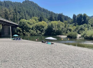
Monte Rio Community Beach is located in the Sonoma County town of Monte Rio. The beach nestles up to the Russian River offering a great chance for families to kick back and relax by the water or bring your kayak or stand-up paddle board for fun on the water. Dog-Friendly: Monte Rio Community Be...Read more -
Hesperia, California
Cleghorn Beach and Day Use Area
Nestled at the southwestern edge of Silverwood Lake lies Cleghorn Beach and Day Use Area, a perfect spot for a leisurely afternoon. This family-friendly beach boasts lifeguards on duty during the summer months and offers reservable picnic shelters for your convenience. Unlike other parts of the l...Read more -
Los Angeles, California
Cabrillo Beach
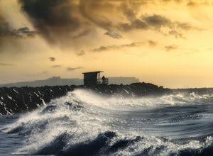
Cabrillo Beach located in San Pedro, California is a great spot to bring the whole family. There are tide pools at the beach as well as the Cabrillo Marin Aquarium where the kiddos can get tours and more information about the sea life they're seeing. There is a parking lot at the Cabrillo Beach...Read more -
San Bernardino County, California
Trona Pinnacles OHV Route
12.07 mi / 344 ft gainTrona Pinnacles OHV Route is an out-and-back trail that provides a good opportunity to see wildlife located near Trona, California.Read more -
Guerneville, California
Johnson's Beach
Johnson's Beach is a public beach located on the Russian River in Guerneville, California.Read more

