Yountville, California
Looking for the best hiking in Yountville? We've got you covered with the top trails, trips, hiking, backpacking, camping and more around Yountville. The detailed guides, photos, and reviews are all submitted by the Outbound community.
Top Hiking Spots in and near Yountville
-
San Francisco, California
McLaren Park: Philosopher's Way Loop
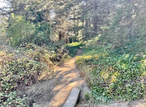
5.02.25 mi / 315 ft gainBeyond McLaren's family friendly playgrounds and picnic areas, there are miles of trail to explore. The Philosopher's trail is a well-marked loop (notice the stone markings along the trail with arrows etched into them). There are several parking lots available where you can jump onto the loop. No...Read more -
San Francisco, California
San Francisco Crosstown Trail
5.016.71 mi / 1975 ft gainThe San Francisco Crosstown Trail runs point-to-point from Candlestick Point to Land End. The SF Crosstown Trail officially opened in 2014. It connects park trails to neighborhoods and communities. In it's in entirety it's almost 17 miles long with 5 Sections available for those looking to bre...Read more -
San Francisco, California
Lake Merced Loop
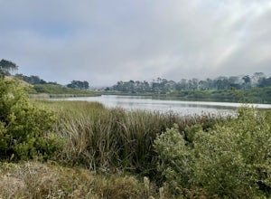
4.74.53 mi / 180 ft gainLake Merced Loop is a loop trail in the southwestern part of San Francisco. This trail is used for running and walking. You'll see plenty of people getting exercise or taking their dog for a stroll. There are also benches and tables around the loop. The lake itself is fresh water and is used for...Read more -
San Francisco, California
Fort Funston Trail
4.71.81 mi / 253 ft gainFort Funston is an SF gem I discovered when looking for a dog friendly hike near the city. Located west of Lake Merced, you'll find a gorgeous Northern California beach oasis where you and your dog can run wild and free :). Parking is located at the top of the park where you'll descend a steep se...Read more -
Daly City, California
San Bruno Mountain
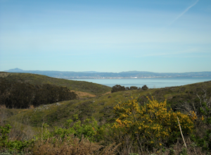
4.03.63 mi / 781 ft gainSan Bruno Mountain is a fun, mellow hike that climbs easily on a well-graded path to the ridge line, and then drops back to the trailhead. Along the way, the trail runs along a creek, ascends through chaparral, and provides excellent views of downtown San Francisco, the East Bay hills, and the Sa...Read more -
Castro Valley, California
Lake Chabot Regional Park Loop
4.08.65 mi / 1263 ft gainLooking for a fun day on a lake, but don't want to drive too far? We recommend heading out to the East Bay where you can combine a nice hike with an afternoon of fishing. This moderately challenging hike remains scenic throughout the 8.5 mile trek around the lake, and offers many opportunities fo...Read more

