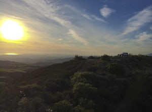
Yorba Linda, California
Yorba Linda, California, is home to some of the best trails and outdoor activities. The top pick is the Chino Hills State Park, a must-visit for outdoor adventures. It features a scenic 14-mile hiking trail, perfect for all skill levels. The trail is known for its beautiful wildflowers and bird watching opportunities. You can also spot the occasional deer. Another popular spot is the Santa Ana River Trail, a 50-mile long trail that offers stunning views of the river. Yorba Regional Park is also a great spot for fishing and picnicking with four lakes and over 400 picnic tables. For those who prefer horseback riding, there's the Anaheim Equestrian Center. Remember to bring your camera to capture the beautiful landscapes.
Top Spots in and near Yorba Linda
-
Llano, California
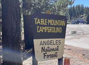
Table Mountain Campground
Table Mountain Campground is a hilly campground that offers ADA-accessible sites, pit toilets, fire rings, picnic tables, BB! grill, water, and parking spaces for a two-car limit. Rules are strictly enforced, which is great, so we can enjoy nature and not someone’s party/music. Book your campgro...Read more -
Burbank, California
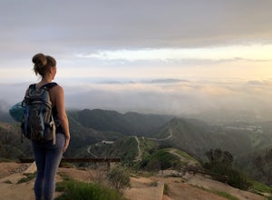
Wildwood Canyon Loop
3.98 mi / 1680 ft gainThe Vital Link Trail is a steep and narrow out-and-back trail accessed though the Wildwood Canyon Park located in Burbank, CA. Parking at Wildwood Canyon is free and easy, and will be determined by which of the four trailheads you choose to start from. For the shortest and most direct route you...Read more -
Burbank, California
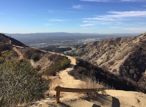
Vital Link Trail
4.03.72 mi / 1775 ft gainFrom I-5, take the Burbank Blvd exit. Drive north on Burbank Blvd. and take a right on N 3rd. Left on E Harvard. Right on Wildwood Canyon after 1.5 miles. There are a few ways you can begin your hike: from the parking lot, the entrance will be to the left past the gate. Here you were have a stee...Read more -
Rancho Palos Verdes, California
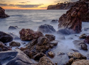
Terranea Beach Sea Cave
4.31.63 mi / 210 ft gainHead to the Pelican Cove parking lot where there’s plenty of free parking right at the trailhead. From the parking lot, take the Terranea Beach Trail and you will see views of the Point Vicente Lighthouse down the coast to your right. Continue on the trail through the luxury Terranea Resort whic...Read more -
Rancho Palos Verdes, California
Pelican Cove
0.38 mi / 95 ft gainGetting There Coming from San Pedro, make a U-turn at the Hawthorne Boulevard stoplight onto Palos Verdes Drive South. From here, you can access the parking lot for Pelican Cove, where you'll get a 120° view of the ocean. It might be tempting to take in the sunset from the car, but you should def...Read more -
San Clemente, California
San Clemente State Beach
4.54.58 mi / 26 ft gainSan Clemente State Beach is an out-and-back trail that takes past scenic surroundings located near San Clemente, California.Read more -
Los Angeles County, California
Big Tujunga Canyon Lookouts
1.22 mi / 453 ft gainPark at the Condor Peak Trailhead, please note that this trail head is unmarked so keep your eyes peeled on the right side of the turnout for a small single track trail. The trail gradually climbs along the side of the canyon until reaching a 4 way intersection. To your left and to your right wil...Read more -
Redlands, California
Run the Carriage Trail
3.52.5 mi / 300 ft gainThere is room to park just off San Timoteo Road. On the other side of the trail is more parking off Alessandro. You can park your car on either side and start your run/walk/bike ride. This is a nice little "get away" trail to take a break from suburbia.Read more -
Burbank, California
Old Youth Camp Loop
2.59 mi / 732 ft gainThe Old Youth Camp Loop is a 2.6-mile loop with over 700 feet of elevation gain that can be ran, hiked, or even mountain biked if you prefer. While not completely empty the area receives very little visitors and is a great place to enjoy a little more solitude than near by hiking locations. The l...Read more -
Los Angeles, California
Verdugo Peak via Hostetter Fire Road
5.07.39 mi / 1627 ft gainVerdugo Peak, at 3000 feet, is accessible from multiple directions and trails along the Verdugo Range. The most direct route to the top is Hostetter Fire Road, a 3.6-mile hard-packed dirt trail that climbs 1600 feet to the 3,126-foot summit. The hike begins at the dirt parking lot off of La Tuna ...Read more -
Pearblossom, California
Devil's Punchbowl and Devil's Chair
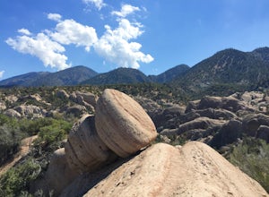
4.57.37 mi / 1870 ft gainWhat a hidden gem! A martian landscape full of faultline desert rock formations and joshua trees against a mountainous backdrop of the San Gabriels. Devil's Punchbowl Natural Area features a 1 mile well-marked, well-maintained single track loop trail inside the Punchbowl (great for kids) and a 7 ...Read more -
Marina del Rey, California
Ballona Lagoon
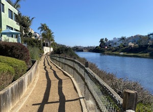
5.01.8 mi / 95 ft gainSuch a relaxing and beautiful stroll in the Marina Del Rey/Venice area! Park in Marina Del Rey #13 lot (4601 Vía Marina, Marina Del Rey, CA 90292). Don't forget to pay the meter! The rate as of 2021 is $0.50/15mins, or $6 for 24hrs on weekdays, and $8 for 24hrs on weekends. Once parked, walk ...Read more -
Los Angeles, California
Kayak the Marina Del Rey Harbor
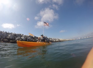
5.0The Marina Del Rey harbor covers 1.5 square miles making it the world’s largest small-craft harbor. Located southwest of Los Angeles, it is the homeport to nearly 6,500 local boats, ranging from small fishing boats, large private yachts, and even a multitude of unique houseboats. The harbor is ea...Read more -
Los Angeles, California
Venice Canals
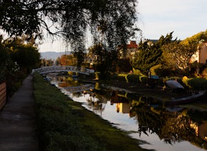
4.32.77 mi / 30 ft gainThe canals are a fun and quiet place to relax away from the hectic Venice boardwalk. Take a stroll through the canals or even get in a run! The reflections in the water are the main attraction and are great for photography. Spring, after some rain, is the best time to go as the water levels are g...Read more -
San Clemente, California
Beach Day at San Onofre
5.0This spot is no secret but it’s by far one of the best beaches California has to offer and has been regarded since the 1950s as a friendly surfing sanctuary. The beach is divided into three surf spots (named from North to South), known as “The Point,” “Old Man’s,” and “Dogpatch.” To access the be...Read more -
San Diego County, California
Camp On the Abandoned Santa Margarita Lookout Helipad
4.3Starting in Murrieta, CA you don't have to venture far to enjoy a beautiful view and less light polluted skies.From Murrieta on the I-15 freeway you're going to want to take the Clinton Kieth Road exit and head west. If you're low on gas make sure to fill up at the 7 Eleven on the left corner. Th...Read more

