Vista, California
Looking for the best photography in Vista? We've got you covered with the top trails, trips, hiking, backpacking, camping and more around Vista. The detailed guides, photos, and reviews are all submitted by the Outbound community.
Top Photography Spots in and near Vista
-
San Diego, California
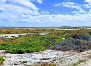
Hike to the beach at Border Field State Park
2 mi / 26 ft gainThe beach at Border Field State Park is southernmost beach in California. This beach begins (on US Maps) at the Mexican border and continues north to the mouth of the Tijuana River. The State Park shares its land with the Tijuana River National Estuarine Research Reserve which are both operated b...Read more -
Silverado, California
Hike to Black Star Canyon Falls
4.87.5 mi / 913 ft gainWaterfalls in Orange County are far and few between, with the best lying near and inside the Cleveland National Forest. Black Star Canyon Falls are some of the best just after a rain if you are heading out during a dry time of the season you should still expect to see some water. Free parking, ea...Read more -
Newport Beach, California
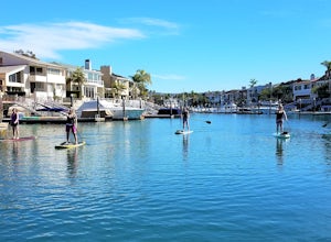
Stand Up Paddle around Balboa Island, Newport Beach
5.0Balboa Island, located in Newport Bay, is a fun destination on its own, but add a relaxing SUP to the mix and you’ve got yourself an adventure. There are two ways to get onto island: cross the Marine Avenue Bridge, or take the Balboa Island Ferry (directly inland from Balboa Pier and south of New...Read more -
Newport Beach, California
Newport Beach Back Bay Trail
4.010.62 mi / 499 ft gainThe Newport Beach Back Bay Trail features beautiful wildflowers and is open for use year round. Very minimal elevation gain makes this hike food for all skill levels, but be mindful of the distance. Dogs are allowed on the trail but must be kept on leash. Cooling sea breezes make this one of th...Read more -
Borrego Springs, California
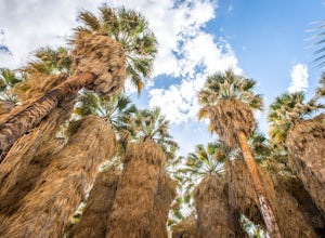
Hike through Borrego Palm Canyon
5.03.25 mi / 450 ft gainBorrego Palm Canyon Trail is located just north of the park visitor center, making it a convenient place to begin your exploration of the Anza-Borrego Desert. To reach the trailhead, drive through Borrego Palm Canyon Campground, the largest developed campground in the park, where an $8 day use fe...Read more -
Borrego Springs, California
Camping in Anza-Borrego State Park
5.0With over 600,000 acres, Anza-Borrego Desert State Park is the largest state park in the contiguous United States. 500 miles of dirt roads, 12 wilderness areas and miles of hiking trails provide visitors with an unparalleled opportunity to experience the wonders of the Colorado Desert. The park i...Read more -
Borrego Springs, California
Hike the Panorama Overlook in Anza Borrego Desert State Park
1.6 mi / 636 ft gainThis is an out and back 1.6 mile round trip with 636 feet of elevation gain. The top has excellent views of Anza Borrego. It is close to the visitor center.Read more -
Borrego Springs, California
Hike to Maidenhair Falls via Hellhole Canyon in Anza Borrego Desert State Park
5.1 mi / 974 ft gainThis 5.1 mile hike begins near the visitor center of Anza Borrego Desert State Park and gains 974 feet of elevation while climbing up a canyon to a small waterfall. It is an interesting hike as you can see the plant life change as you get closer to the waterfall. There are parts where the trail g...Read more -
Newport Beach, California
Newport Pier
4.9Newport Pier is located just south of Huntington Beach at the center of the Balboa Peninsula. Balboa Pier, the more crowded pier of Newport Beach, is nearby to the south. Thanks to the awesome weather of Southern California, there’s no reason this beach can’t be enjoyed all year long, which means...Read more -
Corona, California
Skyline Drive Trail
3.09.07 mi / 1946 ft gainThis trail is shared by hikers, mountain bikers and trail runners. Rock climbers can find areas to boulder off the trail. Bring lots of extra water as this trail is rather dusty and can get very hot. This is a good training hike for those looking to do some backpacking. The trail is open year-r...Read more -
San Diego County, California
Hike Garnet Peak Trail
3.02.6 mi / 500 ft gainWhile there are a few trail options, the designated Garnet Peak Trail begins off of Sunrise Highway at Mile Marker 27.8. There is a small pull-off on the east side of the road with a sign denoting the trail. An Adventure Pass is required for parking in this area of Cleveland National Forest.The f...Read more -
Banning, California
Lake Fulmor Loop Trail
5.00.53 mi / 89 ft gainLake Fulmor is a small lake in the San Jacinto Wilderness near Idyllwild, CA. The trail loops around the lake offering spectacular views and is good for all skill levels. There are picnic tables, grills, and a small dock where you can peer out over the lake or cast a line. To fish in Lake Fulm...Read more

