Three Rivers, California
Three Rivers, California is a great destination for an unforgettable outdoor experience. From scenic hikes to must-visit attractions, the area offers plenty of options for exploration. Top attractions include the Sequoia National Park, the Kaweah River, the Giant Forest Museum, and the General Sherman Tree. There are plenty of trails to explore, including the Trail of 100 Giants, the Mineral King Trail, and the Eagle View Trail. The area also offers plenty of opportunities for fishing, kayaking, and camping. With so much to discover, Three Rivers, California is a one of our top picks for outdoor adventures and relaxation.
Top Spots in and near Three Rivers
-
Inyo County, California
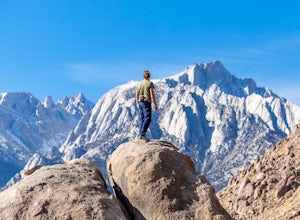
Meysan Lakes Trail
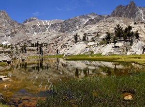
9.23 mi / 3724 ft gainMeysan Lakes Trail is located on the ever popular Whitney Portal Road. Park on the side of the road next to the Whitney Portal Campground. Start the hike by cutting through the campground, and passing some seasonal cabin style residences. Follow the Meysan Lakes Trail signs. The trail cuts throu...Read more -
Camp Nelson, California
Fly Fish the Kern River above the Johnsondale Bridge
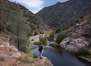
5.04 mi / 100 ft gainCheck in at the local fly fishing shop in Kernville to check the latest status, then continue up the 20 mile stretch of Mountain Hwy 99 until you cross the Johnsondale Bridge. Park, pack, then begin your 30-45 minute hike up the trail before setting your rod.After you're finished, stop by the Ker...Read more -
Seven Pines, California
Mt. Williamson via Shepherd Pass
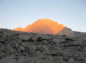
5.026.66 mi / 10653 ft gainThis trail starts at the lowest, and generally regarded hardest, trailhead in the Southern Sierras. You quickly gain elevation in what many describe as manageable but relentless. The first section of the hike has nice shade and adequate water access. Very enjoyable company to boot! Once you cros...Read more -
Lone Pine, California
Hike to The Tuttle Creek Ashram
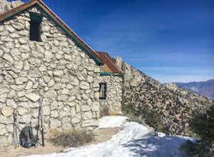
4.33 mi / 1500 ft gainThe Tuttle Creek Ashram is an abandoned stone building, "church" or place of enlightenment tucked away in the beautiful Eastern Sierra. Sitting at an elevation around 8000 feet, construction on the beautiful building was first started in 1928. The building took 20 years of hard manual labor to fi...Read more -
Inyo County, California
Backpack Mount Langley
5.021 mi / 4000 ft gainMt. Langley sits four hours north of Los Angeles and is one of the easier 14ers to bag in California. Mt. Whitney absorbs most of the foot traffic, so enjoy the relative quiet and seclusion.The trailhead starts at Horseshoe Meadows/Cottonwood Lakes Trailhead Campgrounds and meanders for 7.5 miles...Read more -
Inyo County, California
Camp at Lone Pine Campground
4.0The Lone Pine Campground is located 6 miles west of Lone Pine California, and 7 miles east of Mt Whitney Portal. The campsite is nestled next to Lone Pine Creek, which is the perfect place to fish for Sierra Nevada trout. The campground sits at 6,000 feet and in clear view of Mt. Whitney, the hig...Read more -
Fresno County, California
John Muir Trail: Camping at Pinchot Pass
After the mild, but not negligible, 1000 ft ascent into Pinchot Pass, you'll be ready to rinse off the grime and take a rest. There are a few options for lakeside camping along the trail like Twin Lakes and an unnamed lake on the west side of the trail just beyond.This is a cool area because the ...Read more -
Lone Pine, California
Camp at Tuttle Creek Campground
4.5Tuttle Creek Campground is a beautiful place to camp during any time of year. The campground offers uninterrupted breath taking views of the entire Eastern Sierra Nevada and Owens Valleys. Whether you are looking for a place to crash for the night while traveling down the 395, rock climbing in th...Read more -
Shaver Lake, California
Camp at Voyager Rock Campground
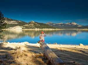
4.0The paved road ends at the Maxson Trailhead parking lot on the SE side of Courtright Reservoir. The adventure starts with a glance to the left, down a rock-strewn dirt track that leads off further into the wilderness. You're wondering, "Is that the trail?" and "Do I dare?"The Dusy-Ershim Trail of...Read more -
Kernville, California
Dispersed Camp along Salmon Creek in Sequoia NF
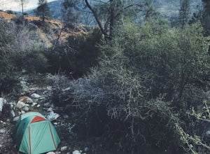
There are several dispersed campsites found throughout the Sequoia National Forest. The majority can be found by driving on any of the OHV accessible roads. This particular campsite can be found at coordinates 35.89759, -118.4628. In order to get to the campsite, use Google Maps to get you to the...Read more -
Inyo County, California
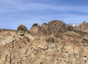
Camp in the Alabama Hills
4.8The Alabama Hills Recreation Area is a area owned by BLM and open to the public. Camping is free and you can say for a max of 14 days.The are has 100+ open desert sites that are shadowed by some of the tallest peaks in the Sierra Nevada range. And if that wasn't enough, the area was the backdrop ...Read more -
The Mobius Arch Loop Trailhead, California
Mobius Arch Loop
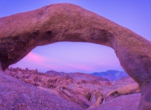
4.40.63 mi / 46 ft gainThe Alabama Hills area of Lone Pine, CA is located on the eastern side of the Sierra Nevadas. As you drive along Movie Flat Road you will be surrounded by a sea of golden brown boulders of varying shapes and sizes extending in every direction. The main attraction in Alabama Hills is definitely th...Read more -
Lone Pine, California
Explore The Heart Arch
A small heart shaped arch naturally formed in the bounders at The Alabama Hills, at the foothills of the Sierras. The Alabama Hills are formation of rounded rocks near the eastern Slope of the Sierra Nevada in the Owens Valley. It is a popular filming location for movie and television show produ...Read more -
Lone Pine, California
Rock Climb the Candy Store
The Candy Store is a group of boulders and small spires with around 30 climbing routes ranging from 5.6 to 5.11. The majority are trad routes with a significant portion toprope and a couple of sport. The major features/boulders are: First BoulderThe GumdropLollipop BoulderRock Candy TowerSecond B...Read more -
Lone Pine, California
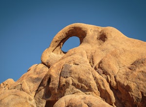
Photograph Eye of the Alabama Hills Arch
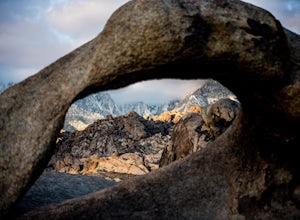
3.50.4 miThe Eye of the Alabama Hills Arch is a quick hike or drive from the popular Mobius Arch just off Movie Flat Road. The rocks around the arch offer outstanding views of the surrounding Alabama Hills and Sierra Mountains. To get to the arch follow the directions for Mobius Arch which is a great firs...Read more -
Independence, California
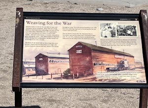
Manzanar Japanese Relocation Site: Manzanar Trail
5.02.22 mi / 112 ft gainManzanar Japanese Relocation Site: Manzanar Trail is a loop trail that takes you past scenic surroundings located near Independence, California.Read more

