Thousand Palms, California
The best Trails and Outdoor Activities in Thousand Palms, California are a must-visit for those seeking outdoor adventures. The Coachella Valley Preserve is a top attraction, offering scenic hiking trails that take you through a palm oasis and unique desert landscapes. The Pushawalla Palms Loop Trail is a moderate difficulty hike that rewards you with views of the San Andreas Fault and sightings of wildlife. The McCallum Trail is an easier option, perfect for families, leading to a hidden pond. The Thousand Palms Oasis Preserve is a gem, with trails leading to a lush palm grove and tranquil pond. For rock climbers, Painted Canyon is a nearby spot offering a labyrinth of rock formations. Remember to pack your binoculars for bird-watching! These are just a few examples of the outdoor activities available in and near Thousand Palms.
Top Spots in and near Thousand Palms
-
Twentynine Palms, California
Camp at Cottonwood Campground in Joshua Tree NP
5.0The Cottonwood Campground is roughly 40 minutes south of the main attractions in Joshua Tree on Pinyon Canyon Rd and is located right next to the visitor center The biggest advantage of this site is that it is less popular than many of the other sites in Joshua Tree. It also has potable water and...Read more -
Twentynine Palms, California
Hike the Mastadon Peak Loop
5.02.3 mi / 331 ft gainThe trail is typically used for hiking, nature trips, and trail running. There are lots of opportunities to see desert plants and flowers. On clear days, you can see the Salton Sea. There is an old mine to explore from the outside, as the entrance has been sealed. If you plan on going to the top...Read more -
Twentynine Palms, California
Explore Cottonwood Spring
Just east of the Cottonwood Visitor Center. This scenic spot provides access to cottonwood spring. The spring is a short walk down from the parking lot, and was formed from earthquakes! It was a popular spot for natives and settlers to gather water back in the day. As you approach the springs you...Read more -
Mecca, California
Camp at the Salton Sea
4.0The Salton Sea State Recreation Area is a good place to camp. It has bathrooms with running water and showers. There are 3 options for camping RV camping with hookups is $30 per night. Tent camping at New Camp (on the map to the right) or Mecca Beach is $20 per night. One can also camp at a more ...Read more -
Landers, California
Explore Giant Rock
This is an adventure that my wife and me have been wanting to do for a while now. We finally decided to make the 30 minute journey out to Landers from Yucca Valley. There are quite a few points of interest along the way, but that is a story for another adventure.Giant Rock is 5.2 miles northwest ...Read more -
Angelus Oaks, California
South Fork to Dollar Lake Trail
11.3 mi / 2999 ft gainSouth Fork to Dollar Lake Trail is an out-and-back trail that takes you by a lake located near Banning, California.Read more -
Borrego Springs, California
Fonts Point
4.58.02 mi / 551 ft gainThe best time to go to Fonts point is right before the sun sets. It is located in the desert, so be sure to dress warmly and bring a blanket or two. In order to get to Fonts Point, you'll have to drive through roughly 4 miles of sand and rocks (8-miles roundtrip). 4x4 is strongly recommended, bu...Read more -
Angelus Oaks, California
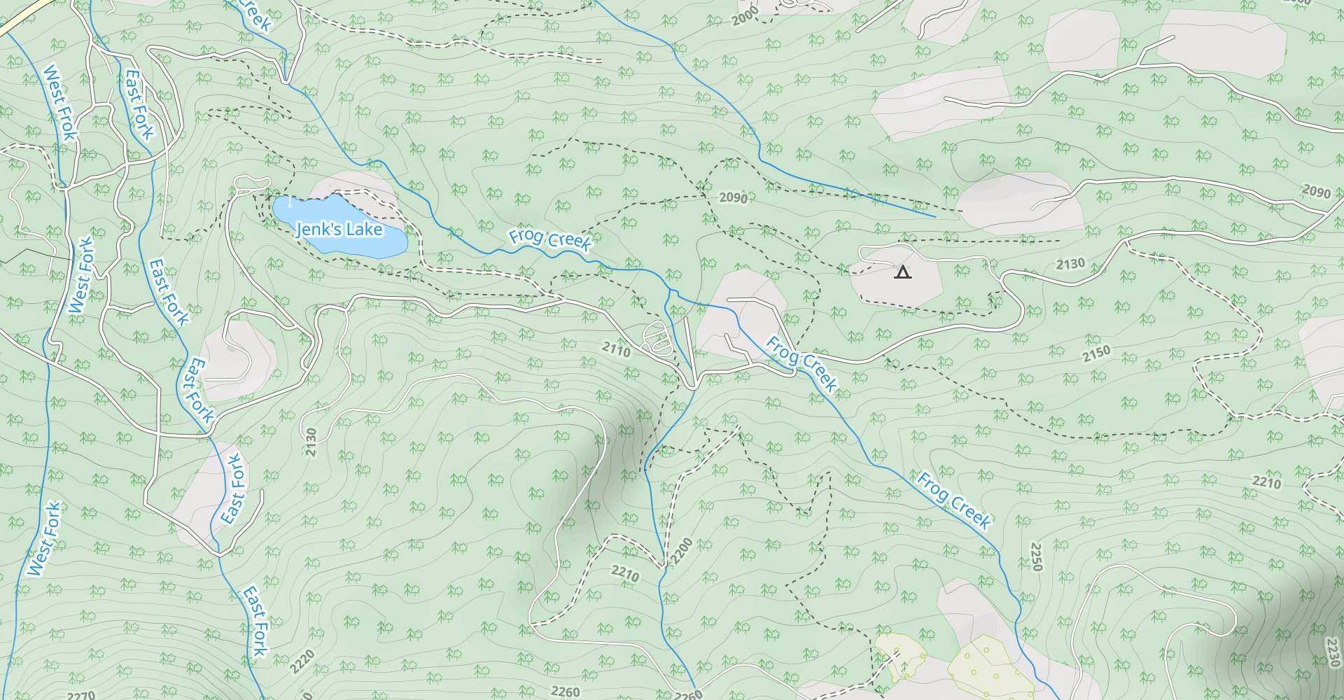
Jenks Lake
4.00.77 mi / 49 ft gainIf you want to experience beauty and solitude in SoCal look no further than Jenks Lake. Not too far from Big Bear Lake, but secluded enough to keep most away in the winter, Jenks Lake is a small but lovely alpine lake near HWY 38 in Angelus Oaks. Driving to the lake is beautiful in itself as HWY...Read more -
Borrego Springs, California
Anza Borrego Metal Sculptures
4.6Here's a map I made that marks where most of the sculptures are (here). First, you enter the park and drive through the little city of Borrego Springs. There will be a roundabout you can't miss, so you know you're on the right path. There is nowhere to park to get to the sculptures specifically,...Read more -
Borrego Springs, California
Borrego Palm Canyon
5.02.73 mi / 558 ft gainBorrego Palm Canyon Trail is located just north of the park visitor center, making it a convenient place to begin your exploration of the Anza-Borrego Desert. To reach the trailhead, drive through Borrego Palm Canyon Campground, the largest developed campground in the park, where an $8 day use fe...Read more -
Borrego Springs, California
Camping in Anza-Borrego State Park
5.0With over 600,000 acres, Anza-Borrego Desert State Park is the largest state park in the contiguous United States. 500 miles of dirt roads, 12 wilderness areas and miles of hiking trails provide visitors with an unparalleled opportunity to experience the wonders of the Colorado Desert. The park i...Read more -
Borrego Springs, California
Hike the Panorama Overlook in Anza Borrego Desert State Park
1.6 mi / 636 ft gainThis is an out and back 1.6 mile round trip with 636 feet of elevation gain. The top has excellent views of Anza Borrego. It is close to the visitor center.Read more -
Borrego Springs, California
Maidenhair Falls via Hellhole Canyon Trail
5 mi / 1060 ft gainThis 5.1 mile hike begins near the visitor center of Anza Borrego Desert State Park and gains 974 feet of elevation while climbing up a canyon to a small waterfall. It is an interesting hike as you can see the plant life change as you get closer to the waterfall. There are parts where the trail g...Read more -
Angelus Oaks, California
San Bernardino Peak
3.015.82 mi / 4911 ft gainThe San Bernadino Peak Trail out of Angelus Oaks is a very challenging hike, which can either be done as a day hike or an overnight trip. Free permits are required for day hiking and overnights in the San Gorgonio Wilderness. These permits can be accessed via Sgwa.org/permits. If you choose to ...Read more -
Forest Falls, California
Summit Mt. San Bernardino from Angelus Oaks
16 mi / 4775 ft gainThe trailhead is somewhat 'interesting' to get to given the dirt roads are in questionable shape and some of the roads in Angelus Oaks are not easily identifiable but I didn't have any problems finding it by closely following Google Maps. Trailhead parking requires an Adventure Pass parking pe...Read more -
Warner Springs, California
Eagle Rock via the Pacific Crest Trail
5.06.2 mi / 807 ft gainWith doing more hikes in the SoCal area, I've realized half the battle is just trying to find the damn trailhead.Technically you have 2 ways to enter this trail ... Start from 79 and add a very enjoyable extra 3ish miles, or start from the Warner Springs Fire Station, for a total 7 mile hike.We c...Read more