Thousand Palms, California
Looking for the best hiking in Thousand Palms? We've got you covered with the top trails, trips, hiking, backpacking, camping and more around Thousand Palms. The detailed guides, photos, and reviews are all submitted by the Outbound community.
Top Hiking Spots in and near Thousand Palms
-
Twentynine Palms, California
Boy Scout's Trail in Joshua Tree
4.516.12 mi / 1539 ft gainThe Boy Scout trail connects the main part of the National Park to the outer rim campground, Indian Cove Campground. All backcountry overnight trips must be registered at a registration board (free, self-registration). Start this trip at the registration board located in either Indian Cove Campgr...Read more -
Twentynine Palms, California
Fortynine Palms Oasis Trail
5.03.08 mi / 653 ft gainJust off highway 62 lies an easy 1/2 day hike with incredible views of the Morongo Valley. Though technically part of the park, the out-of-the-way-ness of the hike means you don't need to pay the $20 National Park fee. Parking is ample, and there's a pit toilet at the trailhead (beware of bees an...Read more -
Mecca, California
Ladder Canyon in Mecca Hills
5.04.43 mi / 1119 ft gainLadder Canyon is a hike that involves climbing ladders and walking through canyons up to great views on the Mecca Hills and Salton Sea. From Box Canyon Road turn on to Painted Canyon Road a dirt road that will lead you to the trailhead. From the trailhead start into the canyon. After a few hundr...Read more -
Riverside County, California
Painted Canyon Loop
5.04.8 mi / 974 ft gainTake Box Canyon Rd to Painted Canyon Road. Painted Canyon Road is a dirt road, so exercise caution. The road dead ends at the Painted Canyon Trailhead parking lot. Once on the trail, look out for markers and arrow rock piles pointing to the slot canyons and other trails. Some climbing is necessa...Read more -
Mecca, California
Ladder Canyon and Painted Canyon Loop
5.04.43 mi / 1119 ft gainFrom Interstate 10, take State Highway 195 (Box Canyon Road) to Painted Canyon Road. This well-maintained, dirt road goes for about 4 miles and leads into the sandy wash which runs the length of the canyon for approximately 1.7 miles. There are a few narrow side canyons which can be explored on f...Read more -
Riverside County, California
Cholla Cactus Gardens
4.40.25 mi / 0 ft gainThe Cholla Cactus Garden is something everyone can appreciate and enjoy. The trail is in total about a 0.25 loop, but you are certainly free to wander around more. Plan on spending at least 30 minutes to an hour enjoying the scenery. If you are a photographer, you will be enthralled by the light...Read more -
San Diego County, California
Hike Sheep Canyon
5.02.71 mi / 732 ft gainSheep Canyon is probably the most remote palm canyon in Anza-Borrego Desert State Park in California. While Palm Canyon is easily accessed from the State Park campground, Sheep Canyon is on a dirt road that requires stream crossings and potentially a high-clearance 4WD vehicle. The canyon is na...Read more -
Forest Falls, California
Mt. San Gorgonio via Vivian Creek
4.717.83 mi / 5627 ft gainA hiking permit is required to hike in the San Gorgonio Wilderness. Apply for the permit early as the Vivian Creek Trail is the second most popular trailhead for the area and quotas fill up in advance. The permits are free and the entire process can be handled via fax or mail. All the information...Read more -
Twentynine Palms, California
Camp at Cottonwood Campground in Joshua Tree NP
5.0The Cottonwood Campground is roughly 40 minutes south of the main attractions in Joshua Tree on Pinyon Canyon Rd and is located right next to the visitor center The biggest advantage of this site is that it is less popular than many of the other sites in Joshua Tree. It also has potable water and...Read more -
Twentynine Palms, California
Hike the Mastadon Peak Loop
5.02.3 mi / 331 ft gainThe trail is typically used for hiking, nature trips, and trail running. There are lots of opportunities to see desert plants and flowers. On clear days, you can see the Salton Sea. There is an old mine to explore from the outside, as the entrance has been sealed. If you plan on going to the top...Read more -
Twentynine Palms, California
Explore Cottonwood Spring
Just east of the Cottonwood Visitor Center. This scenic spot provides access to cottonwood spring. The spring is a short walk down from the parking lot, and was formed from earthquakes! It was a popular spot for natives and settlers to gather water back in the day. As you approach the springs you...Read more -
Angelus Oaks, California
South Fork to Dollar Lake Trail
11.3 mi / 2999 ft gainSouth Fork to Dollar Lake Trail is an out-and-back trail that takes you by a lake located near Banning, California.Read more -
Angelus Oaks, California
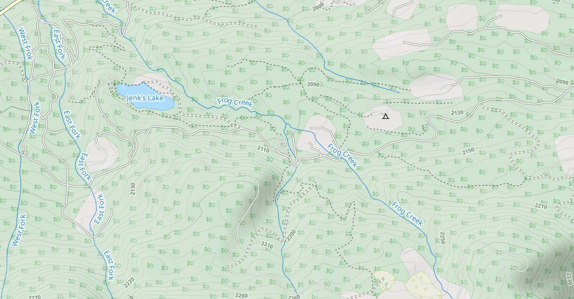
Jenks Lake
4.00.77 mi / 49 ft gainIf you want to experience beauty and solitude in SoCal look no further than Jenks Lake. Not too far from Big Bear Lake, but secluded enough to keep most away in the winter, Jenks Lake is a small but lovely alpine lake near HWY 38 in Angelus Oaks. Driving to the lake is beautiful in itself as HWY...Read more -
Borrego Springs, California
Borrego Palm Canyon
5.02.73 mi / 558 ft gainBorrego Palm Canyon Trail is located just north of the park visitor center, making it a convenient place to begin your exploration of the Anza-Borrego Desert. To reach the trailhead, drive through Borrego Palm Canyon Campground, the largest developed campground in the park, where an $8 day use fe...Read more -
Borrego Springs, California
Camping in Anza-Borrego State Park
5.0With over 600,000 acres, Anza-Borrego Desert State Park is the largest state park in the contiguous United States. 500 miles of dirt roads, 12 wilderness areas and miles of hiking trails provide visitors with an unparalleled opportunity to experience the wonders of the Colorado Desert. The park i...Read more -
Borrego Springs, California
Hike the Panorama Overlook in Anza Borrego Desert State Park
1.6 mi / 636 ft gainThis is an out and back 1.6 mile round trip with 636 feet of elevation gain. The top has excellent views of Anza Borrego. It is close to the visitor center.Read more