Thousand Oaks, California
Looking for the best chillin in Thousand Oaks? We've got you covered with the top trails, trips, hiking, backpacking, camping and more around Thousand Oaks. The detailed guides, photos, and reviews are all submitted by the Outbound community.
Top Chillin Spots in and near Thousand Oaks
-
Los Angeles, California
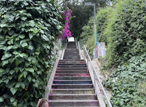
Micheltorena Stairs
3.00.19 mi / 75 ft gainI preferred the steps, before anything was painted on them. Whoever thought it would be a great idea to do that was wrong. No upkeep and these stairs have been heavily vandalized. The steps are a series of stairways you will find throughout Silver Lake and neighboring areas. They facilitated peo...Read more -
Los Angeles, California
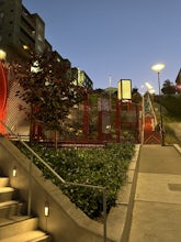
Piano Mural Staircase aka “Murray Staircase”
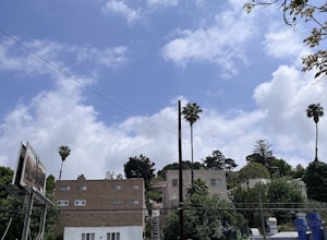
5.00.08 mi / 69 ft gainThe “Piano Stairs” is a stair mural in Silver Lake neighborhood section of LA. Not to be confused with the “Music Box” staircase that is close by. These 90 steps were painted to look like the piano keyboard by the artist Carrey. Great for a cardio workout and not as creepy as some of the stairs h...Read more -
Ojai, California
Piedra Blanca Formations
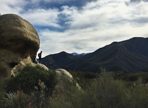
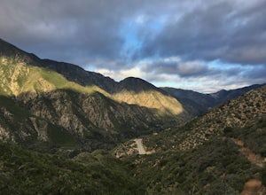
5.05.41 mi / 860 ft gainThese white sandstone formations, splitting out of the forest, are a worthwhile sight as you climb up to gain a great vantage point of the valley. Spend some time exploring the rocks - the nooks & crannies are full of surprises. You can turn this into an overnighter by staying at the campgrou...Read more -
Los Angeles, California
Echo Park Lake
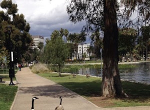
3.00.98 mi / 0 ft gainEcho Park Lake in Los Angeles has a loop that is about 1 mile around. It’s a pretty busy park, that has ducks and geese everywhere. Beautiful lotus blossoms and iris flowers in the lake. Generally flat and one tiny incline that can easily be avoided. You can also rent swan paddleboats that light ...Read more -
Los Angeles, California
Vista Hermosa Natural Park
4.20.58 mi / 36 ft gainVista Hermosa Natural Park is part of the Santa Monica Mountains Conservancy and the Mountains Recreation and Conservation Authority. Located in the western gateway to Downtown Los Angeles, it’s very easy to drive by this hidden gem if you’re not looking for it. This park is the perfect mix of ur...Read more -
Glendale, California
Beaudry Loop
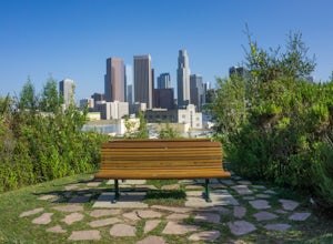
5.79 mi / 1572 ft gainThe Beaudry Loop trail features a bench at the top with 360 degree views of the greater LA area. The trailhead is a little hidden on Beaudry Blvd. As Beaudry Blvd turns into Beaudry Terrace, you'll see cars parked at the paved trailhead. There is very little shade on the trail so bring ample sun...Read more -
Ojai, California
Climb at Wheeler Gorge
Grab a dozen quick draws, your 60m rope, and head up Highway 33 out of Ojai for 7 miles (One of the routes here describes the crag perfectly, a Riparian Daydream). Drive through one tunnel, and continue on for another mile or two until you reach two tunnels in quick succession. The crag is in bet...Read more -
Glendale, California
Nibley Park
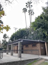
5.0Nibley Park is a small and secluded park with lots of trees and green area. There are a number of picnic tables and a restroom, that is ADA compliant. The playground is small but two separate play areas that are marked for their specific ages for young kids to have fun. There is also a half court...Read more -
Los Angeles County, California
Trail Canyon Falls
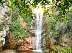
4.04.56 mi / 1017 ft gainTo get to the trail, take Big Tujunga Canyon Road until you see signs for Trail Canyon Road. The entry point is easy to miss, but keep an eye out for a stop sign and cars parked at the bottom of a dirt path. Drive up the dirt path for direct parking at the trailhead (4x4 is definitely recommended...Read more -
Los Angeles, California
Ord & Yale Street Park
4.0Recently opened in 2021, right behind the LA Library in Chinatown, you’ll find this secret gem, tucked away in the corner. Covered picnic tables, with checkerboard game boards in place, and all gender bathrooms with changing tables for the little ones. Two play areas as well as a small climbing w...Read more -
Los Angeles, California
Secret Swing in Elysian Park
4.20.16 mi / 360 ft gainFor the most direct directions to the swing, plug in "Swing on top of Elysian Park" into google maps, which will take you directly to the trailhead. If you want to do it the more old fashion way, the swing is on top of a hill at the intersection of Angels Point Drive and Park Row Drive in Elysian...Read more -
Palos Verdes Estates, California
Bluff Cove
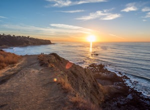
4.40.56 mi / 144 ft gainParking for Bluff Cove is located along the sides of the street of Paseo Del Mar, and the trailhead is located right next to the street. Bluff Cove is one of those unique locations in that there are a variety of activities you can do here. It is a great location for surfing, paddle boarding, bod...Read more -
Los Angeles County, California
Big Tujunga Canyon Lookouts
1.22 mi / 453 ft gainPark at the Condor Peak Trailhead, please note that this trail head is unmarked so keep your eyes peeled on the right side of the turnout for a small single track trail. The trail gradually climbs along the side of the canyon until reaching a 4 way intersection. To your left and to your right wil...Read more -
Agua Dulce, California
Vasquez Rocks
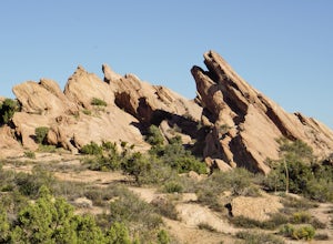
5.02.42 mi / 367 ft gainThis is a Natural Park Area located in Santa Clarita, within the Sierra Pelona Mountains. It features amazing diagonal rock formations, created because of the force between two tectonic plates pushing against each other. This place is a photographer's paradise, and every spot in this 900+ acre l...Read more -
Los Angeles, California
City View and Walnut Forest Trails Loop
4.02.59 mi / 568 ft gainThe City View and Walnut Forest Trails in Ernest E. Debs Regional Park are just outside of downtown Los Angeles, and are perfect for all abilities. The trails are most commonly used by dog walkers, trail runners, mountain bikers and families. The top of the hike features a unique pond. Dogs are a...Read more -
La Cañada Flintridge, California
Teepee Trail
5.02.55 mi / 1145 ft gainHidden in the small community of La Canada, California, the trailhead is pretty hidden! From the 210, take the exit for Highway 2/Angeles Crest Highway. Head north (towards the mountains) for about a mile. As the highway begins to curve, you will come across a small side-street, Harter Lane. Turn...Read more

