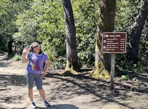
Stanford, California
Stanford Dish Loop is a top hiking trail in Stanford, California. This 3.7-mile loop offers scenic views of the Stanford campus, Silicon Valley, and the San Francisco Bay. The trail is moderately difficult with some steep inclines and descents. It's known for its large satellite dish and wildlife spotting, including deer and birds. For a more challenging hike, head to Windy Hill Open Space Preserve. It's a must-visit for its 360-degree views from the summit. The trail is 7.2 miles and features a variety of landscapes, from dense forests to open grasslands. Here, you'll encounter creeks, a waterfall, and unique rock formations. Stanford's outdoor adventures aren't limited to hiking. The Palo Alto Baylands Nature Preserve, near Stanford, is perfect for bird watching, kayaking, and photography.
Top Spots in and near Stanford
-
Felton, California
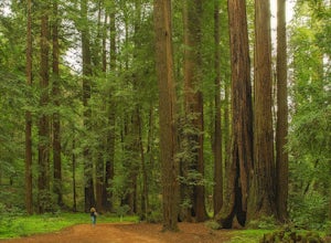
Redwood Grove Loop
4.00.93 mi / 144 ft gainHenry Cowell Redwoods State Park is located just a few miles north of the city of Santa Cruz, along Highway 9. The park is home to an array of hiking and biking trails, but the crown jewel of the park is the Redwood Grove Loop Trail, which is only a 1/4 mile in from the park's entrance. Many peo...Read more -
Felton, California
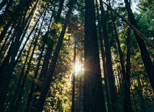
Observation Deck Loop in Henry Cowell Redwoods SP
4.35.3 mi / 869 ft gainThe trail starts at the Henry Cowell Redwoods State Park Visitors Center. Grab a map in the center, as your hike has you turning onto a few different trails to get to the observation deck. Starting at the Redwood Grove Loop Trail, follow the trail until it connects with the Pipeline Road Trail ...Read more -
San Francisco, California
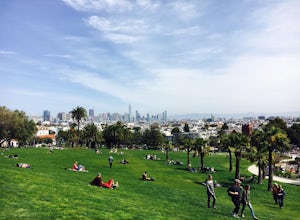
Park Day at Dolores Park
4.0If the sun is shining, and you’re in the mood for playing around with friends in one of SF’s many amazing parks, Dolores should be at the top of your list. With amazing views of downtown, huge tiered lawn areas, tennis courts, basketball courts, a brand new playground, and easy access to some of ...Read more -
San Francisco, California
Fort Funston Trail
4.71.81 mi / 253 ft gainFort Funston is an SF gem I discovered when looking for a dog friendly hike near the city. Located west of Lake Merced, you'll find a gorgeous Northern California beach oasis where you and your dog can run wild and free :). Parking is located at the top of the park where you'll descend a steep se...Read more -
San Francisco, California
Catch a Sunset at Twin Peaks
4.6Most locals have heard of Twin Peaks, so if you hop in an Uber or Taxi you should be just fine. If not or you are driving yourself, head for Twin Peaks Boulevard, then just follow it to the top. Voila!When you're there, be sure to catch a sunset, as it is absolutely breath-taking, If you are luck...Read more -
San Francisco, California
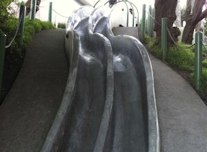
Take a Ride on the Seward Street Slides
4.2Tucked away in a small neighborhood park in Eureka Valley is a set of really fun, slippery, and surprisingly steep concrete slides. They were originally designed by a 14 year old kid over 30 years ago, and we all owe him a big hat tip. People use a variety of sliding materials (saucers, food tray...Read more -
Livermore, California
Hike to Murietta Falls
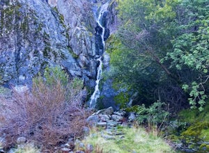
4.012 mi / 4175 ft gainGet ready for one of the toughest, lung busting hikes in the east bay with over 6-miles and 4,000ft of climbing in one direction. When you make it to the hike, it's also important to realize that without recent rain, there many not actually be a waterfall. With that said, you're still getting in ...Read more -
San Francisco, California
Tank Hill
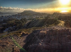
4.30.14 mi / 49 ft gainLooking for a cool, under-the-radar spot that’s perfect for picnics, chilling out, and chasing the sunset? Look no further than Tank Hill. This little gem of a mini-park is 650 feet high and tucked away in Cole Valley. It’s so small that many maps of San Francisco don’t even include it. To get ...Read more -
San Francisco, California
Twin Peaks Loop
4.02.04 mi / 259 ft gainThere are a ton of ways to get here (and obviously that can affect the total distance) but this is starting from Clarendon. Follow along up Twin Peaks boulevard where you'll see the peaks upon your approach. Keep an eye out for traffic as there may be visitors driving toward and away from Twin Pe...Read more -
San Francisco, California
Corona Heights Park
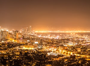
5.00.65 mi / 115 ft gainCorona Heights Park is a park located north of the Castro and South of Buena Vista Park. The peak of the hill is windy, but it offers an unobstructed panoramic view of the city of San Francisco from downtown to Twin Peaks. It is perfect for taking panoramic pictures of San Francisco at night. Y...Read more -
San Francisco, California
Vulcan Steps
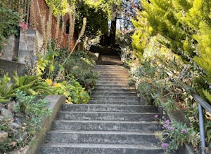
5.00.18 mi / 79 ft gainVulcan Steps is an out-and-back trail that takes you past scenic surroundings located near San Francisco, California.Read more -
Moraga, California
Bollinger Creek Loop Trail
1.43 mi / 213 ft gainLas Trampas Regional Wilderness offers an extensive trail system for hikers, horseback riders and mountain bikers. The trail is open year round and dogs are allowed. The Las Trampas and Bollinger faults spread apart to reveal a wonderful wilderness area with ancient remnants of beaches. The entir...Read more -
San Francisco, California
Climb Beaver Street Wall
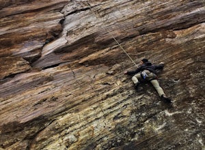
5.0Beaver Street Wall is one of the few places to climb in the San Francisco city limits. The 45 ft. tall wall is located in the Corona Heights neighborhood, just north west of Market St. The routes on the wall range from 5.8 to 5.12. The wall features a prominent crack up the center, which makes th...Read more -
Livermore, California
Paddle Lake Del Valle
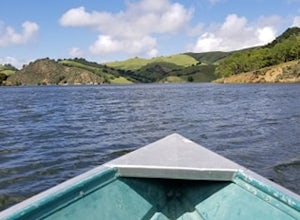
4.0Lake Del Valle is a reservoir located in Livermore, California. The lake has boat motor boats, pedal boats, patio boats, canoes, and row boats available for rent. There is a dock and rental house in the marina.The lake is also a popular destination for picnics, barbecues, and camping. Parking fi...Read more -
Livermore, California
Del Valle Regional Park
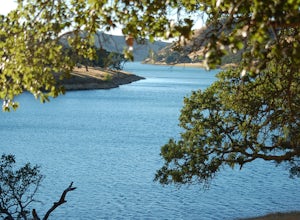
4.0Looking for a quick summer escape filled with stand up paddling, canoeing, fishing, hiking, and picnics? Look no further than Del Valle Regional Park. Consistently considered one of the best campgrounds in the Bay Area, the centerpiece of Del Valle is a 5-mile long lake that allows swimming, fish...Read more -
Santa Cruz County, California
Camp at Henry Cowell Redwoods Campground
4.8/ 665 ft gainNestled in the Santa Cruz Mountains, Henry Cowell Redwoods State Park is a great weekend option for Bay Area residents. With approximately 30 miles of hiking trails, the incredible Garden of Eden swimming hole, and proximity to Santa Cruz - this campground is not to be missed! On sunny days, view...Read more

