Silverado, California
Looking for the best hiking in Silverado? We've got you covered with the top trails, trips, hiking, backpacking, camping and more around Silverado. The detailed guides, photos, and reviews are all submitted by the Outbound community.
Top Hiking Spots in and near Silverado
-
Los Angeles, California
Griffith Park Old Zoo Loop
4.02.52 mi / 666 ft gainThe Griffith Park Old Zoo Loop is a 2.52-mile moderately trafficked loop trail located in Griffith Park, Los Angeles. Due to its length and minimal elevation gain of ~670 feet, the hike is open to all skill levels. The trail is primarily used for walking, hiking, and trail running, The Griffith P...Read more -
Los Angeles, California
Mount Hollywood via the Fern Canyon Trail
5.05.02 mi / 1581 ft gainAt 1,625 feet Mt Hollywood is the second highest point in Griffith Park and provides picturesque views of the Hollywood Sign, Griffith Park Observatory, Downtown Los Angeles and the San Gabriel Mountains. The hike to the Mt Hollywood Summit begins on the northeast side of Griffith Park near the ...Read more -
Los Angeles, California
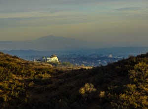
Ferndell to the West Observatory Loop Trail to Griffith Observatory
4.52.63 mi / 587 ft gainThe Ferndell to Griffith Observatory trail in Los Angeles, California is a moderate difficulty, 2.63-mile loop trail. The trail starts at Ferndell Nature Museum, a small museum with a garden and picnic area. The trail then ascends through a shaded canyon, with a small stream running alongside. ...Read more -
Los Angeles, California
Mount Hollywood Trail
5.02.49 mi / 505 ft gainMount Hollywood Trail is a loop with scenic views of Griffith Park located in Los Angeles, California. There are multiple ways to reach the summit of Mount Hollywood, including via Mount Hollywood via Fern Canyon Trail (5-mile loop) starting near the merry-go-round. This route is one of the most ...Read more -
La Cañada Flintridge, California
Teepee Trail
5.02.55 mi / 1145 ft gainHidden in the small community of La Canada, California, the trailhead is pretty hidden! From the 210, take the exit for Highway 2/Angeles Crest Highway. Head north (towards the mountains) for about a mile. As the highway begins to curve, you will come across a small side-street, Harter Lane. Turn...Read more -
Los Angeles, California
Kenneth Hahn Recreation Area Loop
2.85 mi / 328 ft gainThe Kenneth Hahn Recreation Area is just outside of downtown LA, a perfect location for hiking, trail running, and biking. The trail loops up to the top of a hill, where hikers get sweeping views of LA. Dogs are allowed, but must be kept on leash. This is also a great location for trail running...Read more -
Los Angeles, California
West Trail Loop
4.31.85 mi / 463 ft gainThe trail starts near Dell Picnic area, near the Trails Cafe. On this wide fire road, you can choose to run or hike, but don't expect to have the trail to yourself, especially if you're heading out on the weekend. With that said, you can time your run or hike around sunset and get amazing views b...Read more -
Altadena, California
Gabrieleno Trail: Switzer Falls to Hahamonga Watershed
5.010.14 mi / 814 ft gainGabrieleno Trail: Switzer Falls to Hahamonga Watershed is a point-to-point trail that takes you by a waterfall located near La Canada Flintridge, California.Read more -
Los Angeles County, California
Switzer Falls
3.43.66 mi / 728 ft gainJust off the Angeles Crest highway, you’ll find one of LA’s best waterfalls, Switzer Falls. There is a parking lot just next to the trailhead. If you go on the weekend and run into a crowd, there’s parking near the highway, adding a little distance to your trek. Once you’ve walked through the Sw...Read more -
Los Angeles County, California
Bear Canyon via Switzer Falls Trailhead
6.67 mi / 1273 ft gainParking: Parking is available at the Switzer Falls Picnic Area, or in the two overflow lots on the hill. You will need an Adventure Pass to leave your car parked here. Make sure to follow posted signs - there are some parking spots that do not allow overnight parking. Amenities: Bear Canyon has...Read more -
Los Angeles, California
Glendale Peak via Henry's Trail
4.02.07 mi / 915 ft gainGlendale Peak is often passed over by people hiking to Mt. Hollywood, and while it is not as high as its neighbor summit, it boasts arguably better views that you will enjoy all to yourself. While not really a full hiking trail and more of a small detour, Henry's Trail is worth the small uphill c...Read more -
Glendale, California
Beaudry Loop
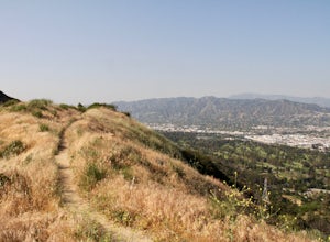
5.79 mi / 1572 ft gainThe Beaudry Loop trail features a bench at the top with 360 degree views of the greater LA area. The trailhead is a little hidden on Beaudry Blvd. As Beaudry Blvd turns into Beaudry Terrace, you'll see cars parked at the paved trailhead. There is very little shade on the trail so bring ample sun...Read more -
Pearblossom, California
Camp at Horse Flats Campground
3.0The Horse Flats Campground is located 29 miles up Highway 2 from Interstate 210. You will turn left at the Santa Clara Divide Road(this intersection is also known as 3 Points). 3 miles down the road you will turn left to enter the campground. I have camped here a few times and its always been pre...Read more -
Los Angeles, California
Hollywood Sign via Brush Canyon Trail
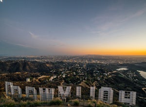
4.65.04 mi / 1155 ft gainGetting to the parking lot near the trailhead and finding an open space can seem like the most daunting part of this whole excursion. There are free parking lots along the road to the trailhead, so keep an eye out. There are also several ways to get to the trailhead from other parking areas; I ad...Read more -
Los Angeles, California
Bronson Bat Caves
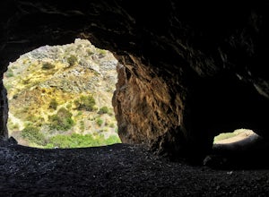
3.30.61 mi / 66 ft gainWho doesn't enjoy a short hike to a scenic/remote location? I know I sure do! After hearing about this spot through word of mouth and the internet, and seemingly never having the time to check it out, I honestly have to say it was a worthwhile trip. This short 0.6 out and back hike/walk to the f...Read more -
San Bernardino County, California
Aztec Falls
3.31.23 mi / 16 ft gainFrom Lake Arrowhead, take the 173 to Hook Creek Road until you dead end onto Squint Ranch Road. Take a right at the first fork in the road, and park in the lot for Splinters Cabin. The dirt road can be a bit rocky and might not be the best for small cars. Once you're there, be sure to display you...Read more

