Shingletown, California
Looking for the best photography in Shingletown? We've got you covered with the top trails, trips, hiking, backpacking, camping and more around Shingletown. The detailed guides, photos, and reviews are all submitted by the Outbound community.
Top Photography Spots in and near Shingletown
-
Old Station, California
Hike to Snag Lake via the Cinder Cone
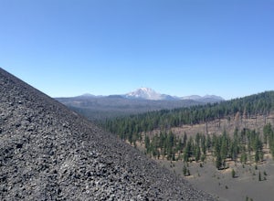
12.5 mi / 2000 ft gainStart from the Butte Lake trailhead, off Highway 44 at the north end of Lassen Volcanic National Park. From the parking lot walk past the little boat launch and the trailhead is obvious in front of you. Be mentally prepared to be walking in loose sand for most of this trip (and bring ankle or kn...Read more -
Shasta County, California
Hike Kanaka Peak
4.53.5 mi / 1100 ft gainHead to the Peltier Bridge Campground after entering Whiskeytown National Recreation Area and then go 1.1 miles along the road through the campground until you reach the trailhead for Kanaka Peak. The road from the campground is open from late spring to late fall, otherwise hikers will need to pa...Read more -
Shasta County, California
Hike to the top of South Fork Mountain
5 mi / 4181 ft gainStarting from the Kanaka Peak Trailhead, follow the Kanaka Peak Trail all the way, continuing on past the Peltier Trail Junction and the Kanaka Cutoff Trail Junction until the trail begins to head east (about 2-2.5 miles from the trailhead) and there is a gently sloping hill on your right that is...Read more -
Plumas County, California
Camp at Last Chance Creek Campground on Lake Almanor
This PG&E campsite is located on the northern most inlet of Lake Almanor and is slightly more remote than the other sites around Lake Almanor. The campground offers spectacular views and easy access to great fishing. To get there, head east out of the town of Chester on Highway 36. After cros...Read more -
Igo, California
Hike to Brandy Creek Falls in Whiskeytown National Recreation Area
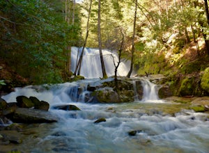
5.03 mi / 500 ft gainMy favorite hike in Whiskeytown National Recreation Area. From the visitor center you will take Kennedy Memorial Drive towards the dam, make a left at Brandy Creek Road. At a junction for Sheep camp/Shasta Bally make a left. You will arrive at the trailhead. This hike follows a beautiful stream t...Read more -
Burney, California
Burney Falls
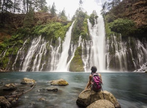
4.90.97 mi / 82 ft gainBurney Falls can be seen right from the parking area, but this scenic loop is a great hike for all levels of hiking ability. Heading out on this trail will take you to the base of this 129 foot tall waterfall. The Hike Burney Falls has a 1.3 mile loop trail that takes approximately 30 minutes ...Read more -
Burney, California
"Stand by Me" Bridge
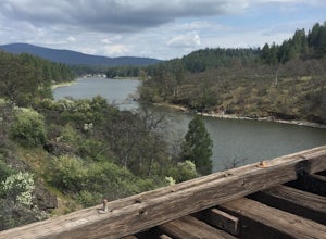
4.0The "Stand by Me" bridge is located in Northern California about 20 miles north of Lassen National Forest and two and a half miles (2.4 mi) from Burney Falls at McArthur-Burney Falls Memorial State Park. The bridge is approximately 7.5 miles north of Burney, CA. From the town of Burney, take Hw...Read more -
Burney, California
Northshore Campground
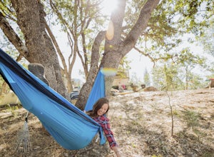
The name of the campground, Northshore Campground, speaks for itself. It's located on the northern side of Lake Britton, across the water from the main state park camping area. This is nice for us as it's easier to get a spot, and it's much quieter. Campground Reservations It's a PG&E campgr...Read more -
French Gulch, California
Hike to Whiskeytown Falls in Whiskeytown National Recreation Area
2.8 mi / 787 ft gainComing from Redding pass the visitor center and heading down highway 299. Make a left turn on Crystal Creek Road. Drive about 3.75 miles and on your left will be the Mills Creek Trailhead. Start hiking. You will start headed downhill towards the creek. You will cross Crystal Creek on a footbridge...Read more

