Santa Ysabel, California
Looking for the best hiking in Santa Ysabel? We've got you covered with the top trails, trips, hiking, backpacking, camping and more around Santa Ysabel. The detailed guides, photos, and reviews are all submitted by the Outbound community.
Top Hiking Spots in and near Santa Ysabel
-
San Diego, California
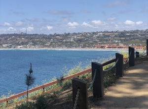
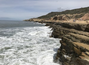
La Jolla Coast Walk Trail
5.02.32 mi / 295 ft gainLa Jolla Coast Walk is a beautiful coastline trail, but is a bit of a heavily trafficked tourist trail. The hike can be started and ended at 3 separate locations. The trail is easily accessible with a small parking lot and tons of restaurants nearby. The trail begins near another popular touris...Read more -
San Diego, California
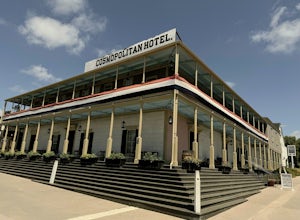
Old Town San Diego State Historical Park
4.51 miFrom where Father Junipero Serra established the first of 21 California Missions in 1769, this area was the first permanent European settlement in the San Diego region. Today, past and present meet in a preserved historical park located near Downtown San Diego. You can explore life as it was in ...Read more -
Palm Springs, California
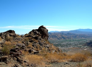
Museum Trail
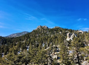
1.52 mi / 860 ft gainThe Museum Trail is a very steep climb with a 1,000 feet elevation gain in just one mile but has some great views of downtown Palm Springs. The hike starts behind the Palm Springs Art Museum. This trail can also access the Cactus to Clouds Trail that goes all the way to the top of Mt. San Jacinto...Read more -
Palm Springs, California
Skyline Trail to Aerial Tramway Top Station
5.09.41 mi / 8238 ft gainSkyline Trail to Aerial Tramway Top Station is a point-to-point trail where you may see beautiful wildflowers located near Palm Springs, California.Read more -
Palm Springs, California
North Lykken Trail from W. Crescent Drive
1.67 mi / 906 ft gainNorth Lykken Trail from W. Crescent Drive is an out-and-back trail that takes you past scenic surroundings located near Palm Springs, California.Read more -
Palm Springs, California
Winter Climb San Jacinto from the Tram
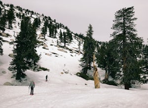
5.08 mi / 2400 ft gainIntermediate: No snow.Advanced: Lots of snow.Expert: Snow w/ high winds and low temps. GPX: https://www.gaiagps.com/datasu... San Jacinto, at 10,834 feet, is the second-highest peak in the Southern California. It's unique in that it has a rotating tram car (think slow motion disco floor) that r...Read more -
Palm Springs, California
Scramble Cornell Peak
3.5 mi / 1000 ft gainEntering Mt San Jacinto State Park via the Palm Springs Aerial Tram is one of the easiest ways to get into the wilderness area. Purchase your ticket and ride to the station where you'll be able to walk out the backdoor and onto the trail. In order to get to Cornell, your route finding skills wil...Read more -
San Diego County, California
Camp On the Abandoned Santa Margarita Lookout Helipad
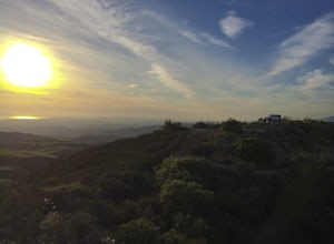
4.3Starting in Murrieta, CA you don't have to venture far to enjoy a beautiful view and less light polluted skies.From Murrieta on the I-15 freeway you're going to want to take the Clinton Kieth Road exit and head west. If you're low on gas make sure to fill up at the 7 Eleven on the left corner. Th...Read more -
Riverside County, California
Night Hike Painted Canyon
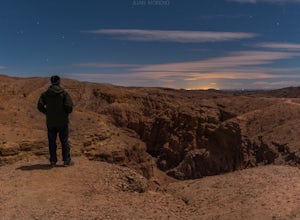
Take Box Canyon Rd to Painted Canyon Road. Painted Canyon Road is a dirt road, so exercise caution. The road dead ends at the Painted Canyon Trailhead parking lot.Once on the trail, look out for markers and arrow rock piles pointing to the slot canyons and other trails. Some climbing is necessary...Read more -
Mecca, California
Hike the Ladder Canyon/Painted Canyon Loop
5.04 mi / 2215 ft gainFrom Interstate 10, take State Highway 195 (Box Canyon Road) to Painted Canyon Road. This well-maintained, dirt road goes for about 4 miles and leads into the sandy wash which runs the length of the canyon for approximately 1.7 miles. There are a few narrow side canyons which can be explored on f...Read more -
Mecca, California
Big Painted Canyon
3.61 mi / 541 ft gainBig Painted Canyon is an out-and-back trail that takes you past scenic surroundings located near Mecca, California.Read more -
Mecca, California
Hike Ladder Canyon in Mecca Hills
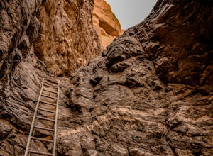
5.04.5 mi / 990 ft gainFrom Box Canyon Road turn on to Painted Canyon Road a dirt road that will lead you to the trailhead. From the trailhead start into the canyon. After a few hundred feet there will be rocks forming an arrow pointing you towards a ladder. Go up the ladder and follow the trail from here. There will b...Read more -
Desert Hot Springs, California
Pushwalla Palms Loop
4.33 mi / 741 ft gainPushwalla Palms Loop is a loop trail where you may see wildflowers located near Thousand Palms, California.Read more -
San Diego, California
Explore Cabrillo National Monument
4.5Cabrillo National Monument is named after Juan Rodriguez Cabrillo, the first European explorer to reach America's Wet Coast. There are many knowledgable rangers in the park who are eager to share interesting historical facts. Activities in the park include hiking: the Bayside Trail offers 2 mile...Read more -
San Diego, California
Bayside Trail
4.01.99 mi / 397 ft gainThe Bayside Trail features beautiful spring wild flowers and is accessible year-round. The trail is wide with a few rest stops and benches along the way. The trail is breezy, much cooler than many trails inland, featuring ocean views throughout the duration. This monument commemorates the landi...Read more

