Running Springs, California
Looking for the best photography in Running Springs? We've got you covered with the top trails, trips, hiking, backpacking, camping and more around Running Springs. The detailed guides, photos, and reviews are all submitted by the Outbound community.
Top Photography Spots in and near Running Springs
-
Yucca Valley, California
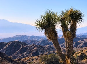
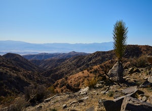
Eureka Peak
5.00.47 mi / 82 ft gainAccessing Covington Flats in Joshua Tree National Park requires a high ground-clearance overland vehicle. Bring spare water and emergency tools incase of a breakdown. From Route 62 in Yucca Valley, CA take La Contenta Dr. South toward Joshua Tree. This is a backcountry entrance that does not hav...Read more -
Pearblossom, California
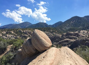
Devil's Punchbowl and Devil's Chair
4.57.37 mi / 1870 ft gainWhat a hidden gem! A martian landscape full of faultline desert rock formations and joshua trees against a mountainous backdrop of the San Gabriels. Devil's Punchbowl Natural Area features a 1 mile well-marked, well-maintained single track loop trail inside the Punchbowl (great for kids) and a 7 ...Read more -
Palm Springs, California
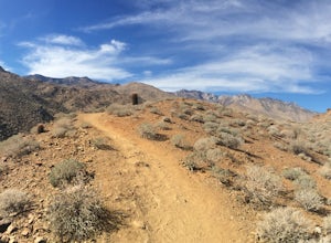
Palm Canyon Trail
4.51.94 mi / 308 ft gainThe fifteen mile long Palm Canyon, one of the Indian Canyons, is among the most beautiful natural sites in Western North America. Its indigenous flora and fauna, expertly used by the Cahuilla people, and its abundant Washingtonia Filifera (California Fan Palm) stand in breathtaking contrast to th...Read more -
Trabuco Canyon, California
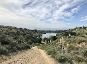
Hike the Bellview to Dove Lake Trail
2.5 mi / 75 ft gainThis hike will be about going from the Bellview Trailhead to Dove Lake and back. Note that once you get to Dove Lake there are numerous offshoots that can take you in different directions (you can follow the road into the Dove Canyon housing community, take a paved road back to the Bellview parki...Read more -
Pearblossom, California
Cooper Canyon Falls via Burkhart Trail
5.03.01 mi / 755 ft gainBurkhart Trail is well-defined and easy to follow through an unbelievable old growth of Jeffrey pines, incense-cedars and surprisingly, redwoods! At 0.25 miles, there is a steep spur trail near a large pile of boulders that leads to a popular swimming area, often frequented by guests of the campg...Read more -
Pearblossom, California
Snowshoe Buckhorn Ridge Trail
2.5 mi / 700 ft gainLocated 1 mile east of the Mt Waterman Ski Resort, Buckhorn Ski Hill is a great place to enjoy a leisurely stroll through a snow-covered forest, complete with views of towering Mt Waterman. To get here take I-210 toward La Canada, exit on to California Highway 2 (Angeles Crest Highway) heading no...Read more -
Pearblossom, California
Mt. Waterman
5.05.87 mi / 1499 ft gainMt. Waterman is accessed along Highway 2 in the Angeles National Forest. Heading east from La Canada look for mileage marker 58.0 (34 miles from La Canada) just past the closed ski resort. Park at one of the large paved turnouts on your left. Display an Adventure Pass ($5 at Ranger Station or Big...Read more -
Riverside County, California
Hike the Covington Crest Trail
4.2 mi / 200 ft gainAccessing Covington Flats in Joshua Tree National Park requires a high ground-clearance overland vehicle. In the summer months a standard car might make it to the parking lot after the 7.5 mile off-road drive, but should always be prepared for soft sand. Bring spare water and emergency tools inca...Read more -
Lake Forest, California
Hike Borrego Canyon to Red Rock Canyon Trails
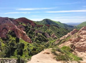
4.64.2 mi / 500 ft gainJust south east of the city of Irvine, on the southern end of Orange County, is the scenic Whiting Ranch Wilderness Park. Don't let the newly developed shopping centers restaurants fool you, because just beyond the parking lot ($3 Daily Use Fee) of the Borrego Canyon Trailhead, you will find your...Read more

