Round Mountain, California
Looking for the best photography in Round Mountain? We've got you covered with the top trails, trips, hiking, backpacking, camping and more around Round Mountain. The detailed guides, photos, and reviews are all submitted by the Outbound community.
Top Photography Spots in and near Round Mountain
-
Mount Shasta, California
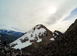
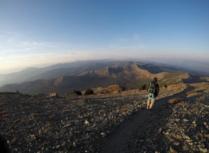
Winter Summit Black Butte
5 mi / 2000 ft gainNote: February thru early March are great times to climb it for a winter ascent without snowshoes. If there is no snow seen from the south (e.g. on I-5 heading north to Mount Shasta City), don't be too worried. As long as there is snow on the surrounding peaks (e.g. Trinity Alps) around the same ...Read more -
Trinity Center, California
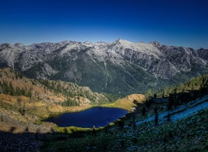
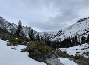
Backpack to Bear Basin and The Four Lakes Loop
30.1 miDay 1 Swift Creek Trail Head to Bear BasinThe trip begins at the Swift Creek trailhead in the Trinity Alps Wilderness. Permits are very easy to get, just stop by the Ranger station in Weaverville, CA. They are free and can be self-issued in front of the ranger station, or you can go in if you wou...Read more -
Tehama County, California
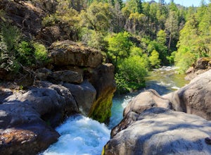
Explore Deer Creek Falls
5.00.5 miThis extremely short hike starts just off of Highway 32. From Chester, head southwest on 32 for roughly 21 miles. There is a turnout and a sign where the trail starts. This waterfall is best viewed in the spring when there is still a large amount of snow melt off. This waterfall is definitely not...Read more -
Trinity Center, California
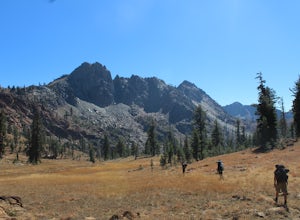
Backpack Stony Ridge in the Trinity Alps
16.5 mi / 4500 ft gainThe Trinity Alps has miles and miles of beautiful trails, but one of the more stunning sections is the Four Lakes Loop. There are two main trail heads that access the trail. Long Canyon Trail and Stony Ridge Trail both are both beautiful but Stony Ridge is the more popular route yet strenuous. To...Read more -
Trinity Center, California
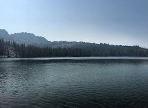
Stoddard Lake
5.07.01 mi / 1325 ft gainThe trail is a bit rocky, so wear sturdy hiking boots or trail runners. While your elevation gain is only 800 total, you will travel upwards of 1,982ft in elevation given the ups and downs of the trail. At mile 1.75, there is a spring that feeds into a large meadow. At mile 3, there is another sp...Read more -
Pacific Crest Trail, California
Hike or Backpack the Dead Falls Lake Trail
5.08.1 mi / 1358 ft gainThe Dead Falls Lake Trail is perfect for families, dog, and all adventurers. In the spring and summer, there are gorgeous and abundant wildflowers. There is a perfect lunch spot at Deadfall Lake. Close to the gargantuan Shasta, Mount Eddy is the highest peak in the Klamath Mountain. Mount Eddy o...Read more -
Plumas County, California
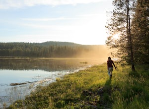
Camp at Last Chance Creek Campground on Lake Almanor
This PG&E campsite is located on the northern most inlet of Lake Almanor and is slightly more remote than the other sites around Lake Almanor. The campground offers spectacular views and easy access to great fishing. To get there, head east out of the town of Chester on Highway 36. After cros...Read more -
Trinity Center, California
Backpack Stuart Fork to Emerald and Sapphire Lake
25 mi / 4448 ft gainThe Stuart Fork to Emerald and Sapphire Lakes trail features many beautiful lakes, meadows, and an area that resembles a jungle. Dogs are able to use this trail. This trail can be done as a day hike, an overnight, or a three-day backpacking trip. If you choose to make it a three day, the meadows ...Read more

