Round Mountain, California
Looking for the best chillin in Round Mountain? We've got you covered with the top trails, trips, hiking, backpacking, camping and more around Round Mountain. The detailed guides, photos, and reviews are all submitted by the Outbound community.
Top Chillin Spots in and near Round Mountain
-
McCloud, California
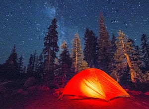
Panther Meadows Campground
5.0The Panther Meadows Campground is located in the timberline on Mt. Shasta. The free campsite has 10 sites with a fire ring and a table. The elevation of the campground is 7,500 ft, making it the highest campground on Mt. Shasta. Summer nights can get pretty cold, so make sure to bring proper atti...Read more -
McCloud, California
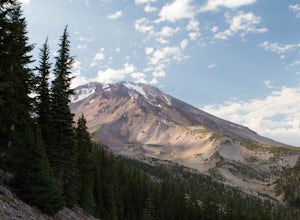
Gray Butte
3.27 mi / 646 ft gainMount Shasta is an incredible mountain in Northern California that offers a great variety of activities. The Gray Butte trail is one of the more beautiful trails in the area, and it's not too long (2.8mi, ~2h). We arrived at Shasta by late afternoon, so it was a great hike to do when golden hour ...Read more -
Trinity Center, California
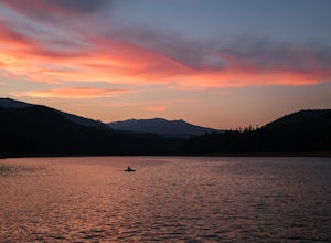
Camp at Hayward Flat on Trinity Lake
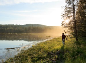
We drove all around Trinity Lake and this was the best campground we found! Located right on Trinity Lake you will find Hayward Flat Campground. From Weaverville California you will follow highway 3 north about 20 miles. Then take a right on Hayward Flat road two miles. Boom, you are there. The...Read more -
Lassen County, California
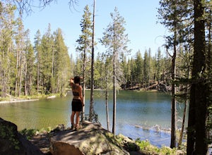
Backpack the Caribou Wilderness Lakes Loop
12 miThe caribou lakes loop is very laid back, making it a great start for first time backpackers and kids. Word of caution: in the summer the mosquitos are plenty, I'd recommend this loop for the fall. From the parking lot there is a visible sign pointing you in the direction of the trailhead near Ca...Read more -
Tehama County, California
Explore Deer Creek Falls
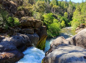
5.00.5 miThis extremely short hike starts just off of Highway 32. From Chester, head southwest on 32 for roughly 21 miles. There is a turnout and a sign where the trail starts. This waterfall is best viewed in the spring when there is still a large amount of snow melt off. This waterfall is definitely not...Read more -
Plumas County, California
Camp at Last Chance Creek Campground on Lake Almanor
This PG&E campsite is located on the northern most inlet of Lake Almanor and is slightly more remote than the other sites around Lake Almanor. The campground offers spectacular views and easy access to great fishing. To get there, head east out of the town of Chester on Highway 36. After cros...Read more -
Trinity Center, California
Backpack Stuart Fork to Emerald and Sapphire Lake
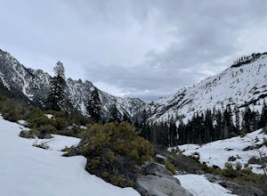
25 mi / 4448 ft gainThe Stuart Fork to Emerald and Sapphire Lakes trail features many beautiful lakes, meadows, and an area that resembles a jungle. Dogs are able to use this trail. This trail can be done as a day hike, an overnight, or a three-day backpacking trip. If you choose to make it a three day, the meadows ...Read more

