Posey, California
Looking for the best photography in Posey? We've got you covered with the top trails, trips, hiking, backpacking, camping and more around Posey. The detailed guides, photos, and reviews are all submitted by the Outbound community.
Top Photography Spots in and near Posey
-
Kern County, California
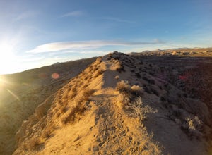
Camp Under Red Rock Canyon
Red Rock Canyon is a must stop for those driving along Highway 14 between the Owens and Antelope Valleys. The park is located where the southernmost tip of the Sierra Nevada converge with the El Paso Range and features scenic desert cliffs, buttes, and spectacular rock formations. Each tributary ...Read more -
Cantil, California
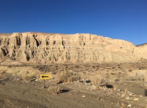
Hike Nightmare Gulch
10 mi / 1200 ft gainHeading north on highway 14, pass the turnoff for Ricardo campground on your left and take the second turn-off on the right, immediately past the large rock outcropping. Park and walk a few feet up the obvious trail and you should see a sign for Scenic Canyon to the right. Follow that trail acros...Read more -
Sequoia National Park, California
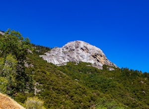
Hike Moro Rock
5.0Moro Rock is a granite dome with a staircase leading to the 6,725 foot summit, where you can enjoy a spectacular view of the Great Western Divide. From Generals Hwy, you can drive up Crescent Meadow Road to the parking lot at the base of Moro Rock (summer weekends the road is closed for shuttles ...Read more -
Sequoia National Park, California
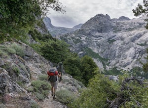
Backpack the High Sierra Trail
5.071 miThe High Sierra Trail begins at Crescent Meadow in Sequoia National Park, on the West side of the Sierra Nevada range, and ends at Whitney Portal on the East, traversing the highest and most beautiful part of the Sierras. From deep river canyons to high alpine peaks, lakes, and meadows, this hike...Read more -
Sequoia National Park, California
Hike Crescent Meadow
4.51.6 miCrescent Meadow is a collection of loops in the Giant Forest in Sequoia National Park. The trailhead is located just past the tunnel log east of General's Highway 198. The main loop is 1.6mi total. However you can take any of the loops to the General Sherman tree 3mi, Tharp's Log trail 0.5mi, or ...Read more -
Sequoia National Park, California
Drive through Tunnel Log
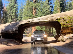
Tunnel log is a massive fallen sequoia across the middle of the road, which is a great photo opportunity for visitors of the national park. The mammoth tree fell over in 1937, but a year later, a car tunnel was carved in the middle of its trunk so vehicles could still pass through. Although the...Read more

