Posey, California
Looking for the best hiking in Posey? We've got you covered with the top trails, trips, hiking, backpacking, camping and more around Posey. The detailed guides, photos, and reviews are all submitted by the Outbound community.
Top Hiking Spots in and near Posey
-
Three Rivers, California
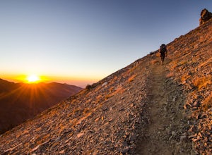
Backpack the Little Five & Big Five Lakes Loop
5.026.5 mi / 10000 ft gainDay 1: A long, rewarding day. Over the course of 11.5 miles you will complete around 10,000ft of elevation change. To start, park the car at the Sawtooth-Monarch Trailhead (7500ft) and begin on the trail, immediately ascending to Timber Gap (9500ft). Once at the gap, the trail makes it's way do...Read more -
Three Rivers, California
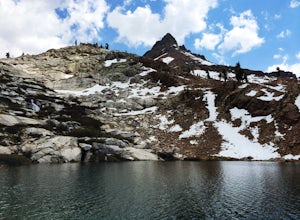
Hike to Lower Monarch Lake
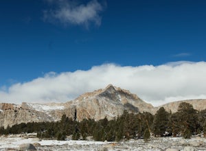
5.08.4 miThe drive takes about 90 minutes to get to the trailhead from Three Rivers, CA so plan accordingly and make sure you get there early. Lower Mineral Lake is located below Sawtooth Peak in Sequoia National Park.Once you're parked and ready to jump on the trail, head to the Sawtooth Trailhead. You'l...Read more -
Kern County, California
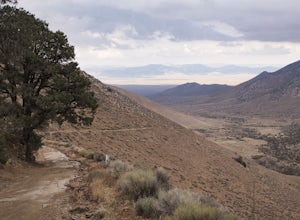
Off-Road to McIver's Cabin
5.0A little over 2 hours north of LA on Highway 14, there is an abrupt turnoff for Horse Canyon Road, which is also SC65. Just a few hundred meters off the 14 there is a large map which you continue straight by and follow SC65 for about 7 miles, along relatively flat dirt roads. The trail does bec...Read more -
Kern County, California
Camp Under Red Rock Canyon
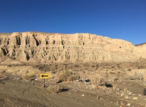
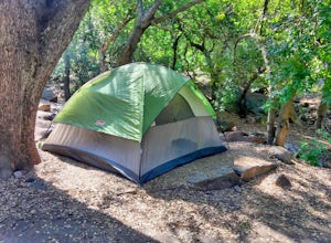
Red Rock Canyon is a must stop for those driving along Highway 14 between the Owens and Antelope Valleys. The park is located where the southernmost tip of the Sierra Nevada converge with the El Paso Range and features scenic desert cliffs, buttes, and spectacular rock formations. Each tributary ...Read more -
Cantil, California
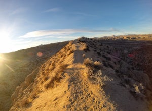
Hike Nightmare Gulch
10 mi / 1200 ft gainHeading north on highway 14, pass the turnoff for Ricardo campground on your left and take the second turn-off on the right, immediately past the large rock outcropping. Park and walk a few feet up the obvious trail and you should see a sign for Scenic Canyon to the right. Follow that trail acros...Read more -
Sequoia National Park, California
Camp at Buckeye Flat in Sequoia National Park
Entering Sequoia National Park at the Ash Mountain Entrance near the small city of Three Rivers, follow Highway 198 (Generals Highway) through the park until you see a sign for Buckeye Flat Campground off to the right. The campground sign is immediately after you see signs for Hospital Rock. Foll...Read more -
Inyo County, California
Backpack Mount Langley
5.021 mi / 4000 ft gainMt. Langley sits four hours north of Los Angeles and is one of the easier 14ers to bag in California. Mt. Whitney absorbs most of the foot traffic, so enjoy the relative quiet and seclusion.The trailhead starts at Horseshoe Meadows/Cottonwood Lakes Trailhead Campgrounds and meanders for 7.5 miles...Read more -
Sequoia National Park, California
Hike Moro Rock
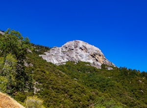
5.0Moro Rock is a granite dome with a staircase leading to the 6,725 foot summit, where you can enjoy a spectacular view of the Great Western Divide. From Generals Hwy, you can drive up Crescent Meadow Road to the parking lot at the base of Moro Rock (summer weekends the road is closed for shuttles ...Read more -
Sequoia National Park, California
Backpack the High Sierra Trail
5.071 miThe High Sierra Trail begins at Crescent Meadow in Sequoia National Park, on the West side of the Sierra Nevada range, and ends at Whitney Portal on the East, traversing the highest and most beautiful part of the Sierras. From deep river canyons to high alpine peaks, lakes, and meadows, this hike...Read more -
Sequoia National Park, California
Hike Crescent Meadow
4.51.6 miCrescent Meadow is a collection of loops in the Giant Forest in Sequoia National Park. The trailhead is located just past the tunnel log east of General's Highway 198. The main loop is 1.6mi total. However you can take any of the loops to the General Sherman tree 3mi, Tharp's Log trail 0.5mi, or ...Read more

