Plumas County, California
Looking for the best hiking in Plumas County? We've got you covered with the top trails, trips, hiking, backpacking, camping and more around Plumas County. The detailed guides, photos, and reviews are all submitted by the Outbound community.
Top Hiking Spots in and near Plumas County
-
Plumas County, California
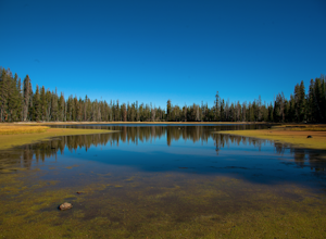
Drake Lake Trail
4.6 mi / 840 ft gainThe hike starts at the Warner Valley Trailhead and winds up the mountain until you reach the lake. The first 2 miles or so are very pleasant walk through the woods until you reach the last portion which is essentially straight up the mountain side. This portion of the trail can be very slippery...Read more -
Nevada City, California
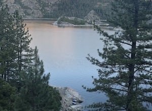
Bowman Road and Meadow Lake Road to Henness Pass
3.035.45 mi / 4895 ft gainBowman Road and Meadow Lake Road to Henness Pass is a point-to-point trail that takes you by a lake located near Alta, California.Read more -
Nevada City, California
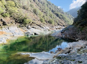
South Yuba River: Edwards Crossing to Purdon Crossing
5.04.2 mi / 639 ft gainSouth Yuba River: Edwards Crossing to Purdon Crossing is a point-to-point trail that takes you by a river located near North San Juan, California.Read more -
Nevada City, California
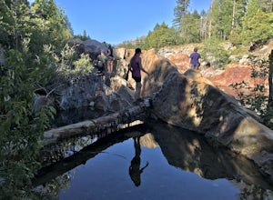
Emerald Pools
4.00.68 mi / 49 ft gainEmerald Pools is an out-and-back trail that takes you by a river located near Emigrant Gap, California.Read more -
Shasta County, California
Kings Creek Falls Trail
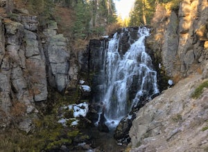
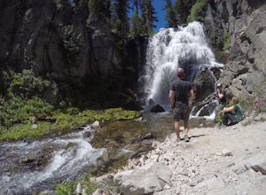
4.02.49 mi / 495 ft gainKings Creek Falls Trail is an out-and-back trail that takes you by a waterfall located near Old Station, California.Read more -
Nevada City, California
Swim at Edwards Crossing on the South Yuba River
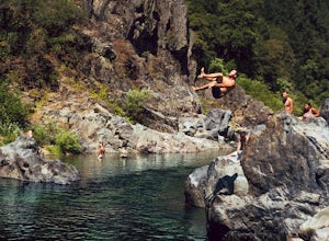
5.02.74 mi / 1302 ft gainThere are endless swimming holes on the South Yuba River the feature crystal clear water, massive granite boulders and pristine pocket beaches, particularly those lower in the foothills. Many are separated by sections of rapids, but can be reached via the growing trail system of the South Yuba Ri...Read more -
Shasta County, California
Seven Lake Loop in Lassen Volcanic NP
11.54 mi / 1545 ft gainThis hike is one of my favorites for when I only have a weekend to get my nature fix. To start off, visit either the Loomis Museum, Loomis Ranger Station, Butte Lake Ranger Station, Kohm Yah-mah-nee Visitor Center, Warner Valley Ranger Station, or Juniper Lake Ranger Station and pick up a wildern...Read more -
Old Station, California
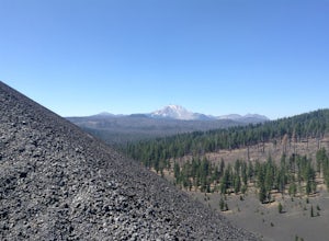
Hike to Cinder Cone
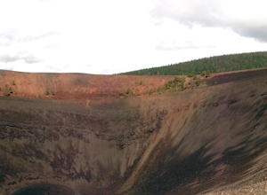
5.04 mi / 846 ft gainCinder Cone Trail For 1.2 miles, the trail gently slopes up through a forest. The Fantastic Lava Beds form a wall to your left. The Fantastic Lava Beds were formed by several eruptions of lava from Cinder Cone. The trail is mostly cinder erupted from Cinder Cone. Walking on cinder is similar to w...Read more -
Old Station, California
Hike to Snag Lake via the Cinder Cone
12.5 mi / 2000 ft gainStart from the Butte Lake trailhead, off Highway 44 at the north end of Lassen Volcanic National Park. From the parking lot walk past the little boat launch and the trailhead is obvious in front of you. Be mentally prepared to be walking in loose sand for most of this trip (and bring ankle or kn...Read more -
Oroville, California
Hike to Hollow Falls
5.01 miThe first step of this fun little hike is to park at the handy parking lot located at 2488 Cherokee Rd., Oroville, CA up on Table Mountain. Many people park here for the hike to the more well-known Phantom Falls, which is a much longer hike than the one to Hollow Falls. From the lot, look for an ...Read more -
Oroville, California
Hike to Phantom Falls
4.64.2 mi / 850 ft gainDropping off a 135 ft cliff is a very well hidden waterfall with no trails leading to it. But if you do find it, it is an epic natural wonder.It is best to come here in the winter months, after a lot of rain. But it is also well worth coming in the spring when the wildflowers on Table Mountain ar...Read more -
Old Station, California
Bumpas Hell to Cold Boiling Lake
4.05.32 mi / 1007 ft gainBumpas Hell to Cold Boiling Lake Trail is an out-and-back trail that takes you by a lake located near Old Station, California.Read more -
Tehama County, California
Brokeoff Mountain Trail
4.06.93 mi / 2474 ft gainPeaking above the volcanic valley at 9235 ft, Brokeoff Mountain is only second in height to Mt. Lassen in the national park they share. Brokeoff was once a part of a larger volcano called Mt. Tehama that erupted, eventually leading to its collapse. The event left a rugged volcanic rim, now con...Read more -
Loch Leven Lakes Trailhead, California
Loch Leven Lakes Trail
4.47.6 mi / 1480 ft gainThe trail is easy to follow for the first half mile until you get to some large slabs of granite. As you continue up the trail look for stacked rocks, these will give you a an easy route as you continue up the mountain. The trail then starts to switch back eventually leading to a small bridge. Af...Read more -
Emigrant Gap, California
Loch Leven Viewpoint Trail
5.06.41 mi / 1522 ft gainLoch Leven Viewpoint Trail is an out-and-back trail to a viewpoint of the Loch Leven Lakes that is moderately difficult located near Truckee, California. This trail is just under 6.5 miles. If you're willing to add a little more than a mile to your adventure, you can head all the way to Upper Loc...Read more -
Shasta County, California
Bumpass Hell Trail
4.72.71 mi / 502 ft gainDue to hazardous snow and ice, Bumpass Hell Trail closes during the spring and may not open until July. From the Bumpass Hell Parking Area, the trail traverses the rocky slopes of Bumpass Mountain. The trail slowly ascends 200 feet with views of the valley to the west and Lassen Peak to the nort...Read more

