Palm Desert, California
The best Trails and Outdoor Activities in Palm Desert, California, are a must-visit for those seeking outdoor adventures. The Bump and Grind Trail is a top choice. This 4-mile round trip trail offers a moderate challenge and panoramic views of Coachella Valley. Natural features include a variety of desert plants and occasional sightings of bighorn sheep. For a scenic and slightly easier option, try the Art Smith Trail. This 16-mile trail showcases the unique beauty of the desert, from palm oases to rocky canyons. If you're looking to cool off, head to Lake Cahuilla Recreation Area nearby. It offers fishing, camping, and picnic spots. For a different kind of outdoor activity, the Living Desert Zoo and Gardens is a must-visit. It's home to desert animals and plants from around the world.
Top Spots in and near Palm Desert
-
Santa Ysabel, California
Hiking in Santa Ysabel
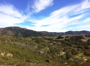
3.0Starting at the trailhead on Hwy 79, enter through the gate and make sure to close it behind you - the preserve is open range area for herds of cows, make sure not to disturb them when hiking. From the gate you'll see the sign with a detailed map of trails that are available for hiking. The trail...Read more -
Angelus Oaks, California
San Bernardino Peak
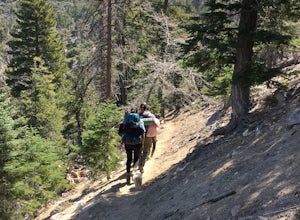
3.015.82 mi / 4911 ft gainThe San Bernadino Peak Trail out of Angelus Oaks is a very challenging hike, which can either be done as a day hike or an overnight trip. Free permits are required for day hiking and overnights in the San Gorgonio Wilderness. These permits can be accessed via Sgwa.org/permits. If you choose to ...Read more -
Forest Falls, California
Summit Mt. San Bernardino from Angelus Oaks
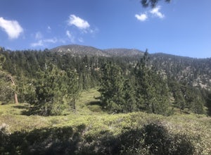
16 mi / 4775 ft gainThe trailhead is somewhat 'interesting' to get to given the dirt roads are in questionable shape and some of the roads in Angelus Oaks are not easily identifiable but I didn't have any problems finding it by closely following Google Maps. Trailhead parking requires an Adventure Pass parking pe...Read more -
Niland, California
Exploring the Salton Sea
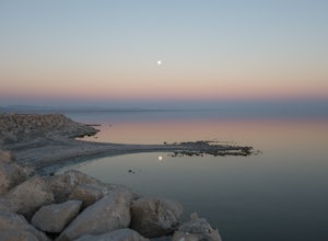
4.0The Salton Sea is the largest lake in California, created when irrigation canals from the Colorado River broke. In the 50's and 60's the area saw a boom in resorts and recreation as new "beach front" property was available and attracted hordes of people. Those days are long gone and although the ...Read more -
Niland, California
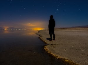
Night Photography at the Salton Sea
5.0Heading from the Los Angeles area, hop on the I-10 East, eventually keep righ to continue on CA-86 South signs for Brawley/El Centro/865 Expy, then a left on 195 East, then a right onto CA-111 South, shortly after you will be riding alongside the Salton Sea.You may want to arrive while there is s...Read more -
Julian, California
Blair Valley Trail
11.4 mi / 873 ft gainBlair Valley Trail is a loop trail where you may see wildflowers located near Julian, California.Read more -
Big Bear Lake, California
Knickerbocker Road & Pine Knot Trail
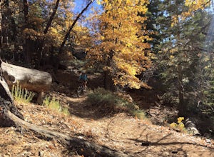
5.06.1 mi / 1007 ft gainPark at the free parking lot behind the village off Knickerbocker Rd between Village Drive and Pedder Road. Ride up Knickerbocker Rd towards the mountain. Look out for the fire service road 2N08 that veers left and uphill. The first 2 miles are challenging steep uphill, but beautiful nonetheless....Read more -
Big Bear, California
Alpine Pedal Path
5.05.08 mi / 292 ft gainAlpine Pedal Path is an out-and-back trail that takes you by a lake located near Big Bear Lake, California.Read more -
Big Bear Lake, California
Grand View Point
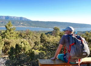
6.9 mi / 1312 ft gainGrand View Point is accessed via Pine Knot Trail, a 6.5 mile out and back hiking trail located at the Aspen Glen Picnic Area, 1 mile from Big Bear Village. With its close proximity to town, Pine Knot Trail is popular in the summer with mountain bikers and the trailhead is often crowded in the win...Read more -
Ramona, California
Explore the Sutherland Dam
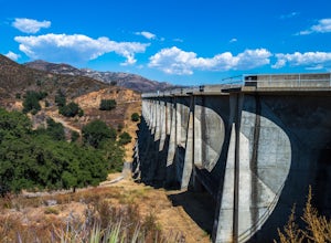
2.01 miOnce your on Sutherland Dam Rd, follow it until your right next to the dam. Park on the side of the road where you see a small turn-out. Walk down to the side of the dam and drop down onto the concrete flooring of the dam. Walk on-top where allowed, and check out the views of the lake and the mo...Read more -
San Bernardino County, California
Off-Road Jacoby Canyon
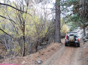
2.9 miThis is now my favorite trail in the San Bernardino National Forest. Ranging from desert scenes at the bottom and pine trees at the top, you experience such high levels of outdoors feel you can't resist. This trail has so many awesome spots for camping and off-roading that it has a great mix for ...Read more -
Big Bear, California
Cougar Crest Trail
5.05.57 mi / 892 ft gainOn the north side of Big Bear Lake, just off the 38, you will find a turn off for the Cougar Crest Trail. The parking lot is well marked, and signs for the trailhead are easy to spot. Parking is not an issue if you come in later in the afternoon, but the hike can get crowded during peak hours. Fo...Read more -
Fawnskin, California
Castle Rock Trail at Big Bear Lake
4.52.7 mi / 719 ft gainFollow the directions to the trail head, and park on the side of the road. You will see a sign that says Castle Rock Trail, and the path is directly behind that sign. The hike up to the peak is steep, sandy, and very rocky, so shoes with good traction is recommended. There are also lots of oak a...Read more -
Big Bear, California
Explore Van Dusen Cabin
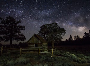
4.0This is a great day trip to spend in the mountains. from Highway 18 at the Big Bear Dam you turn left onto highway 38 around the north shore of Big Bear. Continue till you see the sign Van Dusen Rd and turn left. The paved road takes you through residential neighborhoods where the dirt road begin...Read more -
Big Bear, California
Rock Climb Holcomb Valley
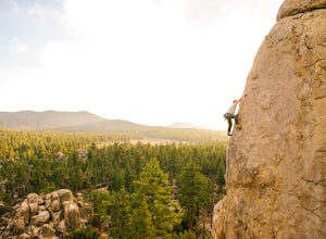
5.0Most of the drive to Holcomb Valley is done on regular paved roads until about the last hour when you get above Big Bear Lake and you start your journey on dirt roads. The road is extremely bumpy and has lots of pot holes but there are generally quite a few cars up there that don't have 4 wheel d...Read more -
Fawnskin, California
Grays Peak Trail
1.06.95 mi / 1293 ft gainThis is a fairly easy mountain peak to climb. The trailhead is easily accessible right off of Hwy 38 by the town of Fawnskin. There is a large National Forest sign noting the parking area to Grays Peak Trail. Note that parking in this lot requires either a day pass or a California Adventure pa...Read more

