Pacific Crest Trail, California
The Pacific Crest Trail in California is a top pick for outdoor adventures. This long-distance hiking and equestrian trail stretches from Mexico to Canada, offering a scenic journey through the Sierra Nevada and Cascade mountain ranges. It's a must-visit for those who enjoy challenging hikes, with a high point at Forester Pass standing at 13,153 feet. Along the trail, you'll encounter the stunning beauty of Yosemite National Park, the crystal clear waters of Lake Tahoe, and the unique rock formations of Lassen Volcanic National Park. Other attractions near the trail include the Sequoia National Forest known for its giant sequoia trees. The best Trails and Outdoor Activities are waiting for you at the Pacific Crest Trail.
Top Spots in and near Pacific Crest Trail
-
Madera County, California
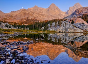
Climb Mount Ritter
Mt Ritter is a long climb, but it is worth the effort. Start out by establishing camp at Ediza Lake prior to your ascent. The SE Glacier route (first ascent by John Muir) follows the path of least resistance up the SE side of Mt Ritter.The route first gains a broad bench below Ritter and Banner P...Read more -
Madera County, California
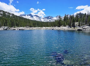
Backpack to Waugh Lake
5.011 mi / 1000 ft gainThere are several trailheads you can start at to get to the lake, but we chose the River Trail in Agnew Meadows because it was the only trailhead that hadn't met the quota yet. You can check on permit's and trailheads here. If the River Trail is booked other great options are Shadow Creek, Fish C...Read more -
Twin Bridges, California
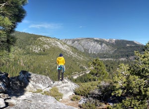
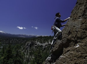
Climb Knapsack Crack & Deception at Lover's Leap
If you're just getting into outdoor climbing, it can be pretty daunting. There are so many amazing routes and so much to be worried about. Plus, you need a partner you trust to put the work in with you. To start, read a book or two, and if you can, work with a guide once or twice to make sure you...Read more -
Echo Lake, California
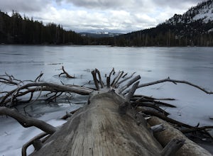
Hike the Echo Lake Trail
4.05 mi / 688 ft gainThe Echo Lakes Trail goes through California's Desolation Wilderness and features incredible views. This trail is rated as moderate, and is best for excited beginners or intermediate hikers. This hike takes roughly 3.5-4 hours. Dogs are allowed on trail if kept on leash. The trail is best used fr...Read more -
South Lake Tahoe, California
Bike to Star Lake
5.021 mi / 2300 ft gainStart out at the top of Corral Loop, in South Lake Tahoe, and begin the climb up Armstrong Pass. After the 4 mile ride up, you reach the split to either Mr. Toads or Star Lake. Continue another 2.5 miles up the steep and sandy climb to the saddle just below Freel Peak, the tallest peak in the bas...Read more -
Echo Lake, California
Lake Aloha
4.012.34 mi / 1552 ft gainYou'll start the hike at the Echo Lakes trailhead, just off of Highway 50 in Lake Tahoe. The trail meanders past Lower and Upper Echo Lakes, slowly gaining altitude as you pass a smattering of summer cabins. The climb is enough to make you feel it, but before you know it, it's over. Once cresti...Read more -
Echo Lake, California
Explore the Alpine Lakes of Desolation Wilderness
5.0This incredible hike offers you the opportunity to visit the heart of desolation without climbing more than about 600 feet of elevation. Begin at the boat taxi at Lower Echo Lake. The taxi costs $12/person each way and is $5 each-way for your furry friend. The taxi leaves the dock at frequent int...Read more -
Echo Lake, California
Cross-Country Ski or Snowshoe to Ralston Peak
5.0This loop is best accomplished in 2 days, spending a night at either Ralston, Tamarack, or Cagwin Lake. Although this route is similar to hiking Ralston Peak in the summer, the trails are completely covered by snow so solid navigation skills are necessary. A map is required to find the best possi...Read more -
Echo Lake, California
Hike to Jabu Lake in Desolation Wilderness
3.7Although this hike can be done as a day hike, there are incredible camping spots near the lake. The easiest way to start this hike is to start at the Echo Lakes. There is ample parking above the marina and you even have the option of taking a water taxi across the echo lakes to cut off around 2.5...Read more -
Echo Lake, California
Ski Ralston Peak
5.0Ralston Peak is a classic south Lake Tahoe backcountry skiing and snowboarding area, and is excellent for hiking in the summer, too. Please note, however, that backcountry skiing and snowboarding is dangerous – make sure you know the conditions and have avalanche equipment.There are two main appr...Read more -
Echo Lake, California
Backpack to the "Waterfall Camp" in Desolation Wilderness
4.710.5 mi / 1522 ft gainAlthough this hike can be done as a day hike, it is an awesome place to camp. There is a lot to explore and you will want to spend as much there time as you can. The easiest way to start this hike is to start at the Echo Lakes. There is ample parking above the marina and you even have the option ...Read more -
Angels Camp, California
Upper Natural Bridge Trail
1.9 mi / 410 ft gainUpper Natural Bridge Trail is an out-and-back trail that takes you by a river located near Columbia, California.Read more -
Mono County, California
Rock Climbing at Clark Canyon
5.0Good quality volcanic tuff? That may somewhat of a contradiction, but nevertheless, Clark Canyon is indeed one of the best pocketed playgrounds in the Mammoth area.Be advised, however, that it is a little tricky getting there, and in certain spots you may need high clearance (a Prius won't make i...Read more -
Twin Bridges, California
Hiking to Ralston Peak
4.07 mi / 2375 ft gainStarting at the lower lot it's less than a mile to access the trail. The hike starts off in shade through a lot of red fir forest and continues at a steady upward route. Approximately 45 mins into the hike you'll come across a sign that says you are entering desolation wilderness. The forest will...Read more -
Madera County, California
Backpack to Lower Merced Pass Lake
4.023 mi / 880 ft gainLMPL (let's be honest, the full name is a mouthful) is situated just below the crest of Merced Pass, and can be accessed by hiking south from Yosemite Valley, or north from Chiquito Pass. This is a stunning and much less crowded spot to camp, or a great way to access some of the less climbed moun...Read more -
Echo Lake, California
Hike Flagpole Peak from the bottom of Echo Summit
3.5 mi / 1900 ft gainFor this hike there are two places you can start from. One is at the Echo Lakes parking lot and the other is at the bottom of Echo Summit (where we started at). Parking at the gun tower at the bottom of Echo Summit you'll be looking right at the face of Flagpole. After parking just off the side o...Read more

