Oroville, California
Looking for the best hiking in Oroville? We've got you covered with the top trails, trips, hiking, backpacking, camping and more around Oroville. The detailed guides, photos, and reviews are all submitted by the Outbound community.
Top Hiking Spots in and near Oroville
-
Sierra City, California
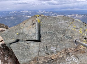
Sierra Buttes Lookout Trail
5.09 mi / 1365 ft gainSierra Buttes Lookout Trail is an out-and-back trail where you may see beautiful wildflowers located near Sierra City, California.Read more -
Plumas County, California
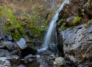
Hike to Little Jamison Falls
3.02 mi / 500 ft gainTo get to the falls from the town of Graeagle, CA take Graeagle-Johnsville off Highway 89 towards the town of Johnsville. After 4.5 miles take a left on a dirt road to Jamison Mine Day Use Parking. If you go over the bridge and into the town of Johnsville, you have gone too far. Continue down th...Read more -
Nevada City, California
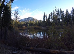
Backpack to Lower Rock Lake
3 mi / 713 ft gainThis adventure begins at the Lindsey Lake Campground parking lot (6,200 feet) where you leave your vehicle, takes you three miles up a trail rife with amazing photo opportunities and seasonal wildlife, and ends on the shore of Lower Rock Lake. Here you will find a dispersed camping site owned by ...Read more -
Foresthill, California
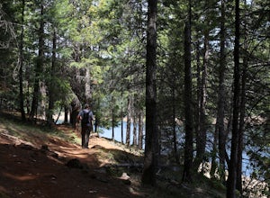
Explore Sugar Pine Reservoir
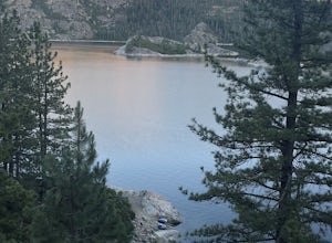
4.3Just a few miles north of Foresthill, Sugar Pine is a lesser known reservoir found in Placer County that is surprisingly unpopulated for how much the park provides. A swim suit, some friends, and some good music can be all it takes to have a good time.There is a boat-launching station that is eas...Read more -
Auburn, California
Hike Training Hill
4.54.5 mi / 1126 ft gainTraining Hill is a 4.5 mile loop trail that features beautiful meadows and wildflowers, with limited views to Folsom Lake and the Auburn canyon. The trail to Training Hill branches off from the Calcutta Falls trail right before the first cement bridge over the American River. Training Hill is r...Read more -
Auburn, California
Hike to the North Fork Dam of Lake Clementine
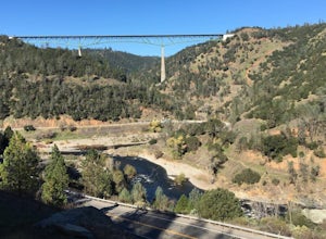
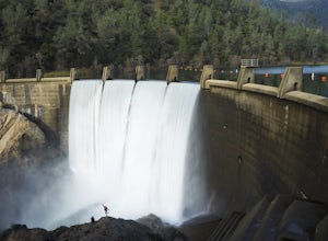
5.04 miLocated only roughly 40 minutes from Sacramento. This trail will allow you to view and walk under the 5th largest bridge in the US as well as enjoy the waterfall spectacle of a top releasing Dam. Once reaching Old Foresthill Road from the town of Auburn, drive over the smaller bridge spanning the...Read more -
Nevada City, California
Bowman Road and Meadow Lake Road to Henness Pass
3.035.45 mi / 4895 ft gainBowman Road and Meadow Lake Road to Henness Pass is a point-to-point trail that takes you by a lake located near Alta, California.Read more -
Nevada City, California
Emerald Pools
4.00.68 mi / 49 ft gainEmerald Pools is an out-and-back trail that takes you by a river located near Emigrant Gap, California.Read more

