Nevada City, California
Looking for the best chillin in Nevada City? We've got you covered with the top trails, trips, hiking, backpacking, camping and more around Nevada City. The detailed guides, photos, and reviews are all submitted by the Outbound community.
Top Chillin Spots in and near Nevada City
-
Oroville, California
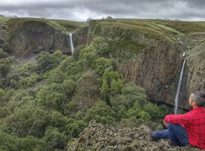
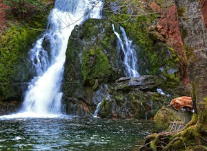
Hike to Phantom Falls
4.64.2 mi / 850 ft gainDropping off a 135 ft cliff is a very well hidden waterfall with no trails leading to it. But if you do find it, it is an epic natural wonder.It is best to come here in the winter months, after a lot of rain. But it is also well worth coming in the spring when the wildflowers on Table Mountain ar...Read more -
Frazier Creek Road, California
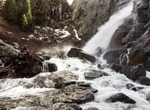
Frazier Falls
4.01.06 mi / 79 ft gainFrazier Falls is the ultimate family hike. Because the paved trail is only a mile long round trip, this trail is open to nearly anyone. Because of its relativly easy access and family friendly nature, this trail can get busy during the summer months. To reach Frazier Falls from the town of Gra...Read more -
Truckee, California
Hike the Truckee Tunnels
5.0To get here, drive along Donner Pass Rd. There is a turnoff about 100 yards away from the Donner Summit Bridge where you can park. The hike begins at a plaque for the China Wall- a large retaining wall built by Chinese railroad workers. Hike up the trail towards the tunnels. Some spots may requi...Read more -
Calpine, California
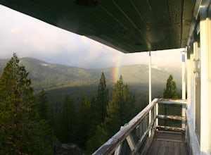
Camp at the Calpine Fire Lookout
5.0I think all explorers agree there is nothing more serene than being surrounded by nothing but wilderness. If you are one of these said explorers, a trip to Calpine's fire lookout is a must.Calpine is a forest fire lookout tower that was constructed in 1934 and is one of 3 remaining examples of th...Read more -
Tahoe City, California
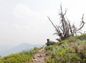
Hike the Ellis Peak Trail
5.06.3 mi / 1660 ft gainThe Ellis Peak Trail is close to North Lake Tahoe. The trail features scenic wildflowers in the spring and summer. Dogs are allowed on the trail but must be kept on leash. Directions from Truckee: Take Highway 80 south and drive to Tahoe City - continue south on Highway 89 from Tahoe City for 4....Read more -
Pollock Pines, United States
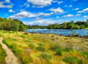
Hiking the Jenkinson Lake Loop Trail at Sly Park
4.0The Jenkinson Lake Loop Trail runs along Jenkinson Lake, making for an easy, shaded, and well-marked hike that the entire family can enjoy. The full loop is over eight miles, but can be easily modified into a shorter trip, as well.Along the way, you will see a variety of activities along the lake...Read more -
El Dorado County, California
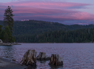
Camp at Ice House Reservoir
4.01 mi / 1 ft gainDesolation Wilderness is just west of Lake Tahoe, a part of Eldorado National Forest. It's a very popular backpacking destination as the PCT and Tahoe Rim Trail both run through the area. There are what seems to be endless amounts of mountain lakes, creeks, and rivers that run through this area w...Read more -
Carmichael, California
Hike through the Effie Yeaw Nature Preserve
4.34.48 mi / 161 ft gainDetailsEffie Yeaw Nature Preserve is named after Effie Yeaw, a teacher, conservationist and environmental educator who frequented the area on educational nature walks. She was one of the leading forces behind preserving the land now known as The American River Parkway.Effie Yeaw Nature Preserve...Read more -
Tahoe City, California
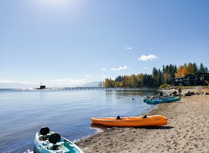
Paddle Commons Beach
5.0Commons Beach is a small beach and park on the northwest side of the lake. It is located very close to the CA-89 exit, so is ideal for road trip stops. There is a park for kids, and a grassy area near the beach. The beach itself is on the smaller side, but is relatively uncrowded. This area of th...Read more

