Montgomery Creek, California
Looking for the best photography in Montgomery Creek? We've got you covered with the top trails, trips, hiking, backpacking, camping and more around Montgomery Creek. The detailed guides, photos, and reviews are all submitted by the Outbound community.
Top Photography Spots in and near Montgomery Creek
-
Dunsmuir, California
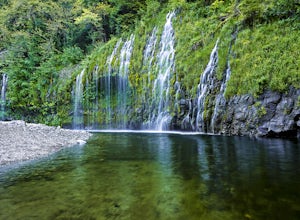
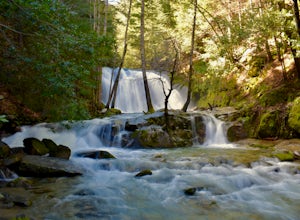
Mossbrae Falls
5.03.01 miDisclaimer: Hiking to the falls is trespassing. Fines can be as much as $300. If you choose to hike to the falls, you're doing so at your own risk so please be cautious and cognizant of your surroundings. If you live anywhere near Northern California or Southern Oregon, you may have heard about ...Read more -
Shasta County, California
Seven Lake Loop in Lassen Volcanic NP
11.54 mi / 1545 ft gainThis hike is one of my favorites for when I only have a weekend to get my nature fix. To start off, visit either the Loomis Museum, Loomis Ranger Station, Butte Lake Ranger Station, Kohm Yah-mah-nee Visitor Center, Warner Valley Ranger Station, or Juniper Lake Ranger Station and pick up a wildern...Read more -
Dunsmuir, California
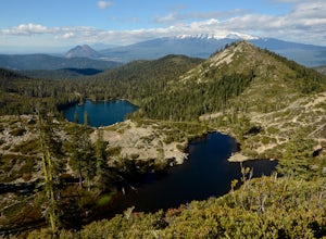
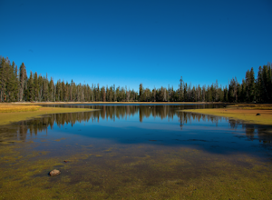
Hike to Heart Lake in the Klamath Mountains
4.52.2 mi / 600 ft gainScenes like this are rarely so accessible. Heart Lake is nestled in a bowl below Castle Peak, on the edge of the Castle Crags Wilderness just west of I-5 and the city of Mt. Shasta. The parking lot and trailhead are both located on the shore of Castle Lake, a much larger lake that is stunning in ...Read more -
Old Station, California
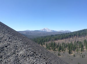
Hike to Snag Lake via the Cinder Cone
12.5 mi / 2000 ft gainStart from the Butte Lake trailhead, off Highway 44 at the north end of Lassen Volcanic National Park. From the parking lot walk past the little boat launch and the trailhead is obvious in front of you. Be mentally prepared to be walking in loose sand for most of this trip (and bring ankle or kn...Read more -
Plumas County, California
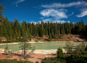
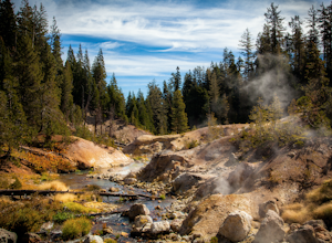
Boiling Springs Lake Loop
2.38 mi / 449 ft gainThe hike to Boiling Springs Lake starts at the Warner Valley Trailhead and is only a 3 mile roundtrip hike. It's a fairly easy hike that starts through the valley and then winds up through the forest and eventually opens up to the lake. First thing you'll notice as you approach the lake is the ...Read more -
Plumas County, California
Drake Lake Trail
4.6 mi / 840 ft gainThe hike starts at the Warner Valley Trailhead and winds up the mountain until you reach the lake. The first 2 miles or so are very pleasant walk through the woods until you reach the last portion which is essentially straight up the mountain side. This portion of the trail can be very slippery...Read more -
Shasta County, California
Hike Kanaka Peak
4.53.5 mi / 1100 ft gainHead to the Peltier Bridge Campground after entering Whiskeytown National Recreation Area and then go 1.1 miles along the road through the campground until you reach the trailhead for Kanaka Peak. The road from the campground is open from late spring to late fall, otherwise hikers will need to pa...Read more -
Shasta County, California
Hike to the top of South Fork Mountain
5 mi / 4181 ft gainStarting from the Kanaka Peak Trailhead, follow the Kanaka Peak Trail all the way, continuing on past the Peltier Trail Junction and the Kanaka Cutoff Trail Junction until the trail begins to head east (about 2-2.5 miles from the trailhead) and there is a gently sloping hill on your right that is...Read more -
Pacific Crest Trail, California
Devils Kitchen Trail
5.05.06 mi / 525 ft gainYour hike to Devils Kitchen will start from Warner Valley Campground. The hike starts out thorough the valley and eventually winds through the forest and ends at the top of the Devils Kitchen site. You'll then hike down the hill a bit and get to explore the area! There are pretty specific walkin...Read more -
Pacific Crest Trail, California
Camp at Warner Valley
Warner Valley Campground is at the end of Warner Valley Road. It's 16 dollars a night at a first come first serve basis. As far as the campground it self, there are a few bathrooms and each site has a fire ring and a picnic table. There are 17 sites which isn't a ton but since it's a fairly unuse...Read more -
McCloud, California
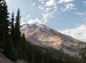
Mt. Shasta via Clear Creek Route
11.43 mi / 7615 ft gainThe least technical route to the summit of Mt Shasta begins at the Clear Creek Trailhead (elevation 6390 ft). Please note that although this is a less technical route, this is still dangerous and there have been deaths on Mt. Shasta because of falling rock. To start this, you should be a good hik...Read more -
McCloud, California
Gray Butte
3.27 mi / 646 ft gainMount Shasta is an incredible mountain in Northern California that offers a great variety of activities. The Gray Butte trail is one of the more beautiful trails in the area, and it's not too long (2.8mi, ~2h). We arrived at Shasta by late afternoon, so it was a great hike to do when golden hour ...Read more -
Igo, California
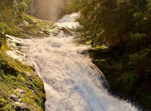
Hike to Brandy Creek Falls in Whiskeytown National Recreation Area
5.03 mi / 500 ft gainMy favorite hike in Whiskeytown National Recreation Area. From the visitor center you will take Kennedy Memorial Drive towards the dam, make a left at Brandy Creek Road. At a junction for Sheep camp/Shasta Bally make a left. You will arrive at the trailhead. This hike follows a beautiful stream t...Read more -
French Gulch, California
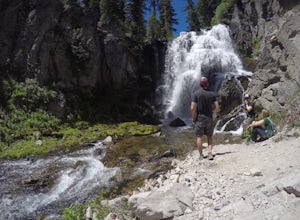
Hike to Whiskeytown Falls in Whiskeytown National Recreation Area
2.8 mi / 787 ft gainComing from Redding pass the visitor center and heading down highway 299. Make a left turn on Crystal Creek Road. Drive about 3.75 miles and on your left will be the Mills Creek Trailhead. Start hiking. You will start headed downhill towards the creek. You will cross Crystal Creek on a footbridge...Read more -
Mount Shasta, California
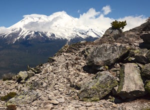
Black Butte
5.05 mi / 1608 ft gainBlack Butte is hard to miss from I-5 as it winds past the city of Mount Shasta. This lava dome formed roughly 9,000–10,000 years ago and isn't a cinder cone, though it does look like one. The rock that makes Black Butte was extruded instead of spewed, then broke apart as it cooled. The jumbled re...Read more -
Mount Shasta, California
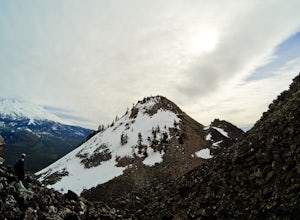
Winter Summit Black Butte
5 mi / 2000 ft gainNote: February thru early March are great times to climb it for a winter ascent without snowshoes. If there is no snow seen from the south (e.g. on I-5 heading north to Mount Shasta City), don't be too worried. As long as there is snow on the surrounding peaks (e.g. Trinity Alps) around the same ...Read more

