Mojave National Preserve, California
Top Spots in and near Mojave National Preserve
-
Cima, California
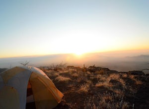
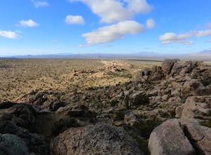
Camp on an Isolated Mesa
From the Hole in the Wall information center, drive north on Black Canyon Road. Table Top is a fairly identifiable mesa to the east. Pick what you think is a suitable approach point and park your car in a dirt pullout. Grab your backpack and make a beeline for the mesa, straight through the dese...Read more -
San Bernardino County, California
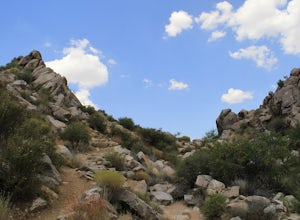
Hike Rock Spring Loop Trail
1.5 mi / 100 ft gainThe Rock Spring Loop trail is an easy to follow 1.5-mile hike in the Mojave National Preserve. The hike starts in the parking lot, where you walk through a gate, past a sign welcoming visitors to "come on up", to the historic Rock House. The Rock House is about a tenth of a mile up the trail fr...Read more -
San Bernardino County, California
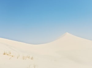
Hike Kelso Dunes
4.5There is no particular route to the top of Kelso Dunes from the trailhead – the wind is constantly moving the sands (and trail) around. Instead, follow the footsteps in the sand, avoid the vegetation, and aim for the tallest peak. It is pretty hard to get lost as you can see the parking lot from ...Read more -
San Bernardino County, California
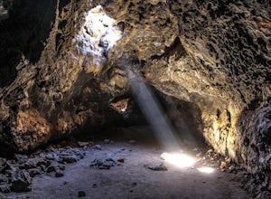
Explore the Mojave Desert Lava Tube
4.70.1 mi / 20 ft gainWhen visiting the Lava Tubes, you must have a full tank of gas, radiator coolant, and a couple gallons of water before you enter the Mojave Desert Preserve! The preserve doesn't offer any services other than the occasional place to fill up on water.From The North: From Baker, CA on Interstate 15,...Read more -
San Bernardino County, California
Teutonia Peak Trail
5.03.15 mi / 623 ft gainTeutonia Peak is a rocky 5,755-foot mountain on the edge of Cima Dome in the north east section of Mojave National Preserve. The dome is 1,500 feet tall is the most symmetrical dome of its type in the United States. The hike starts with a gradual trail through an impressive forest of Joshua Tr...Read more -
San Bernardino County, California
Camp at Hole In the Wall Campground
5.0You may think a desert is barren and ugly with little to offer the avid outdoorsman. The truth is very far from that. The Mojave, like any other great outdoor location offers great hikes, amazing views, wildlife, and a night sky that is hard to beat anywhere else. The Mojave just like all great d...Read more -
Nipton, California
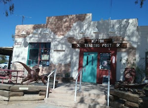
Explore Nipton
Driving from Searchlight, NV on the Joshua Tree Highway, you'll come across the interesting town of Nipton, CA. The old town is small, but charming. This is a great stop off to explore the sights and grab a quick bite at the Whistlestop Cafe.Read more
Top Activities
Camping and Lodging in Mojave National Preserve
Laughlin, Nevada
Laughlin / Avi Casino KOA Journey
Laughlin/Avi Casino KOA is about 11 miles from the Laughlin strip. It is directly across the street from the casino resort, with 24-hour ...
Needles, California
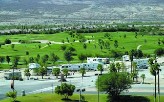
Needles KOA Journey
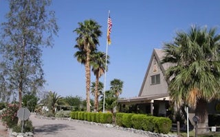
See that lush oasis in the desert? It's no mirage, it's the Needles KOA. At the edge of the Mojave Desert, hand-laid rock walls grace thi...

