Mecca, California
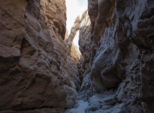
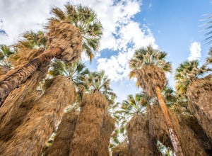
The best Trails and Outdoor Activities in Mecca, California, include the must-visit Ladder Canyon Trail. This 4.5-mile loop trail is known for its unique ladder system that helps hikers traverse the rocky terrain. It's a moderately challenging trail, so be prepared for a bit of a workout. Along the way, you'll be treated to scenic views of the Salton Sea, Painted Canyon, and numerous unique rock formations. For a more relaxed outdoor adventure, check out the Coachella Valley Preserve, located near Mecca. This area is famous for its palm oases and natural springs. It offers a variety of trails, ranging from easy to difficult, making it ideal for all levels of hikers. Whether you're a seasoned hiker or new to the trails, these top outdoor activities in Mecca are sure to please.
Top Spots in and near Mecca
-
Niland, California
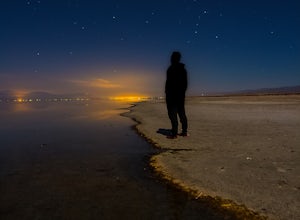
Night Photography at the Salton Sea
5.0Heading from the Los Angeles area, hop on the I-10 East, eventually keep righ to continue on CA-86 South signs for Brawley/El Centro/865 Expy, then a left on 195 East, then a right onto CA-111 South, shortly after you will be riding alongside the Salton Sea.You may want to arrive while there is s...Read more -
Desert Hot Springs, California
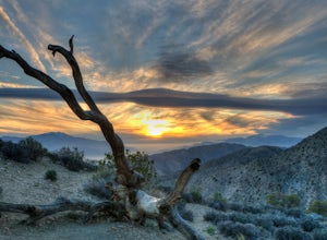
Catch a Sunset at Keys View in Joshua Tree NP
5.0This is a great place to watch the sunset, perched on the crest of the Little San Bernardino Mountains, provides panoramic views of the Coachella Valley and is well worth the 20-minute drive from Park Boulevard down Keys View Road. The views reach as far south as Salton Sea and on some clear days...Read more -
Desert Hot Springs, California
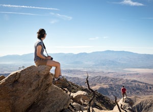
Inspiration Peak in Joshua Tree
1.81 mi / 425 ft gainMost automobile-bound visitors to Joshua Tree make their way to Keys View, and why wouldn't they? It has some of the best views in the park and with it, some of the biggest, loudest crowds. Most don't realize that a short hike away is even *better* views and, if you're lucky, solitude, on top of ...Read more -
Riverside County, California
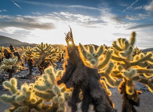
Photograph the Cholla Cactus Gardens
4.40.25 mi / 0 ft gainThe Cholla Cactus Garden is something everyone can appreciate and enjoy. The trail is in total about a 0.25 loop, but you are certainly free to wander around more. Plan on spending at least 30 minutes to an hour enjoying the scenery. If you are a photographer, you will be enthralled by the light...Read more -
Borrego Springs, California
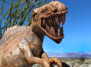
Anza Borrego Metal Sculptures
4.6Here's a map I made that marks where most of the sculptures are (here). First, you enter the park and drive through the little city of Borrego Springs. There will be a roundabout you can't miss, so you know you're on the right path. There is nowhere to park to get to the sculptures specifically,...Read more -
Riverside County, California
Hike to Lost Horse Mine
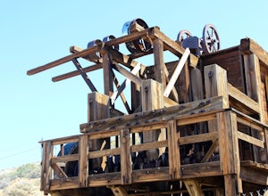
4.09 mi / 545 ft gainTo get to the trailhead, take Key's View Road from Park Blvd for around 2.5 miles and turn left onto a dirt road. The trailhead is at the end of this road. From here, you have the option to do the 6.1 mile loop or the 4 mile roundtrip out and back. This trail takes you through a beautiful desert ...Read more -
Riverside County, California
Backcountry Camp in Joshua Tree
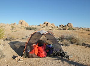
5.02 miBackcountry camping can be done at various locations throughout the park (13 different locations). Upon arrival to the park, you will be given a map and can backcountry camp from any of the locations marked with a "B".At these locations you will find a backcountry registration board. It's extrem...Read more -
San Diego County, California
Hike Sheep Canyon
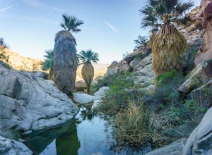
5.03 mi / 1000 ft gainSheep Canyon is probably the most remote palm canyon in Anza-Borrego Desert State Park in California. While Palm Canyon is easily accessed from the State Park campground, Sheep Canyon is on a dirt road that requires stream crossings and potentially a high-clearance 4WD vehicle. The canyon is nam...Read more -
Borrego Springs, California
The Slot
4.72.2 mi / 266 ft gainHiking The Slot From the parking lot, you will take the trail into the canyon that is directly in front of you. This will be the hardest and steepest part of the hike. There are no trail markers for the Slot. You can take the trail to the right of the parking lot very briefly, but make sure or y...Read more -
Borrego Springs, California
Hike the Panorama Overlook in Anza Borrego Desert State Park
1.6 mi / 636 ft gainThis is an out and back 1.6 mile round trip with 636 feet of elevation gain. The top has excellent views of Anza Borrego. It is close to the visitor center.Read more -
Borrego Springs, California
Camping in Anza-Borrego State Park
5.0With over 600,000 acres, Anza-Borrego Desert State Park is the largest state park in the contiguous United States. 500 miles of dirt roads, 12 wilderness areas and miles of hiking trails provide visitors with an unparalleled opportunity to experience the wonders of the Colorado Desert. The park i...Read more -
Borrego Springs, California
Hike through Borrego Palm Canyon
5.03.25 mi / 450 ft gainBorrego Palm Canyon Trail is located just north of the park visitor center, making it a convenient place to begin your exploration of the Anza-Borrego Desert. To reach the trailhead, drive through Borrego Palm Canyon Campground, the largest developed campground in the park, where an $8 day use fe...Read more -
Twentynine Palms, California
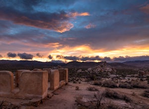
Ryan Ranch
0.75 mi / 56 ft gainIf you're in Joshua Tree, this is a great spot for sunset. A short, maybe 1/2 mile hike to the old ranch from the parking lot. We stayed at Ryan Campground and just walked in from there, about the same distance. Make sure to bring your camera, especially if there are spotty clouds in the sky a...Read more -
Riverside County, California
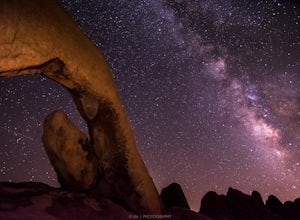
Night Shoot at Arch Rock
4.7If you're setting up camp, be sure to check out White Tank Campground, which is home to one of the most epic rock formations. The Arch is located here. It's only about 1/2 round trip of walking to this spot. Geology Tour Road offers some flat wide open views of Joshua Trees in all directions. If ...Read more -
Riverside County, California
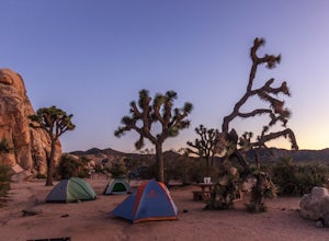
Camp at Joshua Tree's White Tank Campground
5.0White Tank Campground is in the perfect spot to get a taste of all that Joshua Tree has to offer. As a central location to nearby hiking and climbing, it is easy to access the various parts of the park. Removed from the border of the park, White Tank doesn't attract as many visitors as the more p...Read more -
Riverside County, California
Camp at Ryan Campground in Joshua Tree NP
5.0The Ryan Campground is but one of many beautiful campgrounds in Joshua Tree National Park. It is located just south of the Hidden Valley use area. There are 31 sites as well as a horse camp. This campground does not have water, but does have pit toilets.For weekend trips into Joshua Tree, it is o...Read more

