Lytle Creek, California
Lytle Creek, California is a top destination for outdoor adventures. It offers some of the best trails and outdoor activities in the region. The Middle Fork Lytle Creek Trail is a must-visit for hikers. This 6.4-mile trail is moderately difficult, with scenic views of the creek, waterfalls, and diverse vegetation. For a more challenging hike, the Cucamonga Peak via Icehouse Canyon is a 10.5-mile trail with stunning views of rock formations and a river. Nearby, the Bonita Falls Trail is a 1.5-mile trail leading to one of the tallest waterfalls in Southern California. It's a great spot for picnics and bird-watching. In addition to hiking, Lytle Creek is also known for its fishing spots, notably in the Lytle Creek North Fork.
Top Spots in and near Lytle Creek
-
Agua Dulce, California
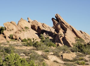
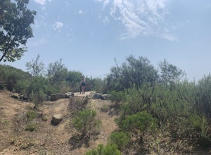
Vasquez Rocks
5.02.42 mi / 367 ft gainThis is a Natural Park Area located in Santa Clarita, within the Sierra Pelona Mountains. It features amazing diagonal rock formations, created because of the force between two tectonic plates pushing against each other. This place is a photographer's paradise, and every spot in this 900+ acre l...Read more -
Signal Hill, California
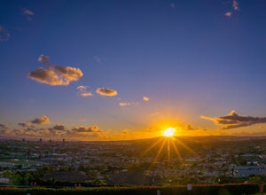
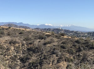
Hilltop Park
4.7Hilltop Park is located in Signal Hill and offers an unmatched panoramic view of the Los Angeles Basin. If you go on a clear day, you may even be lucky enough to see Catalina Island and the Santa Monica and San Gabriel Mountains. This park is the perfect spot for families, dogs, and even dates. T...Read more -
Long Beach, California
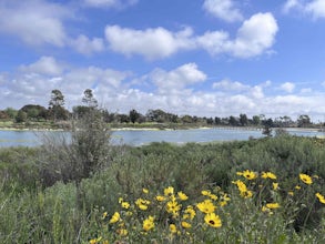
Colorado Lagoon
5.00.95 mi / 30 ft gainThe Colorado Lagoon is a wetland that is being restored. To make this 1 mile walk into a loop, you have to walk along sidewalks near the park. This is a very kid-friendly destination. This trail crosses over the lagoon on a boardwalk. It also accesses a sandy swimming beach with restrooms, picnic...Read more -
Huntington Beach, California
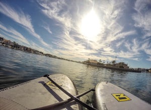
Stand Up Paddle (SUP) in Huntington Harbor
4.5Huntington Harbor is the perfect location for an easy and relaxing stand up paddle board session. Here you will get to enjoy the view of the houses by the harbor, some boats sailing by, and some low bridges you'll have to paddle through while ducking on your board (fun!).There are several stores ...Read more -
Huntington Beach, California
Bolsa Chica Ecological Reserve Trail
4.72.97 mi / 30 ft gainThe Bolsa Chica Ecological Reserve Trail is great for birding and wildlife viewing. If you want a longer hike, you can extend the mileage by heading down the riverbed trail. The trail is open year-round. Dogs are not allowed in Bolsa Chica. Bolsa Chica State Beach is easily accessible from Oran...Read more -
Long Beach, California
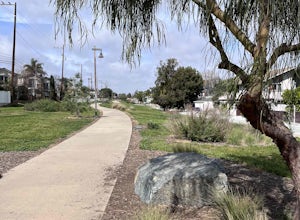
Red Car Greenbelt
5.00.63 mi / 0 ft gainThe Greenbelt used to be the right-of-way for the long lost Pacific Electric Red Car, an amazing system of public transportation that connected Long Beach, LA, Orange Coutny, and even San Bernardino. The pathways are landscaped with plants typical of the area and plenty of native flowers for the...Read more -
Seal Beach, California
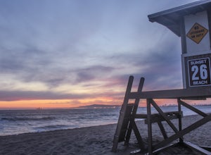
Sunset Beach
4.6Sunset Beach is located just 9 miles south of Long Beach and 6 miles North of Huntington Beach, CA on the famous Pacific Coast Highway 1. I accessed Sunset Beach from the South on I-405. I took exit 22 for Seal Beach. After the exit I turned a left/west on Seal Beach Blvd and drove for 2.6 miles ...Read more -
Los Angeles, California
Runyon Canyon Loop
3.22.67 mi / 728 ft gainLocated in the Hollywood Hills, Runyon is an iconic workout run/ hike that can give you great views all the way to the ocean. There are a few different loop trails/ hikes you can take ranging from ~1.5mi to 3.25mi all with a decent amount of elevation gain. Also, remember this is Hollywood, so yo...Read more

