Lytle Creek, California
Looking for the best photography in Lytle Creek? We've got you covered with the top trails, trips, hiking, backpacking, camping and more around Lytle Creek. The detailed guides, photos, and reviews are all submitted by the Outbound community.
Top Photography Spots in and near Lytle Creek
-
Long Beach, California
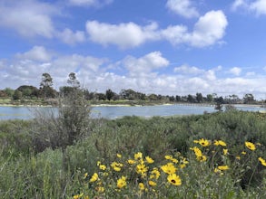
Colorado Lagoon
5.00.95 mi / 30 ft gainThe Colorado Lagoon is a wetland that is being restored. To make this 1 mile walk into a loop, you have to walk along sidewalks near the park. This is a very kid-friendly destination. This trail crosses over the lagoon on a boardwalk. It also accesses a sandy swimming beach with restrooms, picnic...Read more -
Huntington Beach, California
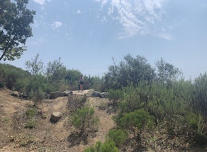
Bolsa Chica Ecological Reserve Trail
4.72.97 mi / 30 ft gainThe Bolsa Chica Ecological Reserve Trail is great for birding and wildlife viewing. If you want a longer hike, you can extend the mileage by heading down the riverbed trail. The trail is open year-round. Dogs are not allowed in Bolsa Chica. Bolsa Chica State Beach is easily accessible from Oran...Read more -
Long Beach, California
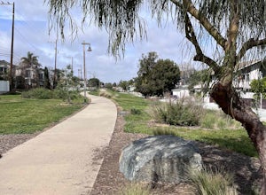
Red Car Greenbelt
5.00.63 mi / 0 ft gainThe Greenbelt used to be the right-of-way for the long lost Pacific Electric Red Car, an amazing system of public transportation that connected Long Beach, LA, Orange Coutny, and even San Bernardino. The pathways are landscaped with plants typical of the area and plenty of native flowers for the...Read more -
Seal Beach, California
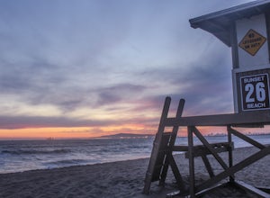
Sunset Beach
4.6Sunset Beach is located just 9 miles south of Long Beach and 6 miles North of Huntington Beach, CA on the famous Pacific Coast Highway 1. I accessed Sunset Beach from the South on I-405. I took exit 22 for Seal Beach. After the exit I turned a left/west on Seal Beach Blvd and drove for 2.6 miles ...Read more


