Lucerne Valley, California
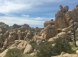
Lucerne Valley in California offers some of the best trails and outdoor activities for those seeking adventure. One must-visit is the Cougar Buttes trail, a top-rated hiking path that promises scenic views of unique rock formations. The trail is moderately difficult, making it suitable for most hikers. Another notable attraction is the Big Bear Lake, a short drive from Lucerne Valley. It's ideal for fishing, boating, and swimming. For those who prefer a more relaxed outdoor adventure, the Lucerne Valley Market & Hardware is a great spot for picnics and offers an impressive view of the surrounding mountains. For a truly unique experience, the nearby King Clone Ecological Reserve offers a glimpse of some of the oldest known creosote bush ring in the Mojave Desert. These attractions make Lucerne Valley a top destination for outdoor adventures.
Top Spots in and near Lucerne Valley
-
Angelus Oaks, California
San Bernardino Peak
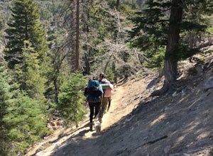
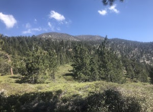
3.015.82 mi / 4911 ft gainThe San Bernadino Peak Trail out of Angelus Oaks is a very challenging hike, which can either be done as a day hike or an overnight trip. Free permits are required for day hiking and overnights in the San Gorgonio Wilderness. These permits can be accessed via Sgwa.org/permits. If you choose to ...Read more -
Forest Falls, California
Summit Mt. San Bernardino from Angelus Oaks
16 mi / 4775 ft gainThe trailhead is somewhat 'interesting' to get to given the dirt roads are in questionable shape and some of the roads in Angelus Oaks are not easily identifiable but I didn't have any problems finding it by closely following Google Maps. Trailhead parking requires an Adventure Pass parking pe...Read more -
Crestline, California
Hike the Heart Rock Trail
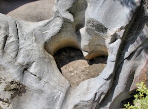
4.51.8 miThis short but nice hike near Crestline, CA in the San Bernadino Forest is one for the whole family. Although finding the trailhead/parking lot can be a bit confusing, it is definitely worth it. Driving in from the Inland Empire/LA Area, follow The Rim of the World Trail (SH18) until you see the...Read more -
Hesperia, California
Sawpit Beach
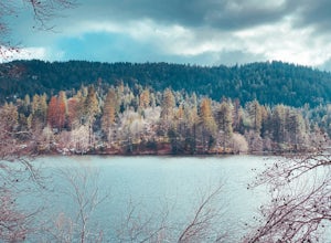
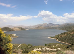
Sawpit Beach, is nestled within the Silverwood Lake State Recreation Area. The beach offers a peaceful respite along the southern shores of Silverwood Lake. With lifeguards on duty during the summer months, families can enjoy a worry-free day of swimming and relaxation. The sandy shores provide t...Read more -
Hesperia, California
Cleghorn Beach and Day Use Area
Nestled at the southwestern edge of Silverwood Lake lies Cleghorn Beach and Day Use Area, a perfect spot for a leisurely afternoon. This family-friendly beach boasts lifeguards on duty during the summer months and offers reservable picnic shelters for your convenience. Unlike other parts of the l...Read more -
Forest Falls, California
Vivian Creek Trail to San Gorgonio Peak
17.83 mi / 5627 ft gainVivian Creek Trail to San Gorgonio Peak is an out-and-back trail that takes you by a waterfall located near Forest Falls, California.Read more -
Forest Falls, California
Summit Mt. San Gorgonio
4.717 mi / 5840 ft gainA hiking permit is required to hike in the San Gorgonio Wilderness. Apply for the permit early as the Vivian Creek Trail is the second most popular trailhead for the area and quotas fill up in advance. The permits are free and the entire process can be handled via fax or mail. All the information...Read more -
Pioneertown, California
Pioneertown to Big Bear via Burns Canyon Road and 2N02
18.8 mi / 3287 ft gainThe Pioneertown to Big Bear trail via Burns Canyon Road and 2N02 is a unique hiking route in Pioneertown, California. This trail is known for its diverse terrain and stunning views. The trail starts in the historic Pioneertown and winds its way up to Big Bear, a popular mountain resort. The tra...Read more -
Pioneertown, California
Indian Trail Loop at Pipe's Canyon
6.16 mi / 892 ft gainIndian Trail Loop at Pipe's Canyon is a loop trail where you may see beautiful wildflowers located near Pioneertown, California.Read more -
Redlands, California
Run the Carriage Trail
3.52.5 mi / 300 ft gainThere is room to park just off San Timoteo Road. On the other side of the trail is more parking off Alessandro. You can park your car on either side and start your run/walk/bike ride. This is a nice little "get away" trail to take a break from suburbia.Read more -
Lytle Creek, California
Old CC Spur Trail via Big Tree Cucamonga Rd
5.11 mi / 1138 ft gainOld CC Spur Trail via Big Tree Cucamonga Rd is an out-and-back trail that takes you by a waterfall located near Fontana, California.Read more -
Pioneertown, California
Visit Historic Pioneertown
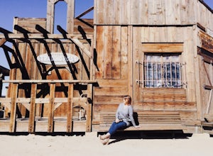
Here in California we have a lot of desert to sift through. When trying to figure out how to navigate the mass, you have to know the places worth fighting the brutal heat or chilling cold. Pioneertown will lure you in regardless. You will see why as you make your way up the 4-mile winding road of...Read more -
Landers, California
Explore Giant Rock
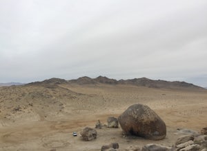
This is an adventure that my wife and me have been wanting to do for a while now. We finally decided to make the 30 minute journey out to Landers from Yucca Valley. There are quite a few points of interest along the way, but that is a story for another adventure.Giant Rock is 5.2 miles northwest ...Read more -
Morongo Valley, California
Big Morongo Canyon Trail
11.65 mi / 1401 ft gainBig Morongo Canyon Trail is a loop trail where you may see wildflowers located near Morongo Valley, California.Read more -
Whitewater, California
Red Dome via Pacific Crest Trail
4.3 mi / 387 ft gainRed Dome via Pacific Crest Trail is an out and back trail that takes you by a lake located near Whitewater, CaliforniaRead more -
Whitewater, California
Rainbow Rock Canyon
6.3 mi / 1112 ft gainRainbow Rock Canyon is an out and back trail that takes you by a lake located near Whitewater, CaliforniaRead more

